Blog Article
Texas Rain Threatens Draft Parties While Dallas Braces for Storms
A cutoff low is bringing heavy rain and flood risks to Houston and Austin outdoor events, while a new severe weather threat targets Dallas on Friday.
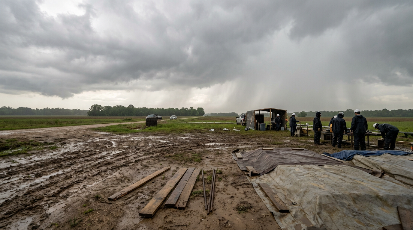
Get this, y'all. The NFL Draft is practically a holiday in Texas, and the Houston Texans are gearing up to host a massive street party for season ticket members outside the stadium this Thursday. Over in the Hill Country, the Austin Blues Fest is setting up outdoor stages for their late shows.
But the atmosphere is throwing a serious wrench into the logistics.
We talked this morning about the training thunderstorms setting up over the state. Tonight, we are seeing the real-world impact of that setup. The Weather Prediction Center has a Slight Risk of excessive rainfall over South-Central Texas right now. Rain rates are hitting an inch and a half per hour in some spots.
That heavy rain threat is slowly migrating east. By Wednesday and Thursday, the focus shifts right over Southeast Texas and the Houston metro area.
Here is what is happening up in the atmosphere. We have a cutoff low pressure system out West. Think of it like a pool of cold air that got pinched off from the main jet stream. Without those upper-level winds to push it along, it just meanders. Right now, it is acting like a giant water pump, pulling deep Gulf moisture straight into the Lone Star State.
Normal high temperatures for Houston and Austin this time of year are in the upper 70s. It should be perfect festival weather. Instead, event crews are working in the mud, and the ground is completely saturated. If you are heading to an outdoor event in Southeast Texas later this week, trade the sneakers for boots. The urban flash flooding threat is very real when you put heavy rain over concrete that has nowhere to drain.
The Severe Threat Returns North
While Houston deals with the water, folks up I-45 in Dallas need to watch the forecast for Friday.
The Storm Prediction Center has already highlighted a 15 percent risk area for severe storms on Day 5. This zone covers Dallas, Plano, Garland, and stretches northeast up into Little Rock, Arkansas.
We just went through an exhausting week of severe weather. Last week brought a massive outbreak across the Plains and Midwest, complete with 95 mph winds and grapefruit-sized hail. I know folks are dealing with severe weather fatigue.
But the pattern is shifting again. That upper-level energy moving out of the Rockies is going to clash with the warm, humid air currently pooling in the South. When those two air masses meet on Friday, the atmosphere will destabilize quickly.
We will have a much clearer picture of the exact timing and storm modes by Wednesday. For now, the takeaway is simple. If you are in Southeast Texas, plan for water. If you are in North Texas or Arkansas, use these next few quiet days to review your severe weather plan before Friday arrives.