Blog Article
Jersey's Storm Watch, an Ida Echo, and 4 Storms Now
Why New Jersey searched 'severe thunderstorm watch,' how it echoes Ida's 2021 tornadoes, and why four tropical storms are spinning across two oceans tonight.
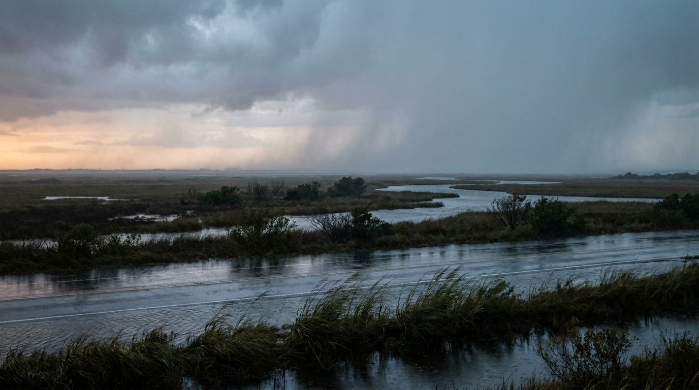
New Jersey's Storm Search, a Five-Year Echo, and Four Storms Spinning at Once
Alright folks, let's talk about what New Jersey was Googling tonight. "Severe thunderstorm watch" cracked 10,000-plus searches, and the reason is simple. It's real. The Storm Prediction Center has a Slight Risk painted across southern New York, New Jersey, and the wider Mid-Atlantic through early Wednesday morning, with damaging wind gusts and hail up to two inches possible where storms get organized. There's even a 2 percent isolated tornado threat mixed in. That's not a huge number, but it's not zero either, and when you're talking about a corridor that includes New York City and Philadelphia, a 2 percent chance still means real people need to know it's out there.
The Five-Year Echo
Here's a detail that gave me chills looking at today's date. Five years ago today, on September 1, 2021, the remnants of Hurricane Ida spun up EF2 tornadoes in Pennsylvania and Maryland, part of an outbreak that put 15 tornado reports on the board across the region. Today's setup is not that. Ida was a tropical system dragging deep moisture and low-level shear up the coast. Tonight's storms are a non-tropical frontal push, mostly a wind and hail threat rather than a tornado outbreak. Same calendar date, same general geography, completely different atmospheric fingerprint. It's a good reminder that history can rhyme without repeating, and that's exactly how we should treat it: an interesting coincidence, not a forecast.
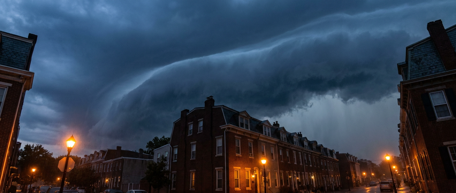
Four Storms, Two Oceans
While Jersey's phones were buzzing, the tropics quietly put together one of the more remarkable lineups we've seen all year. Right now there are two hurricanes and two tropical storms active at the same time, split between the Atlantic and the East Pacific.
- Tropical Storm Edouard made landfall near Sabine Pass, Texas, this afternoon and is now grinding inland over southeast Texas. This is the one with actual teeth on the ground. The Weather Prediction Center has a Moderate excessive rainfall risk for the upper Texas coast into the Piney Woods, with rainfall rates of 2 to 3 inches an hour and localized totals over 6 inches. The Houston-Galveston corridor and the Port Arthur to Beaumont stretch are the areas to watch, and that Moderate risk holds into Wednesday as the remnant circulation keeps training storms over the same ground.
- Hurricane Karina is a Category 4 monster out in the East Pacific, packing 132 mph winds, but it's more than 1,300 miles west of Baja California and headed further out to sea. No coastal watches, no warnings, just an impressive number on a chart.
- Hurricane Lowell is the one worth watching if you've got people in Hawaii. It's strengthening fast and forecast to become a major hurricane by Wednesday, tracking a few hundred miles southeast of the islands. It's not forecast to make a direct hit, but it's close enough to kick up life-threatening surf and rip currents along south and east-facing shores.
- Tropical Storm Marie is the quiet one, strengthening off southwestern Mexico with no US land threat on the table.
Four named systems at once is a lot, even for a busy August-into-September stretch that already gave us Hurricane Lala battering Hawaii with 140 mph summit gusts a couple weeks back. This isn't record-breaking, but it is the kind of tropical traffic jam that gets forecasters checking four different screens at once.
What This Actually Changes for Your Plans
If you've got tickets to the US Open in Queens, keep an eye on tonight and tomorrow morning. That slight risk zone runs right through southern New York, and outdoor courts without Arthur Ashe's retractable roof could see a rain or wind delay mixed into the Coco Gauff and Arthur Fery storylines everybody's already following.
Baseball fans, Wednesday is the day to watch. The SPC bumped the damaging wind probability up to 30 percent for Wednesday's Great Lakes-to-Mid-Atlantic corridor, the highest number on the board all week. That's the Blue Jays and Guardians in Cleveland, and the Braves and Nationals in DC, both playing under a notably higher wind threat than tonight's game.
And if you're circling this weekend's college football kickoff, there's decent news. By Thursday the severe risk retreats mostly to the Ohio Valley and Mid-Atlantic coast, meaning Thursday night games in Piscataway and Buffalo should see a calmer setup than what's rolling through tonight. September in the Northeast normally runs closer to the mid-70s for a high in New York and upper 70s in Philadelphia, so the warmth and humidity fueling this week's storms isn't out of line for the season, it's just arriving with an unusually busy tropical backdrop.
The Takeaway
Jersey's search bar had it right tonight. There's a real, if modest, severe threat working through the Mid-Atlantic, a five-year-old tornado outbreak sharing today's date by coincidence alone, and four tropical systems spinning across two oceans, only one of which, Edouard, is actually putting rain on anybody's roof right now. Watch the ground-level threat in Texas and the Mid-Atlantic corridor. Enjoy the trivia about the rest.