Blog Article
NM Flood Damage Mounts as Vance Remnants Eye West Texas
New Mexico's flood damage tops hundreds of millions as Tropical Storm Vance's remnants threaten renewed flash flooding in the same saturated region.
New Mexico's Flood Bill Is In, and West Texas Might Be Next
Alright folks, here's a headline that caught my eye today: flood damage estimates out of New Mexico are running into the hundreds of millions of dollars. Just from the last few weeks. That's not a typo, and if you've been following along, you already know why.
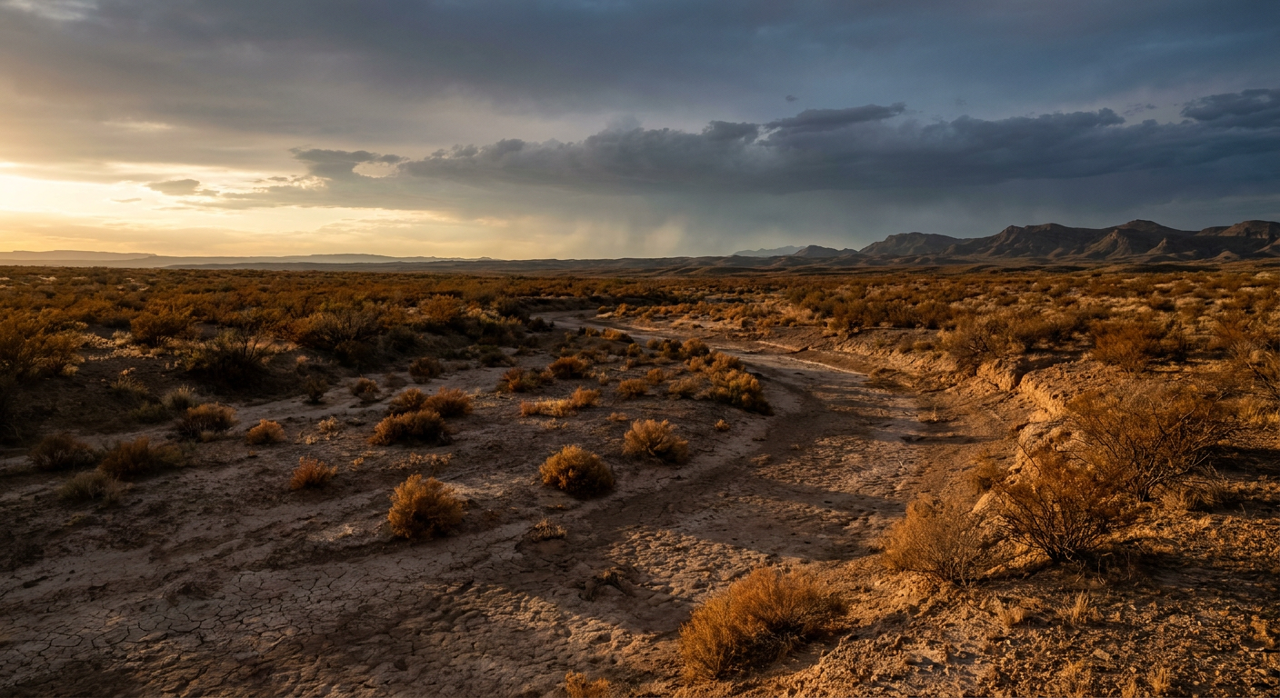
We lost someone near Bernardo, New Mexico, on Sunday. An adult woman swept away in her vehicle when the Rio Puerco came up fast. Fifteen other people needed water rescue in that same stretch. Interstate 40 got closed near Seama earlier in the week when floodwater went over the highway. The San Juan River basin up north flooded an estimated 1,500 structures. This has been a brutal October for New Mexico's rivers and arroyos, and now somebody's doing the math on what it costs to clean up after all of it.
So here's the thing that makes tonight's forecast worth your attention. That same general stretch of the Southwest, from southeastern New Mexico into Far West Texas, is lining up for more rain by the end of the week. Different storm. Same vulnerable ground.
Meet the Repeat Offender: Tropical Storm Vance
Vance is sitting offshore of southwestern Mexico right now, about 280 miles from Cabo Corrientes, holding at 40 mph winds. It's not a strong storm and it's fighting wind shear and dry air, which is why it's been stubbornly disorganized for days. Vance is forecast to approach the Mexican coast near Topolobampo by Friday morning.
But here's what matters for us. Vance doesn't need to make a dramatic landfall to cause trouble. Its remnant moisture is forecast to lift north into Mexico, get picked up by a midlevel shortwave trough, and ride into Texas. The Weather Prediction Center already has a Slight Risk of excessive rainfall painted for Thursday into Friday across west and central Texas, with the heaviest rain potential stretching from the Permian Basin into southeastern New Mexico. That's the same WFO territory, Midland/Odessa and El Paso, that's already stretched thin from this month's flooding.
Why Soaked Ground Doesn't Forgive and Forget
Think about a towel that's already damp. Pour a cup of water on a dry towel and it soaks it right up. Pour that same cup on a towel that's already wet, and it just runs off the sides.
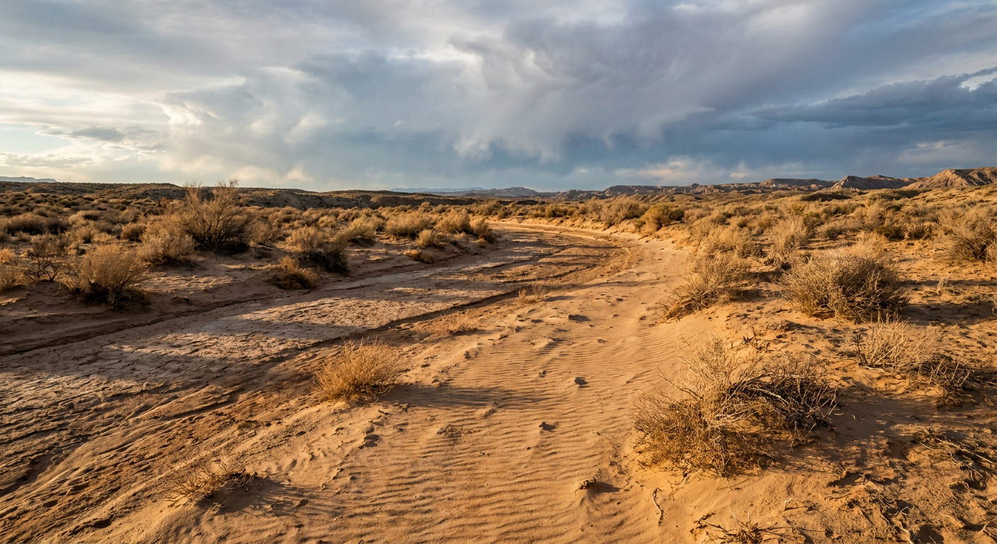
Ground works the same way. After weeks of repeated heavy rain across the Desert Southwest this October, soils across parts of West Texas and southeastern New Mexico are saturated. Washes and arroyos that are normally bone dry have already seen multiple rounds of flash flooding. Burn scars from earlier wildfire seasons are even worse, since scorched soil barely absorbs water at all. That means it doesn't take a record rainfall event to cause problems. It just takes rain falling on ground that's already full.
The current outlook calls this a Slight Risk, meaning at least a 15% chance of flash flooding in that corridor. That's not a worst-case scenario label. But given what this same region has already been through this month, including a fatality, road closures on I-40 and US-70, and dozens of water rescues, it's a forecast worth watching closely if you live or travel through the Permian Basin, Midland, Odessa, or far West Texas later this week.
Tonight, Though? Most of the Country's Doing Just Fine
If you're not in that corridor, tonight is actually a pretty great night to be outside. High pressure has settled in across a belt running from the Texas Panhandle through Missouri and into Georgia and the Carolinas, with light wind and nearly cloud-free skies. Highs today landed in the low-to-mid 70s across a lot of that zone, which is right around normal to a touch below normal for this point in late October for spots like Oklahoma City and Little Rock.
That's good news if you've got anything on the calendar tonight. There's a stacked slate of outdoor college sports and concerts happening right now, soccer in East Lansing, volleyball down in Athens, Ohio, shows in Columbus and Grand Rapids. None of that gets touched by tonight's weather. Enjoy it.
A Bonus for the Halloween Crowd
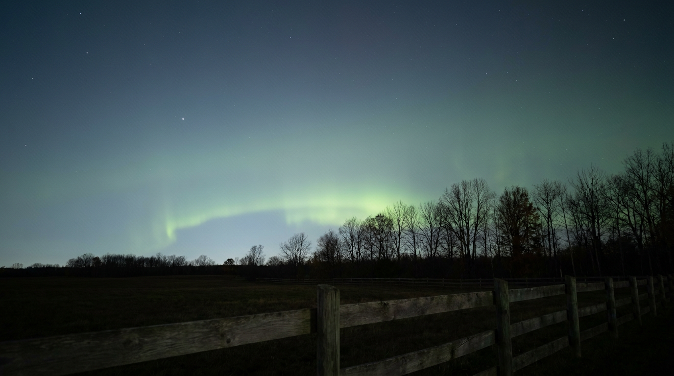
Here's a fun one buried in the space weather data. NOAA's Space Weather Prediction Center is watching for a minor G1 geomagnetic storm right around October 31, with Kp values reaching 5. That's a modest disturbance, nothing dramatic, but it does mean northern-tier states could get a faint shot at seeing the aurora on Halloween night if skies stay clear. No guarantees, and G1 is about as mild as these storms get, but if you're up in the northern Plains or Upper Midwest and the sky's dark enough, it might be worth a glance north after trick-or-treating wraps up.
The Takeaway
New Mexico is still counting the cost of a month that hit its rivers and arroyos over and over. Now a piece of what's left of Tropical Storm Vance is aiming at some of that same saturated ground in West Texas and southeastern New Mexico by the end of the week. It's only a Slight Risk right now, not a worst-case setup, but after everything this region has already absorbed, it doesn't take much to cause trouble twice in the same place.
https://ryanhallyall.com/blog/new-mexicos-flood-bill-is-in-and-west-texas-might-be-next