Blog Article
Norbert Stays at Sea, Plains Severe Storms Return This Week
Tropical Storm Norbert should miss Hawaii, but SPC and WPC flag renewed severe storm and flash flood risk from the Ohio Valley to the Plains this week.
Norbert Stays Offshore, But the Plains and Midwest Have Their Own Storm Worries This Week
Alright y'all, let's start out in the Pacific because that's where the highest-priority item on the board is sitting today.
Tropical Storm Norbert: Watching, Not Worried, For Hawaii
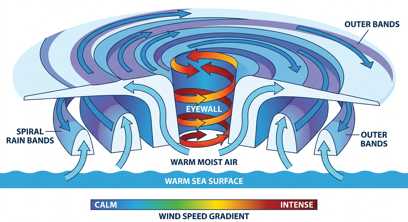
Tropical Storm Norbert is out there churning about 1,450 miles west of the southern tip of Baja California, moving west at 12 mph with 52 mph sustained winds and a central pressure of 1000 millibars. The National Hurricane Center's overnight update noted Norbert's convection got a little better organized, with cloud tops as cold as -80°C bursting up over the circulation. That's a sign the storm firmed up some overnight, but the bigger picture hasn't changed. Norbert is forecast to keep moving west over open water and dissipate well east of Hawaii by the middle of next week.
Our experimental impact model has this pegged as "aware" level for the Big Island, meaning it's on the radar but not a direct threat. Closest approach to Hawaii Island is expected around 4.5 days out, likely passing 150 to 200 miles south of spots like Hilo and the Kona Coast, with intensity weakening to around 30 mph winds by that point. That said, here's the thing worth flagging: Hawaii's soil hasn't fully recovered from Hurricane Lowell, Moke, and Lala earlier this season. Even a storm that stays offshore can still fling enough moisture at the islands to matter for runoff and stream levels, so if you're in Hawaii, keep an eye on the Honolulu forecast office through the week.
The Pacific Isn't Done Yet
Right behind Norbert, there's a second system getting attention. An area of low pressure a few hundred miles southwest of Mexico, tagged as Invest 97EP, already has 25 knot winds and a 1008 millibar pressure. NHC's outlook gives this one an 80% chance of development in the next two days and a 90% chance over the next week, which is a HIGH risk designation. It's too early to talk about any US impacts, but given how active the Eastern Pacific has been this season, this is one we'll keep tracking as it likely becomes our next named storm.
Severe Weather Returns to the Plains and Midwest
Back over land, we're still cleaning up from a genuinely wild 24 hours. Yesterday's severe weather watches over Oklahoma, southwest Kansas, and the Texas Panhandle produced a 75 mph gust in Clark County, Kansas, a 71 mph gust near Collinsville, Oklahoma, and two-inch hail in Kiowa County. There was even a radar-indicated tornado warning in Virginia and a confirmed EF-0 near Spring Grove. That's on top of a week that already included Des Moines picking up nearly 8 inches of rain and repeated flash flooding across the Upper Ohio Valley.
Today's SPC outlook has calmed down some. There's a Marginal Risk of severe storms across the Ohio Valley into the Northeast, covering Columbus, Cleveland, Cincinnati, Pittsburgh, and Buffalo, with isolated strong to severe storms possible this afternoon and evening. Wind and hail probabilities are both sitting at just 5%, so this is a garden-variety "keep an eye on the sky" kind of day, not a big outbreak setup.
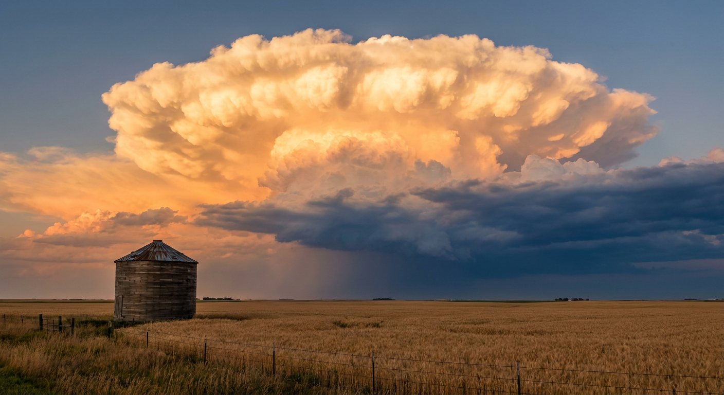
Monday is where things pick back up. SPC has a Slight Risk posted for eastern Nebraska into western and central Iowa, right over Omaha, Council Bluffs, and Des Moines, with a broader Marginal Risk fanning out across the surrounding Plains and Upper Midwest. The window is late Monday afternoon into evening as a retreating frontal boundary meets increasing moisture and strengthening southerly flow. Wind and hail probabilities climb to 15%, and there's even a small hatched area where SPC thinks hail could reach two inches or bigger, hen-egg size. There's also a conditional tornado threat, including a separate significant-tornado zone where any tornado that forms could reach EF2 strength. That's not the headline threat of the day, but it's not zero either.
By Tuesday, the Marginal Risk corridor slides into a swath from Chicago and Fort Wayne down through Kansas City, Wichita, and Topeka, as a weakening shortwave trough works through the lower Missouri Valley. Damaging wind gusts are the main concern there.
Flash Flood Risk Sticks Around Too
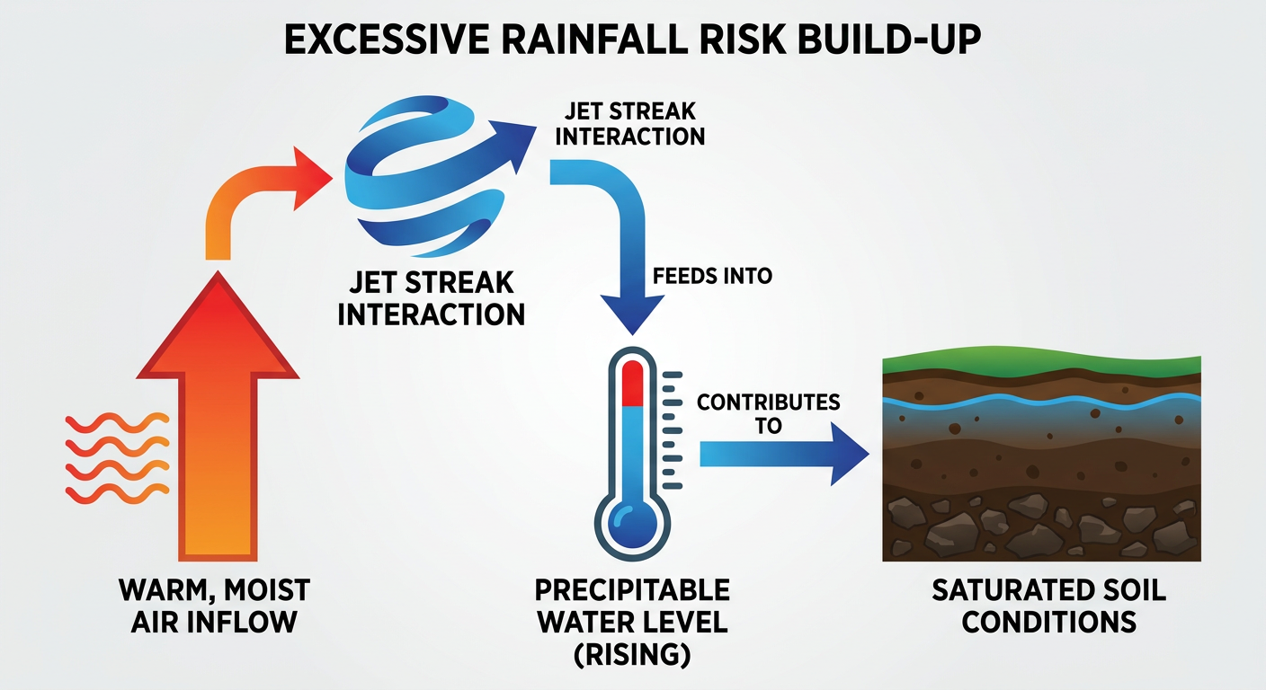
On the rainfall side, WPC has Slight Risk areas for excessive rainfall today across the Northeast and the Central Plains. In the Northeast, a strengthening jet streak is helping spin up a surface low along a warm front, with precipitable water values running 2.0 to 2.25 inches, plenty of fuel for another round of urban flash flooding in spots like New York, Philadelphia, and the DC-Baltimore corridor. That's the same general area that saw I-95 lane closures in Richmond and flooded streets across Pennsylvania just yesterday.
Day 2 shifts the Slight Risk into the Midwest and Southwest, driven by a strong closed upper low producing exceptional moisture transport, with IVT values topping 1000 kg/m/s over the Missouri River Valley into Minnesota Monday morning. Day 3 keeps a multi-day flood concern going across the Central Plains and Midwest, with precipitable water values forecast above the 99th percentile for this time of year. Translation: the ground in parts of the Plains and Midwest, already saturated from a very wet start to September, may not have much room left to absorb another heavy hit.
Game Day and Travel Impacts
If you've got NFL Sunday plans, most of the slate looks fine. The Bengals host the Bucs in Cincinnati and the Steelers host the Falcons in Pittsburgh, both sitting inside today's Marginal severe risk zone, so an isolated strong storm rolling through during tailgating hours isn't out of the question, though kickoff itself should be manageable. The Eagles-Commanders game in Philadelphia falls inside that Northeast excessive rainfall Slight Risk, so a soggy afternoon is more likely than a severe weather issue there.
Baseball fans should watch the forecast in Minneapolis (Twins vs. Guardians) and Chicago (Cubs vs. Pirates), both on the fringe of the developing Midwest rain threat building for Monday and Tuesday.
Space Weather: Quiet For Now
Quick note for the aurora chasers. SWPC's latest outlook shows the geomagnetic field running quiet to unsettled, with the last notable G1 Minor storm back on September 8. The next chance for elevated activity isn't until September 24 through 26. Solar activity remains low, with C-class flares likely and just a slight chance of an isolated M-class flare through Tuesday. Nothing to change your plans over.
What We're Watching
- Invest 97EP development pace in the Eastern Pacific, currently at 80% (Day 2) and 90% (Day 7) odds of becoming a tropical storm
- Norbert's track and whether any peripheral moisture reaches saturated Hawaiian soils
- Monday's Slight Risk severe setup for Omaha, Council Bluffs, and Des Moines, including that small significant-tornado hatched zone
- Multi-day excessive rainfall threat building across the Central Plains and Midwest into midweek on top of already soggy ground
- Tuesday's Marginal severe risk sliding into Chicago and Kansas City
Bottom Line
Norbert is not a Hawaii threat as of now, it's forecast to fizzle out over open water, but the islands' saturated ground means any leftover moisture is worth watching. The bigger story for the Lower 48 this week is a return of both severe storms and flash flood risk across the Plains and Midwest, layered on top of a region that's already had a rough go of flooding this month. Today's severe risk is low-end and confined to the Ohio Valley and Northeast. Monday is the day to watch closely if you're in eastern Nebraska or western Iowa, and the flash flood threat sticks around into midweek from the Central Plains through the Midwest. Keep the weather app handy if you're headed to a ballgame or tailgate this weekend, and check back Monday for the latest on that Iowa-Nebraska setup.