Blog Article
World Cup Calm, Oshkosh Storm Risk, Gulf Coast Watch
World Cup Final fans get calm skies tonight, but Oshkosh AirVenture faces an Enhanced Risk severe day and the Gulf Coast watches a developing Tropical Depression.

One Stadium, One Flightline: A Tale of Two Crowds and Two Very Different Skies
Alright folks, tonight is a big one for sports fans. Argentina and Spain are squaring off in the World Cup Final at MetLife Stadium in East Rutherford, and something like 82,000 people are packed into that bowl right now watching Messi and Lamine Yamal try to win the biggest trophy in the sport. Here's the weather angle nobody's talking about: less than 48 hours ago, that same corner of New Jersey got worked over by the same system that dropped waterspouts off Asbury Park and Mantoloking, snapped power poles across the Mid-Atlantic, and put tornado warnings up in four states. Radar-indicated gusts hit 70 to 80 mph in spots. Tonight, that system is long gone, and the Northeast is sitting in a much calmer pattern. Good timing for a few hundred thousand soccer fans.
But while one giant crowd gets a break, another one is walking straight into trouble.
What's Brewing in Wisconsin
Starting tomorrow, hundreds of thousands of aviation fans will start pouring into Oshkosh, Wisconsin for EAA AirVenture, the largest fly-in gathering in the world. Thousands of small aircraft. Tens of thousands of tents. And the Storm Prediction Center just put an Enhanced Risk, that's Level 3 of 5, right over the corridor from Iowa across Wisconsin and into western Upper Michigan for Monday. Milwaukee, Madison, and Green Bay are all in that zone, along with about 7.4 million people.
Here's what that means in plain terms. There's a 30 percent chance of numerous damaging wind reports, and inside the hatched part of that outlook, gusts could reach 75 mph or better. There's also a 5 percent tornado probability, with the chance of an EF2 or stronger tornado if storms get organized enough. The setup driving this is a strong shortwave trough diving into the upper Mississippi Valley, running into steep lapse rates and 50 to 70 knot flow aloft. That's the kind of ingredient list that builds supercells, not garden variety pop-up storms.
If you've been following our Weather Intensity Score conversation from yesterday's post, this is exactly the kind of day the score is built to catch early, storms organizing ahead of warnings, in a spot where a lot of people happen to be standing around outdoors.
July has some history here too. Iowa saw two EF3 tornadoes on this same date back in 2018. Northern Illinois had two EF2s in July 2024. And Minnesota's deadly EF4 in July 2020 is a reminder that this part of the country can absolutely produce violent tornadoes in the summer months. None of that means tomorrow repeats any of it. It just means the ingredients for something serious aren't unusual for this corridor in mid-July, and a fairground full of open-sided hangars and tent camps is not the place you want to be caught flat-footed.
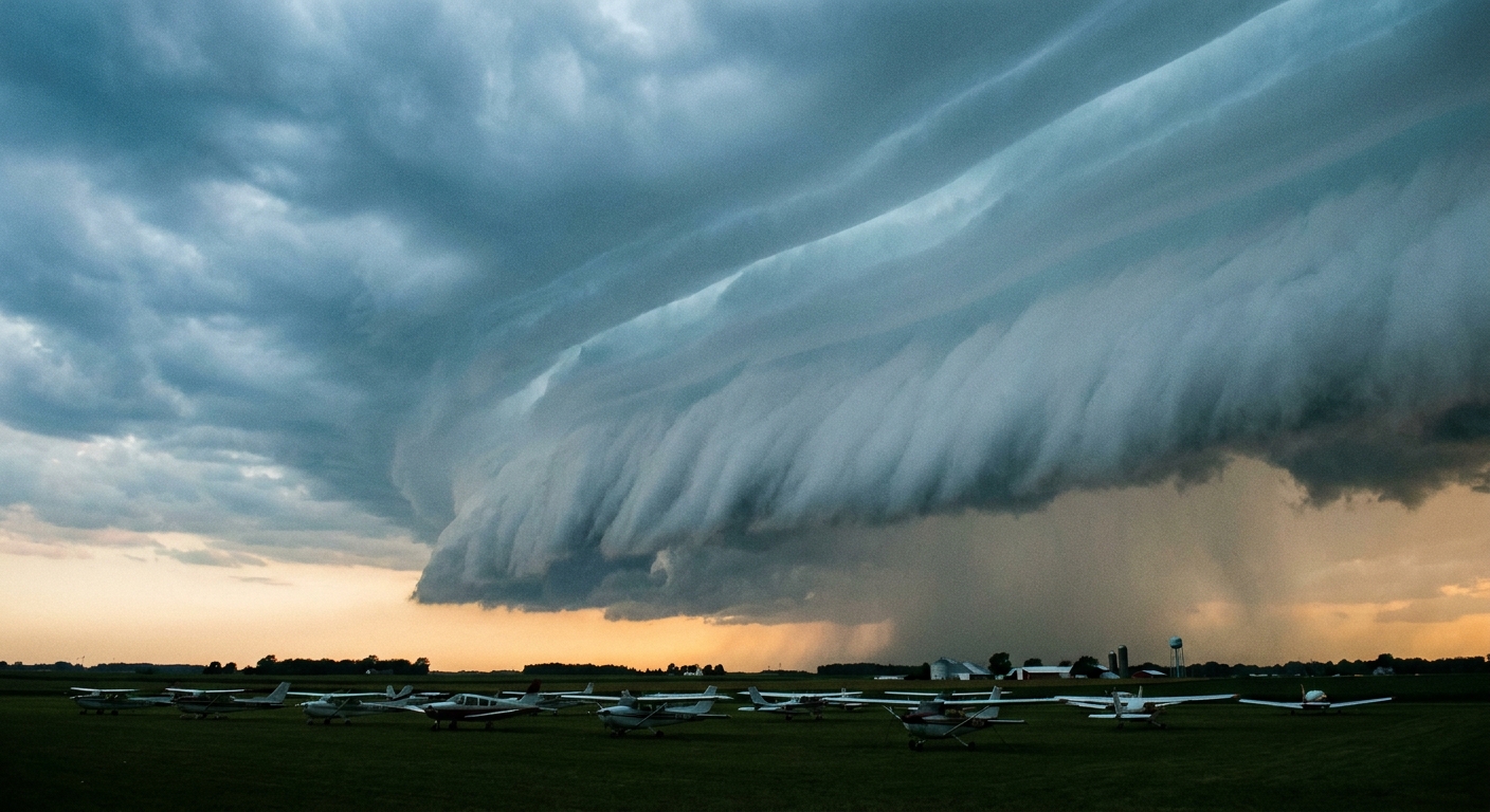
If you're headed to Oshkosh this week, know your shelter plan before the first cell fires up. Camping tents and parked aircraft are not where you want to be when the wind numbers on that outlook start showing up on radar.
Down on the Gulf Coast, TD Two Is Watching Us Back
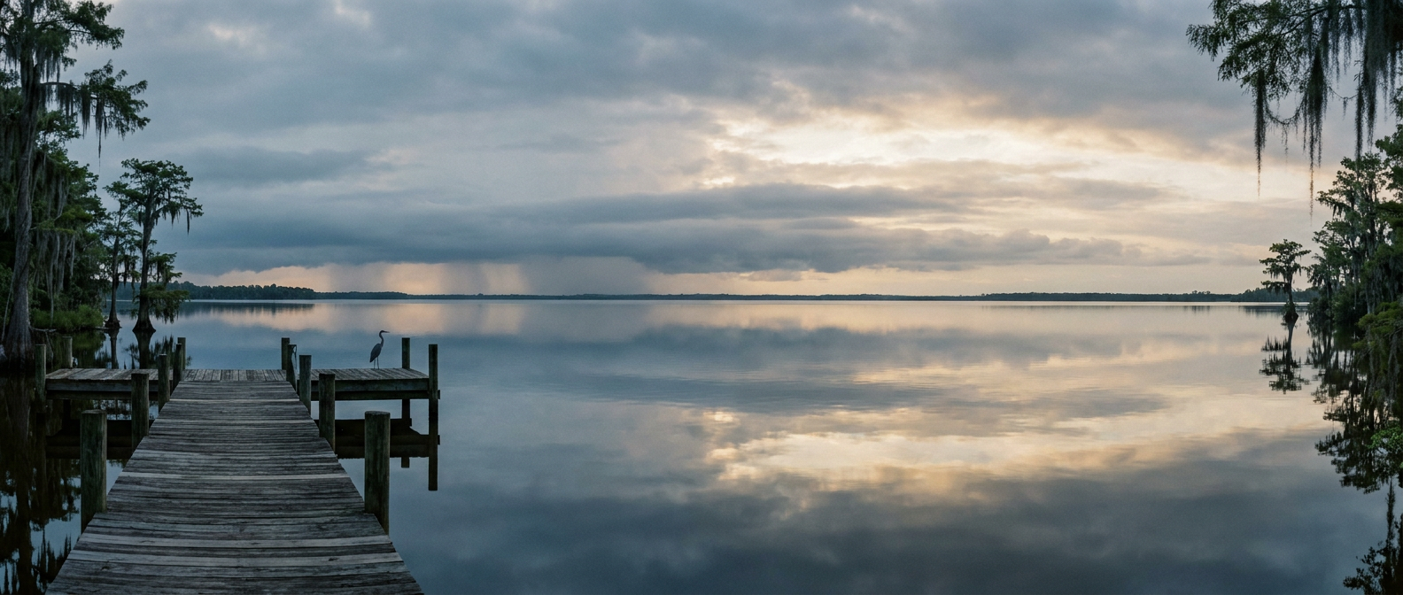
While the Midwest deals with tomorrow's severe threat, the Gulf Coast has its own slow-burn story. Tropical Depression Two is sitting about 190 miles southeast of Panama City, Florida, and it's basically parked there right now, winds around 30 mph. The National Hurricane Center says tropical storm conditions are possible in the Florida Panhandle by late Monday, and the system is expected to strengthen as it drifts toward the central Gulf Coast.
Our experimental impact model has New Orleans, Houma, Morgan City, and Dauphin Island all sitting in a "prepare" tier, with closest approach somewhere around three to four and a half days out, which lines up with a possible approach toward southeast Louisiana by Wednesday. Keep in mind that model is still experimental, so treat it as a heads up, not a forecast set in stone. The bigger, more certain concern echoed in NWS discussions is rainfall. Two to four inches is likely along the central Gulf Coast, with isolated totals up to 8 inches possible where bands train over the same spot. That's a flash flood setup, not a wind event, at least for now.
This is worth watching given how the month has gone. July 2026 has already delivered catastrophic flooding in the Texas Hill Country, Iowa, and southeast Missouri. The ground and the rivers along parts of the Gulf Coast don't need much more water piled on top of what they've already seen.
The Bottom Line
Two massive crowds, two very different nights. The soccer fans in New Jersey get to enjoy a calm sky after Friday night's storms moved out to sea. The aviation fans heading into Oshkosh need to have a plan, because tomorrow's Enhanced Risk zone sits right on top of their opening day. And along the Gulf Coast, Tropical Depression Two isn't dramatic yet, but it's the kind of system you want on your radar this week, not because it's a lock to become a big deal, but because a slow mover with a lot of tropical moisture behind it has a way of dumping rain right where it sits.
Wherever you're watching from tonight, whether that's a packed stadium or your own living room, keep half an eye on what's happening a few states over. This week has three separate weather stories running at once, and they're all worth following.