Blog Article
Austin's ACL Night vs. South Texas Flash Flooding
Why Austin's ACL Fest Nights crowd stays dry while South Texas fights Moderate Risk flooding tonight, plus what a developing Gulf system means for next weekend.
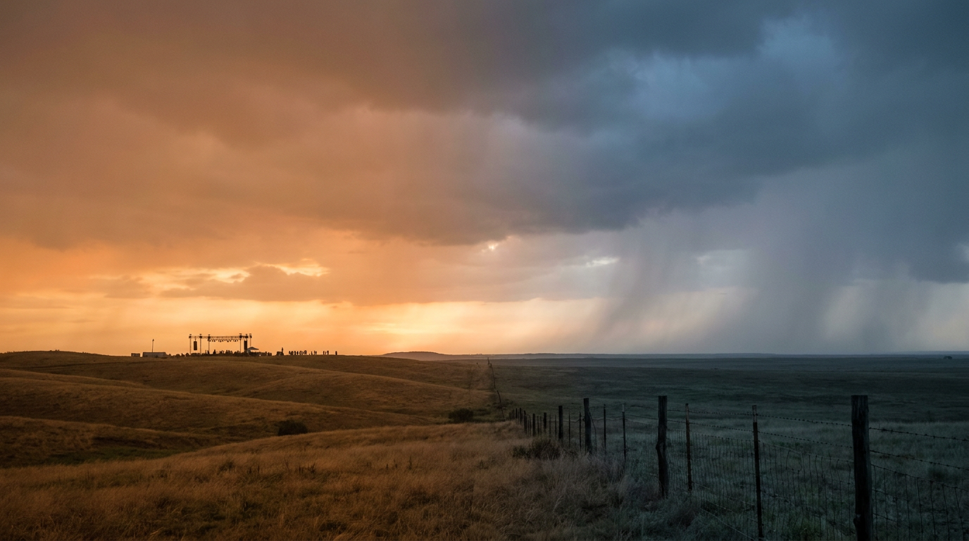
One State, Two Skies: Austin Dances While South Texas Floods
Alright, y'all, let's talk about Texas tonight, because it is living two completely different lives at once.
Up in Austin, Ryan Beatty's playing ACL Fest Nights, and if you're headed down Barton Springs Road tonight, you don't need a poncho. It's a calm, dry evening for the crowd. Meanwhile, about 300 miles south, folks in Brownsville, McAllen, and Harlingen are watching storm drains fill up for the second straight day.
That's not a coincidence of bad luck. That's just how big Texas is, and it's a good excuse to talk about what's actually happening down on the coast.
The Moderate Risk Nobody at ACL Is Talking About
While the Austin crowd enjoys a quiet night, the Weather Prediction Center has the Lower Texas Coast under a Moderate Risk of excessive rainfall, the higher of only two tiers above Slight. That's not a label we throw around. It means forecasters have real confidence that rain rates and storm training (that's when one storm after another rolls over the exact same spot, like cars on a conveyor belt) will outpace what the ground and the drainage systems can handle.
Here's what's already happened: 3 to 6 inches have fallen across the lower Rio Grande Valley, with the heaviest bands sitting right over Kennedy and Willacy counties and sliding toward the population centers in the RGV. More rain is on the way through Monday morning before the risk steps down to Slight for Day 2.
Why here and why now? A deep tap of tropical moisture is running straight into a coastal convergence zone, and the atmosphere just isn't moving it along. When storms stall like that, they don't spread the rain out, they stack it up.
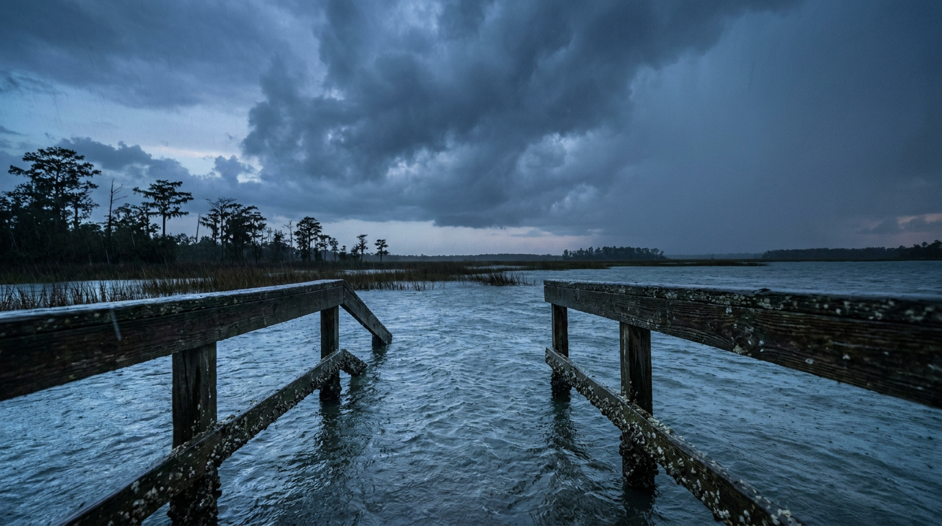
A Gulf System Worth Watching Before Next Weekend
Here's the part that matters if you've got ACL Weekend 2 or the Formula 1 Grand Prix circled on your calendar. The National Hurricane Center is tracking a broad area of low pressure likely to form around the middle of this week over the southwestern Gulf. Right now the formation chance through 48 hours sits near 0 percent, but that climbs to 40 percent by Day 7 as the system is expected to drift northward.
That's not a forecast for a hurricane crashing Austin City Limits. It's a low confidence signal that we're watching, especially with ACL Weekend 2 kicking off October 9 and the F1 Grand Prix following on October 23. The extended nice-weather outlook already flags a quasi-stationary pattern settling over the East and Gulf through Day 6, with warm temperatures and rising cloud cover trimming the best conditions down to small, shifting pockets. Translation: don't be shocked if Weekend 2 feels a little more humid and unsettled than Weekend 1.
Double Trouble in the Pacific, Just for Context
While Texas sorts out its own split personality, the East Pacific is running two hurricanes at once. Hurricane Nolo, a Category 3 with 115 mph winds, is crossing the International Date Line right now, which is actually the reason the National Hurricane Center just issued its last advisory on it. Once a storm crosses that line, it becomes someone else's forecast problem, in this case a future typhoon. Hurricane Rachel, a Category 2 with 104 mph winds, is spinning a few hundred miles off the southern tip of Baja California. Neither storm threatens the US mainland, but it's a reminder that October doesn't mean the tropics go quiet everywhere.
What This Means For Your Week
- If you're in Austin for ACL tonight, enjoy the show. The sky isn't your problem.
- If you're anywhere near Brownsville, McAllen, or the Lower Rio Grande Valley, keep an eye on Flash Flood Warnings through Monday morning and avoid low-water crossings.
- If you've got ACL Weekend 2 or F1 tickets, keep half an eye on that southwestern Gulf system as the week develops. It's not a threat yet, but it's exactly the kind of setup we keep tabs on this time of year.
Texas is one state on the map, but Sunday night it's running two different weather stories at the exact same time. That's the kind of thing that makes forecasting this state equal parts science and humility.
https://ryanhallyall.com/blog/one-state-two-skies-austin-dances-while-south-texas-floods