Blog Article
Moke Hits Hawaii's Saturated Ground After Lala
Tropical Storm Moke threatens flooding on ground already soaked by Hurricane Lala, while a big NFL preseason weekend meets a building Southwest heat ridge.
One Storm Barely Left Hawaii Before the Next One Showed Up
Alright folks, let's start with the story everybody's actually talking about tonight: Hawaii getting hit twice in one breath. "Tropical Storm Moke to cause more flooding as Hawaii recovers from Lala" is sitting right there in the trending news, and it's not an exaggeration. It's basic hydrology playing out in real time.
When the Ground Has Nowhere Left to Put the Water
Here's the timeline. Hurricane Lala tracked south and west of the islands as a major hurricane earlier this month, peaking at Category 4 strength with 130 mph winds, and it left behind a documented 140 mph non-thunderstorm gust at the Mauna Kea summit along with structural damage reports out of Honolulu. That's a lot of rain and a lot of wind stress on hillsides that don't get a break in between systems.
Now Tropical Storm Moke is approaching from the southeast at 40 mph sustained winds, moving west at 15 mph, and closing to within about 4 kilometers of Hawaii Island's south shore. The Honolulu forecast office is calling for 5 to 10 inches of rain on the Big Island, locally up to 15 inches, with 3 to 6 inches for eastern Maui. Under normal conditions that's a heavy soaking. On ground that's already saturated from Lala, it's a mudslide and flash flood setup. That's why HFO's advisory language specifically calls out life-threatening flash flooding and mudslides rather than just heavy rain. The soil simply can't absorb a second event the way it would a first one.
Moke is a modest tropical storm by wind speed. It's dangerous because of what came before it, not because of what it is on its own. That's a pattern worth remembering the next time somebody tells you a storm "doesn't look that bad" on paper.
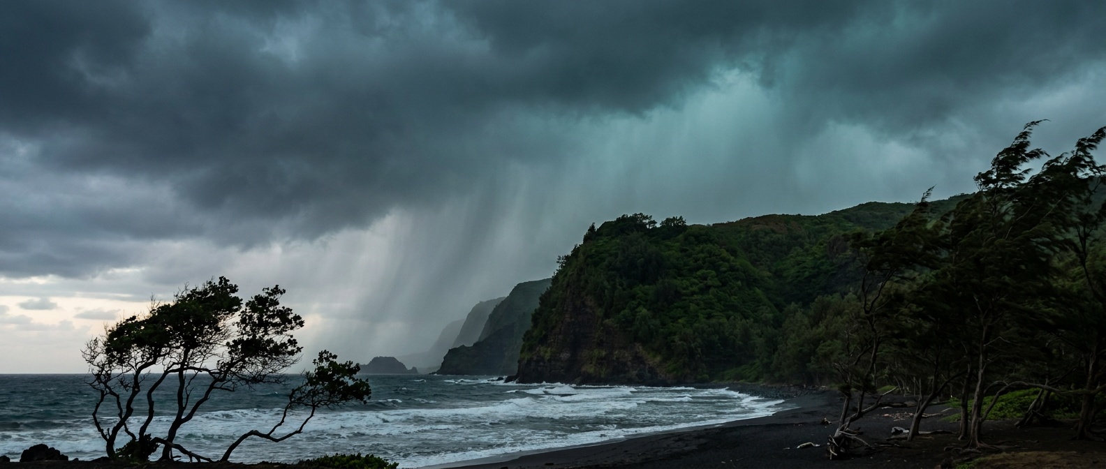
Farther out in the Pacific, Tropical Storm Lala (yes, a second, unrelated storm carrying the same name convention cycle) and Tropical Storm Iselle are both spinning in open water well away from land, and none of the three Atlantic or Pacific invests are showing organized development yet. Hawaii is the only spot with actual boots-on-the-ground impact tonight.
Meanwhile, the Mainland Just Wants to Watch Some Football
Switch gears, because this is also the week everybody's outdoor sports calendar gets loud. The Grand Prix of Washington, D.C. ran today under exactly the kind of air mass you'd draw up if you were designing a race day: dry, post-frontal high pressure sitting over the Ohio Valley and Mid-Atlantic, pushing today's conditions into the BEAUTIFUL tier in our outlook. The U.S. Open kicked off in Queens the same day, and while New York does sit inside today's Marginal severe risk zone (SPC has it at a 5 percent isolated wind and hail threat, nothing dramatic), that's background noise, not a rainout risk.
The bigger story is what's coming. NFL preseason ramps up hard over the next several days: Steelers-Bills in Orchard Park, Commanders-Ravens in Baltimore, Falcons-Dolphins in Miami Gardens, Bucs-Jaguars in Jacksonville, Vikings-Broncos in Denver, and the Rams-Chargers matchup in Inglewood. That's outdoor stadiums in six different states inside of about 36 hours. Right now the SPC's Day 2 outlook (valid Monday) keeps a Slight Risk of severe storms parked over the central High Plains and Lower Mississippi Valley, with Marginal risk stretching into the Gulf and Carolina coasts, so Denver's storm chances stay on our radar as the week goes on. The good news for the coastal game sites, Miami, Jacksonville, Baltimore, is that nothing in the current SPC data points to organized severe weather there specifically for game weekend. Watch the daily updates as we get closer, because Day 4 through 8 outlooks always carry more uncertainty than Day 1 or 2.
The Heat Dome Everyone's Asking About
That trending headline about a "heat dome" bringing a prolonged heat wave to the South is worth a level-headed look, because it's the kind of phrase that gets thrown around loosely. Here's what the actual data in front of us supports: our extended outlook (Days 4 through 7) shows a building ridge of high pressure over the Southwest that keeps heat-stress conditions locked in across the southern Plains and Southwest through the back half of this week, with CPC's 6-to-10 day guidance pointing toward that ridge peaking around Days 6 to 8. That's a real signal. It just hasn't translated into specific city-by-city temperature numbers in what we've got tonight, so treat the "dangerous heat wave" framing as directionally correct and worth watching, not yet a locked-in forecast with hard numbers attached.
For context on what "hot" even means this time of year: Phoenix runs a normal August high of 105°F, Dallas sits at 97°F, and even a place like Denver averages 87°F. If that Southwest ridge builds the way the pattern suggests, we're talking about temperatures pushing well above those already-high norms, not just matching them.
The Takeaway
Hawaii's getting a hard lesson this week in why the second storm in a series is often the one that does the damage, not because it's stronger, but because the ground already gave everything it had to the first one. On the mainland, most of this weekend's outdoor sports slate is running into fair-to-good conditions, with the Southwest heat building in the background as the one trend worth checking back on before you finalize any late-week outdoor plans. Different coast, different storm, same rule: it's never just about how strong the system is. It's about what it's walking into.
https://ryanhallyall.com/blog/one-storm-barely-left-hawaii-before-the-next-one-showed-up