Blog Article
Severe Storms and Critical Fire Danger Split the US
A massive cold front brings severe storms and a 40-degree temp drop to the Ohio Valley while fueling critical fire weather across the Southern Plains.
Opening Day Whiplash and the Growing Plains Fire Threat
Get this, y'all. If you look at what people are searching for online tonight, you will see a pretty wild split. Half the country is trying to figure out if a local "severe thunderstorm watch" is going to ruin their evening plans. The other half is searching for "Nebraska fires" and wondering why the sky looks so hazy out west.
It is all connected to one massive weather system, and it is putting on a show.
Crashing the Opening Day Party
Baseball is back. The Boston Red Sox are playing the Reds in Cincinnati, and the Nationals are taking on the Cubs up in Chicago. Fans who headed to the stadiums this afternoon got a taste of early summer. But that cold front we talked about this morning is currently crashing the party.
The Storm Prediction Center has an Enhanced Risk for severe weather covering parts of Illinois, Indiana, Ohio, and western Pennsylvania tonight. We are tracking the potential for very large hail and damaging winds right as folks are trying to enjoy the games. A few tornadoes are also possible in this zone. If you are out and about in these areas, you need to keep a close eye on the radar.
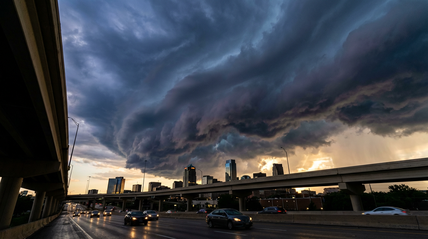
Once that front passes, the bottom falls out. We are tracking a 30 to 40 degree temperature drop behind this system. Chicago averages a high of 47 degrees in late March. By tomorrow, they will be struggling to even reach that mark. Fans are going to need a t-shirt in the third inning and a heavy winter coat by the seventh.
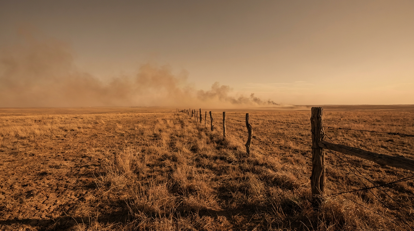
Fanning the Flames Out West
While the Ohio Valley deals with storms, the back side of this system is creating a completely different hazard. That is where those trending fire searches come into play.
The heat in the Southern Plains has been historic. Parts of Texas and New Mexico hit 100 degrees yesterday. Just for some context, the normal high for Dallas this time of year is 69 degrees. We are sitting a full 30 degrees above normal.
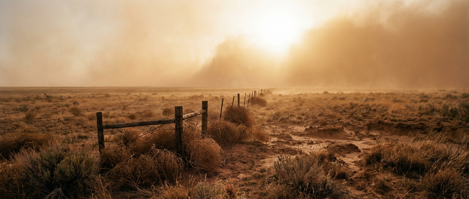
When you combine that kind of heat with humidity dropping below 20 percent and gusty winds behind the front, you get a recipe for extreme fire behavior. The Storm Prediction Center has highlighted a Critical Fire Weather area covering central New Mexico, the Texas and Oklahoma Panhandles, and stretching up into south-central Kansas.
We are looking at 20 to 25 mph sustained winds with much higher gusts. Any spark in these areas can spread rapidly. We are already seeing reports of blowing dust and smoke causing visibility issues for drivers on the interstates.
The Bottom Line
Spring is a season of extremes. We have a classic thermal setup across the country right now. Cold Canadian air is spilling south, violently clashing with the early-season heat. Keep your weather radio handy tonight, especially if you live in the Ohio Valley storm zone or the critically dry High Plains.
https://ryanhallyall.com/blog/opening-day-whiplash-and-the-growing-plains-fire-threat