Blog Article
Midwest Severe Storms & Northern Lights Forecast
Severe thunderstorms threaten the Midwest and Great Lakes during MLB opening week. Plus, a major X1.4 solar flare could bring the Northern Lights to the US.
Baseball is officially back, y'all. The Angels and Cubs are facing off at Wrigley Field tonight. You usually expect to freeze in the bleachers in late March. The normal high in Chicago is a brisk 47 degrees. But tonight, fans are trading winter coats for rain ponchos and radar apps. We have a very active weather setup crashing the opening week party.
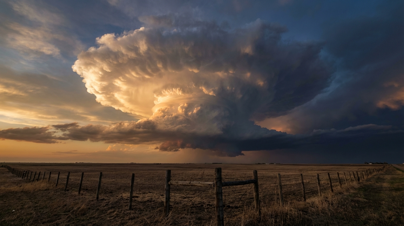
The Late-Night Hail Threat
Here is the thing. A sharp warm front is lifting north and pulling incredibly juicy air into the Midwest. The Storm Prediction Center has a Marginal Risk for severe storms right over Chicago tonight. If you live just north or west in places like Rockford, Madison, or Milwaukee, you are in a Slight Risk.
The main threat with these storms is large hail. They are going to fire up late tonight while a lot of folks are sleeping. Make sure your phone alerts are loud enough to wake you up if a warning is issued for your area.
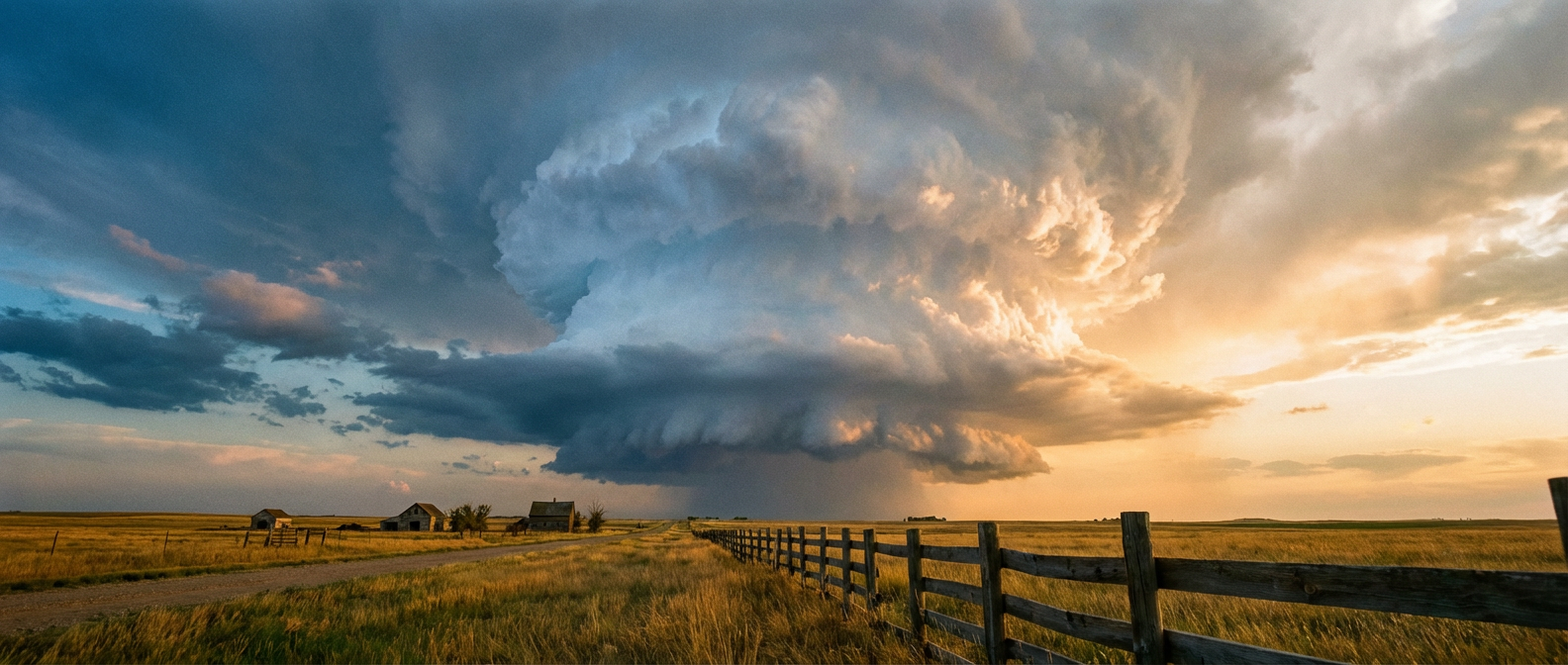
Tuesday's Great Lakes Mess
By Tuesday, this whole messy system shifts east toward the Lower Great Lakes. We are looking at a Slight Risk for severe storms from Detroit right down through Cleveland and over to Buffalo.
Here is what you need to watch for tomorrow:
- Damaging wind gusts and large hail in the strongest storm cells.
- A Slight Risk for excessive rainfall across Southeast Michigan and Western New York.
- Localized flash flooding, especially during the afternoon and evening commutes.
The ground is already saturated in these areas. Adding quick, heavy rain from thunderstorms will cause rapid runoff. If you encounter a flooded road on your way home from work, turn around.
Why Your Timeline is About to Glow
Now, get this. While we are tracking rain on the ground, the internet is about to lose its mind over what is happening in space. The sun just produced a massive X1.4 solar flare. That energy is heading our way right now.
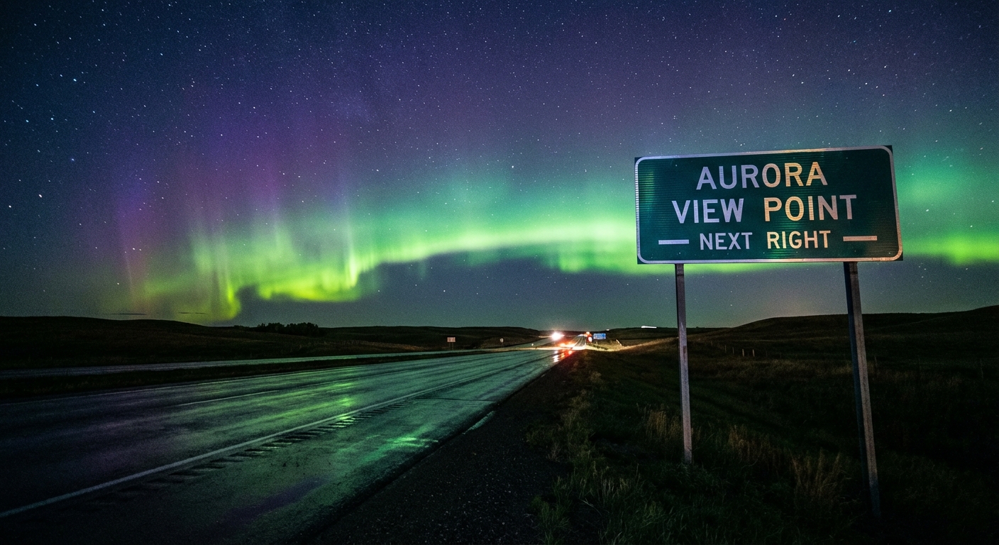
Space weather experts are forecasting a G2 moderate geomagnetic storm. You know what that means. The Northern Lights are going to make a run at the northern tier of the United States. If the clouds clear out behind this storm system, your social media feeds will be flooded with aurora pictures. It is one of those viral moments that actually lives up to the hype.
Keep your weather radio plugged in tonight, and maybe keep your camera ready tomorrow night. We will track it all right here.
https://ryanhallyall.com/blog/opening-week-curveballs-and-a-viral-night-sky