Blog Article
All-Star Game & World Cup Final Face a Stubborn Front
Philadelphia hosts the MLB All-Star Game and the World Cup Final lands in NJ, all as a stubborn cold front drives heavy rain and storms across the region.
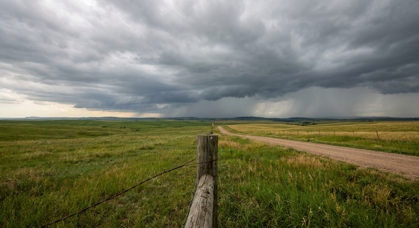
Philly's Big Week: The All-Star Game, the World Cup Final, and a Cold Front That Just Won't Quit
Alright y'all, let's talk about the corner of the country that's about to become the center of the sports universe. In the next ten days, Philadelphia hosts the MLB All-Star Game on July 14. Then, just across the Delaware River in East Rutherford, New Jersey, the FIFA World Cup Final goes off on July 19. France and Spain are already circling in the semifinal odds, and folks are booking flights.
Here's the thing. That same slice of the map, the Mid-Atlantic and the valleys feeding into it, has been the punching bag for water all month long. And the pattern isn't done yet.
The Front That Set Up Shop
Remember Philadelphia earlier this month? On July 6, Frankford Creek rose more than six feet in about 21 minutes. Twenty-one minutes. That's the kind of rise that turns an underpass into a swimming pool before you can find your car keys. The whole first week of July was a story of stationary boundaries parking over the eastern third of the country and just wringing themselves out.
We're in a similar setup right now. A weakening cold front is sliding slowly south, and it's the anchor for the biggest weather story on the board tonight.
Today, the Weather Prediction Center had a Moderate Risk (that's level 3 of 4) for excessive rainfall across the Mid-Mississippi Valley into the central Appalachians. That's the serious tier, the one that means flash flooding is likely, not just possible. Training thunderstorms were dropping 2 to 3 inches an hour over ground that's already soaked.
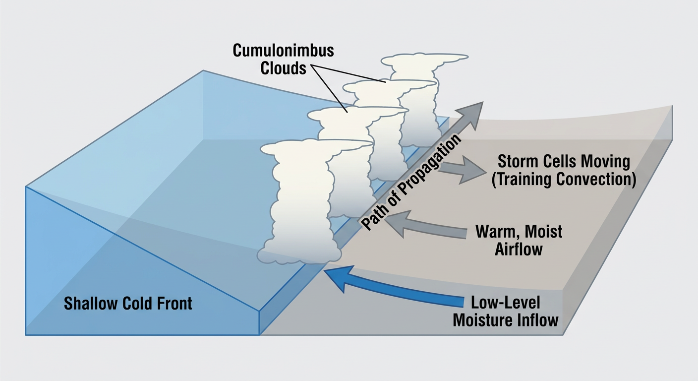
Why "Training" Is the Word to Know
When storms line up and move over the same spot again and again, we call it training. Picture train cars rolling over one section of track. Each car is a thunderstorm. The track doesn't move, so the same neighborhood keeps getting hit. That's how you get a creek rising six feet in the time it takes to microwave leftovers.
That's the mechanism that's been driving the flooding all month, from Kelleys Island, Ohio (12 to 14 inches on July 6) to Polk City, Iowa (13.5 inches on July 4). Same physics, different zip codes.
What It Means For The Big Events
Here's where the timing matters. The heaviest rain risk today and Saturday is centered west of Philadelphia, from the Ozarks into the Tennessee Valley and up toward the central Appalachians. The Storm Prediction Center has a Slight Risk (level 2 of 5) for severe storms Saturday from the Ozark Plateau into the lower Ohio and Tennessee Valleys. The main threat there is damaging wind, not tornadoes. Nashville, Memphis, Little Rock, and Huntsville are in that zone.
For Philadelphia itself and the World Cup site in New Jersey, the front is the wildcard. By Sunday and into next week, this boundary is expected to drop south and weaken, and the northern tier of the Northeast actually cleans up nicely. The nice-weather guidance has upstate New York, New England, and northern Pennsylvania scoring beautiful this weekend under a building Canadian high.
The catch is what happens as that front stalls near the I-95 corridor. Stalled fronts in July are humidity magnets, and airport forecasts already flag afternoon thunderstorm risk at hubs like JFK, Newark, and Nashville over the next couple of days. If you're flying in for the All-Star festivities, build in some cushion. Afternoon and evening storms in July aren't a maybe, they're a rhythm.
Philadelphia's normal July high is 87 degrees with a low around 69. Nothing about this pattern screams record heat for the city, and that's the good news. This is a rain-and-storm story for the Mid-Atlantic, not a dangerous-heat story. That heat is parked way out west.
The Other Half Of The Country
While the East deals with water, the northern Plains and Intermountain West are baking. Widespread highs of 100 to 110 are expected across Montana, the Dakotas, Wyoming, and Idaho as a big ridge builds in. If you know somebody heading to Sturgis in early August or watching the heat creep toward the state fair circuit, that's the region to keep an eye on.
And for the aurora chasers, the space weather folks note geomagnetic conditions running unsettled to active tonight into early Saturday under a high-speed solar wind stream, with a slim chance of a brief G1 minor storm. No big geomagnetic storm is expected, so temper the expectations, but the far northern tier could catch a faint show if skies clear.
The Takeaway
The biggest sports week of the summer is landing in the wettest corner of the country. The good news for Philadelphia and the World Cup Final is that the worst of the rain stays west of the city, and the front should weaken as it slides through. But July in the Mid-Atlantic runs on afternoon storms and stalled boundaries. If your plans involve Citizens Bank Park, MetLife Stadium, or any tailgate in between, keep one eye on the radar and pack a poncho next to your jersey. The weather won't cancel the party. It'll just remind you who's actually in charge of the schedule.