Blog Article
MLB Storm Risk Tonight: DC, NYC Games Face Severe Weather
Tonight's Blue Jays-Nationals and Braves-Mets games fall inside a Slight Risk for severe storms and a Moderate excessive rainfall risk. Here's what fans need to know.
Play Ball, Watch the Sky: Tonight's Ballgames Walk Right Into a Storm Risk
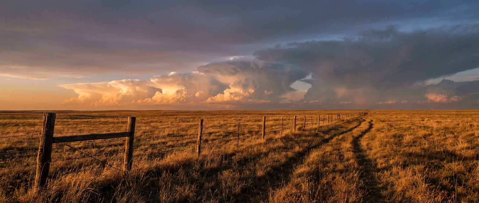
Alright folks, baseball season doesn't care what the atmosphere's up to, and tonight the atmosphere's up to a lot. Blue Jays and Nationals first pitch in DC. Braves and Mets in Queens. Diamondbacks and Pirates in Pittsburgh. Three outdoor parks, all sitting inside or right next to the same stretch of sky the Storm Prediction Center and the Weather Prediction Center have both circled today.
That's not a coincidence of bad luck. It's just where the weather is right now.
The setup: two separate risks stacked on the same real estate
The SPC has a Slight Risk of severe thunderstorms out today running from the Mid-Atlantic into the Carolinas, and that risk area specifically names Washington, DC, Baltimore, Philadelphia, and Raleigh. Inside that zone, the numbers break down like this:
- 30% probability of numerous damaging wind gusts, the highest tier on today's outlook
- 5% probability of a few tornadoes, categorized as a Level 2 threat
- 5% probability of isolated large hail
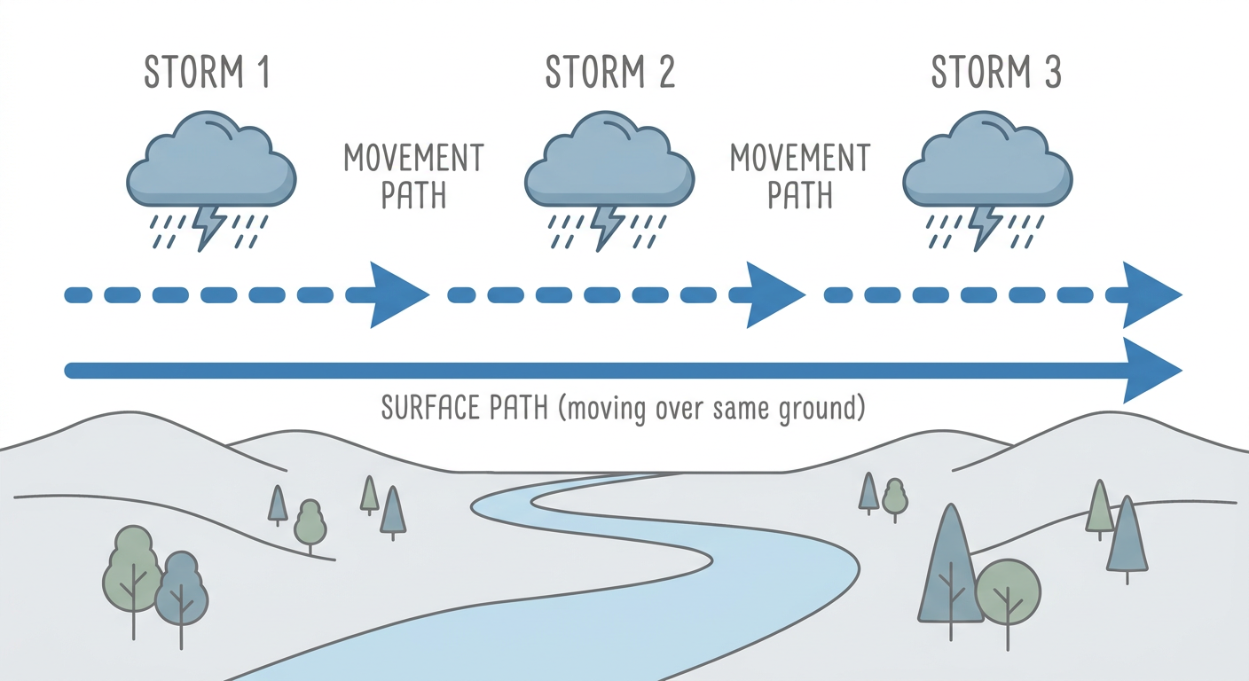
Layer on top of that a WPC Moderate Risk of excessive rainfall for the Northeast, stretching from the DC metro up through Philly, New York City, and into western Massachusetts. That's the higher tier on WPC's four-level scale, and it means forecasters see a real shot at training thunderstorms, the kind that repeat over the same spots instead of moving through, dropping one to three inches of rain and locally more.
So you've got a wind and tornado threat riding through the Mid-Atlantic and a flash flood threat riding through the corridor from DC to Boston, and they overlap right where the Nationals and Mets are scheduled to play tonight.
Why this matters for tonight's first pitches
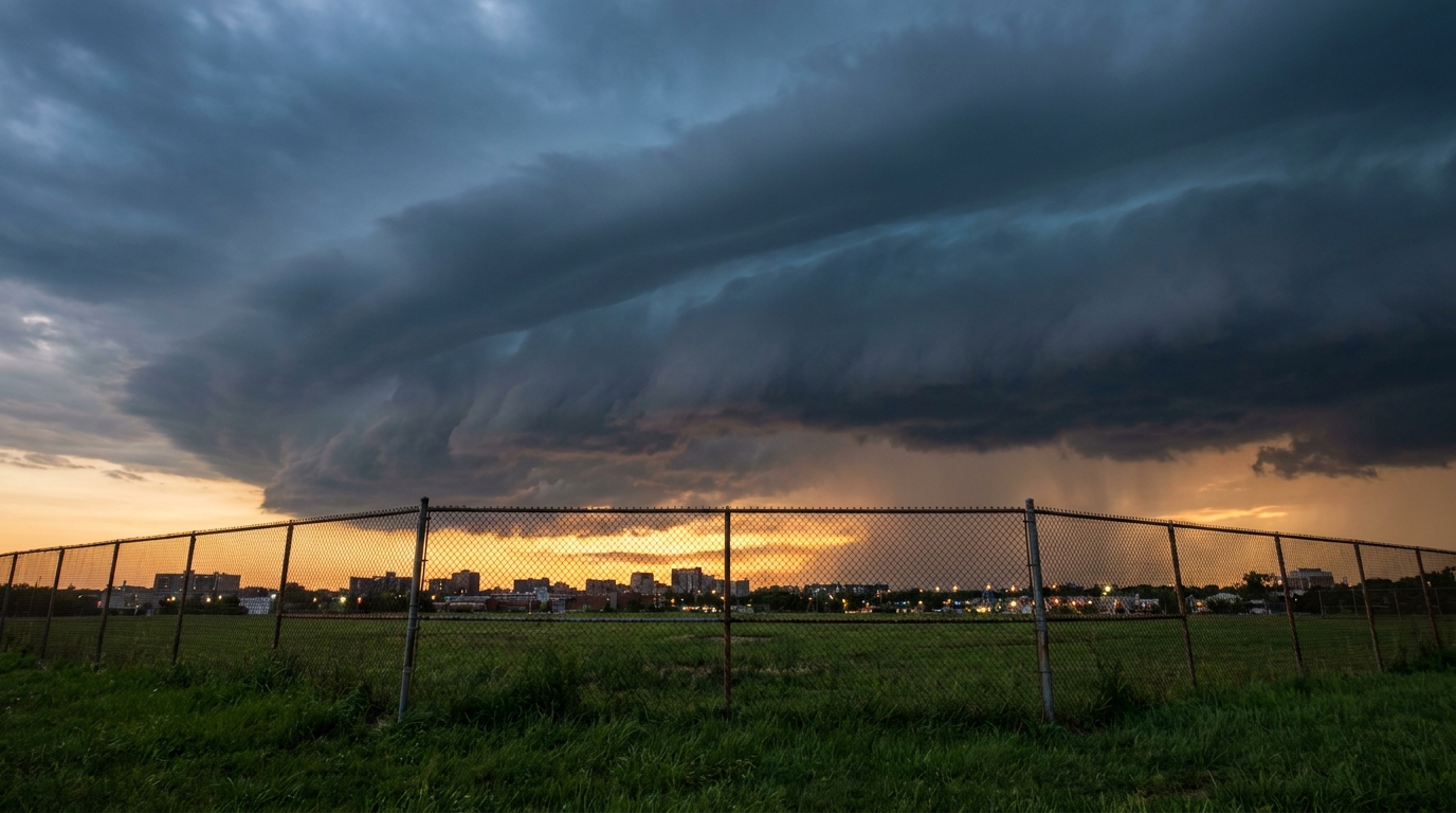
Blue Jays at Nationals starts around 6:45 pm Eastern, which lines up almost exactly with the window SPC expects thunderstorms to be most active across the DC metro this evening. If storms fire on schedule, that's prime time for a rain delay, and if any of those storms turn severe, that's a tarp-on-the-field, fans-to-the-concourse kind of night.
The Mets and Braves in Queens are sitting under that WPC Moderate Risk umbrella too. The bigger worry there isn't a tornado, it's water. Training storms don't need severe wind or hail to cause problems. They just need to sit and dump rain on the same neighborhoods for hours, and that's exactly the setup WPC is watching from Long Island north into Connecticut and western Massachusetts overnight into Wednesday morning's commute.
Pittsburgh's game sits a little further from the core threat, but the Diamondbacks and Pirates are still close enough to the northern edge of today's active weather that a passing shower wouldn't shock anybody.
This is the same pattern that tore through the Midwest yesterday, just further along
If this all sounds familiar, it should. Yesterday's mesoscale convective system rolled through Illinois, Indiana, and Wisconsin with 90 mph radar-indicated gusts, confirmed tornadoes near Orland Park and Glen Ellyn, and left more than 390,000 customers without power. That system kept marching southeast overnight, and what's setting up today across the Mid-Atlantic and Northeast is the next chapter of essentially the same active pattern, not an unrelated event. The atmosphere's been busy all week, and it's not done.
What this means if you've got tickets or you're watching from the couch
- If you're headed to Nationals Park tonight, build in extra time and don't be shocked by a delay call. The window for storms lines up with first pitch.
- Mets fans in Queens should watch for a soggy night more than a scary one. This is a flood risk, not primarily a wind or hail risk, though a stray strong cell can't be ruled out given the broader pattern.
- If severe thunderstorm or tornado warnings pop for your area, get off the concourse roof-level seating and follow stadium staff instructions. That 5% tornado probability is real, even if it's on the lower end of SPC's scale.
- Away from the ballparks, this same Moderate Risk rainfall threat matters for anybody driving I-95 through DC, Philly, or New York overnight. Ponding and localized flash flooding are the headline concern, not wind damage.
No tropical systems are spinning up anywhere right now, which is a nice change of pace after a month that's already given us Tropical Storm Bertha and a Category 5 Hurricane Genevieve out in the Eastern Pacific. But you don't need a named storm to mess with your evening plans. Sometimes it's just a slow-moving front, a stacked-up atmosphere, and bad timing with a nine-inning ballgame.
The takeaway
Baseball's outdoors, and tonight the sky's got its own game plan across DC, Queens, and the wider Mid-Atlantic and Northeast corridor. Check the radar before you head to the park, not just the box score.