Blog Article
Polo Strengthens Off Mexico as Appalachian Flood Risk Grows
Tropical Storm Polo is set to rapidly intensify near Mexico's coast, while WPC upgrades the central Appalachians to a Moderate flash flood risk this week.
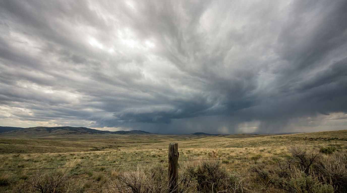
Polo Ramps Up Fast Off Mexico's Pacific Coast While Appalachian Flood Threat Climbs to Moderate
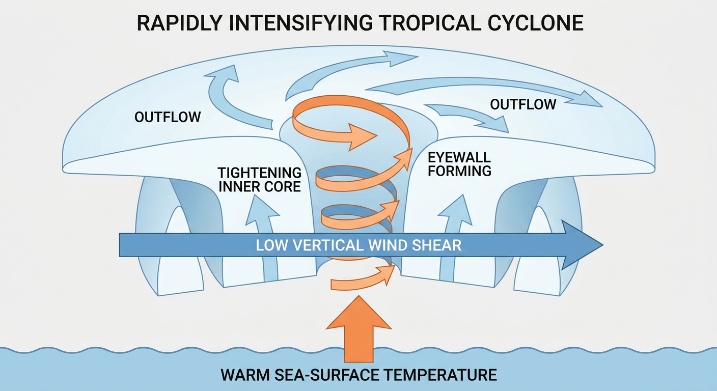
Alright y'all, let's start where the biggest changes are happening: the Eastern Pacific. Tropical Storm Polo is sitting a couple hundred miles south of Manzanillo this morning, and it is not messing around. NHC's discussion says a recent microwave pass shows Polo developing a small core, which is early sign language for "this thing is about to strengthen fast." Shear is expected to stay under 10 knots and the ocean underneath it is plenty warm. That's about as green a light as you get for rapid intensification.
The forecast track has Polo passing within about 100 miles of Manzanillo by Thursday, and NHC's intensity guidance takes it up to 125 mph at that point, which would make it a strong hurricane. A Tropical Storm Watch is already up for a stretch of southwestern Mexico. Our experimental impact model has Zihuatanejo at an "action" threat level, with Lázaro Cárdenas, Acapulco, Manzanillo, and Puerto Vallarta all sitting at "prepare." If you've got friends or family anywhere along that Guerrero-to-Jalisco stretch of coast, now's the time to check in with them.
Polo isn't a direct US threat, but it's not traveling alone. Tropical Storm Odalys is spinning well offshore southwest of Baja, weak and disorganized, no threat to land. Invest 98EP and Invest 99EP are both being watched in the same general neighborhood. And out past Hawaii, NHC's outlook has a disturbance (they're calling it CP-AREA-1) at a 70% chance of development over the next seven days. That one's too far out to say much more than "keep an eye on it," especially for anyone in the islands.
Over in the Atlantic, Tropical Storm Fay is way out in the middle of nowhere, about 400 miles southwest of the Azores, and strong northerly shear is tearing it apart. Fay's a non-issue for the US. Good news there.
Appalachian Flood Threat Just Got Bumped to Moderate
Here's the thing about the Central Appalachians right now. This isn't a fresh setup, it's a continuation. Remember two weeks back when southern Ohio and West Virginia got hammered with 4 to nearly 7 inches of rain, water rescues, road washouts, the whole mess? That ground never fully dried out.
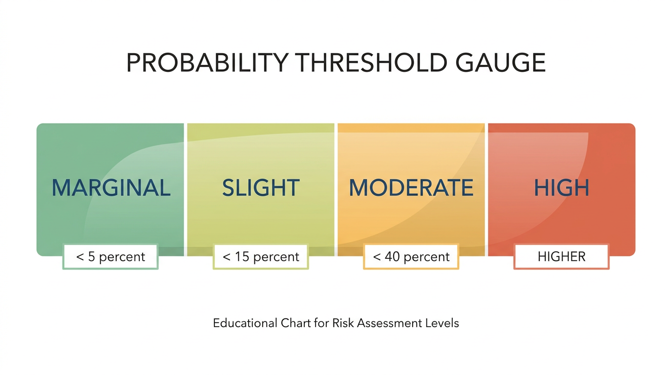
WPC has a Slight risk of excessive rainfall up today across eastern West Virginia and southwestern Virginia, driven by a backdoor cold front and an inverted surface trough interacting with a moderately to highly unstable airmass. But look at Day 2 and Day 3: WPC has upgraded those to a Moderate risk, the second-highest category they issue. Storms overnight tonight may run right into Tuesday morning, and then additional rounds ramp up the flash flood threat further by Tuesday night into Wednesday. WPC's own discussion says "scattered to numerous instances of flash flooding are anticipated, some of which could be locally significant."
Blacksburg and Charleston forecast offices have both flagged this explicitly, noting antecedent soil moisture is already elevated and computer guidance supports another 2 to 5 inches on top of what's already fallen. If you're in that WV/southwestern VA corridor, this is a multi-day event, not a one-and-done storm.
A Second Flood Concern: New Mexico and West Texas
While the East Coast story is Appalachian rain revisiting saturated ground, out west the concern is monsoonal. WPC's outlooks and several forecast office writeups (Albuquerque, El Paso, Midland/Odessa) point to a Slight risk building across New Mexico and West Texas by Wednesday. Deep Gulf and Pacific moisture combined with easterly upslope flow is driving precipitable water values above the 90th percentile for this time of year. That's a setup for 2 to 4 inch rainfall totals, and the concern zones include burn scars, the Rio Grande Valley, and the Sacramento Mountains, places where runoff concentrates fast. If you're out that way, especially near any recent burn scar terrain, keep half an eye on the sky through midweek.
Marginal Severe Risk in the Southeast
Don't forget about the cold front pushing through today either. SPC has a Marginal risk of severe thunderstorms up from parts of the Southeast into the southern and central Appalachians, covering Charlotte, Nashville, Atlanta, Huntsville, and Birmingham. The setup is about 2000 J/kg of instability running into weak wind shear, which mostly means scattered, disorganized storms. Isolated damaging wind gusts are the main threat, nothing widespread. That risk essentially holds over into Tuesday too, shifting slightly toward Atlanta, Birmingham, and Chattanooga.
Where the Nice Weather's At
If you want the best air in the country today, head for Montana, Wyoming, North Dakota, or Idaho. Building high pressure there is delivering light winds, low humidity, and mostly clear skies. Tuesday the sweet spot slides toward the Upper Midwest, northern Great Lakes, and northern New England, where dry Canadian high pressure keeps dewpoints crisp. If your outdoor weekend plans are anywhere in that northern tier, you drew a good ticket.
What We're Watching
- Polo's rate of strengthening and exact track relative to Zihuatanejo, Lázaro Cárdenas, Manzanillo, and Puerto Vallarta
- The Central Appalachian flash flood threat escalating to Moderate risk Tuesday night into Wednesday, on top of already-saturated ground
- Monsoonal flash flood potential building over New Mexico and West Texas by midweek, especially near burn scars and the Rio Grande Valley
- Isolated severe wind gusts in the Southeast today and Tuesday, generally a low-end, scattered risk
- The Central Pacific disturbance east-southeast of Hawaii carrying a 70% development chance over the next week
- A minor G1 geomagnetic storm possible September 25, which could bring aurora into view at high latitudes
Bottom Line
If you've got connections along Mexico's southwestern Pacific coast, particularly Guerrero, Michoacán, Colima, or Jalisco, Polo is worth taking seriously now, not Thursday. Here in the US, the sharpest domestic concern is the central Appalachians, where a Moderate excessive rainfall risk sits on top of ground that's still recovering from real flooding two weeks ago. Have a way to get flash flood warnings if you're in WV or southwestern VA, and don't drive through water you can't see the bottom of. Folks in New Mexico and West Texas should watch the same trend build by midweek. Everybody else, especially north of I-70, is in for a pretty easy stretch.