Blog Article
NFL Preseason Weather: Storms Track Into Game Day
NFL preseason returns with outdoor games in six cities right as a stormy pattern moves east. Here's what tailgaters and fans need to know before kickoff.
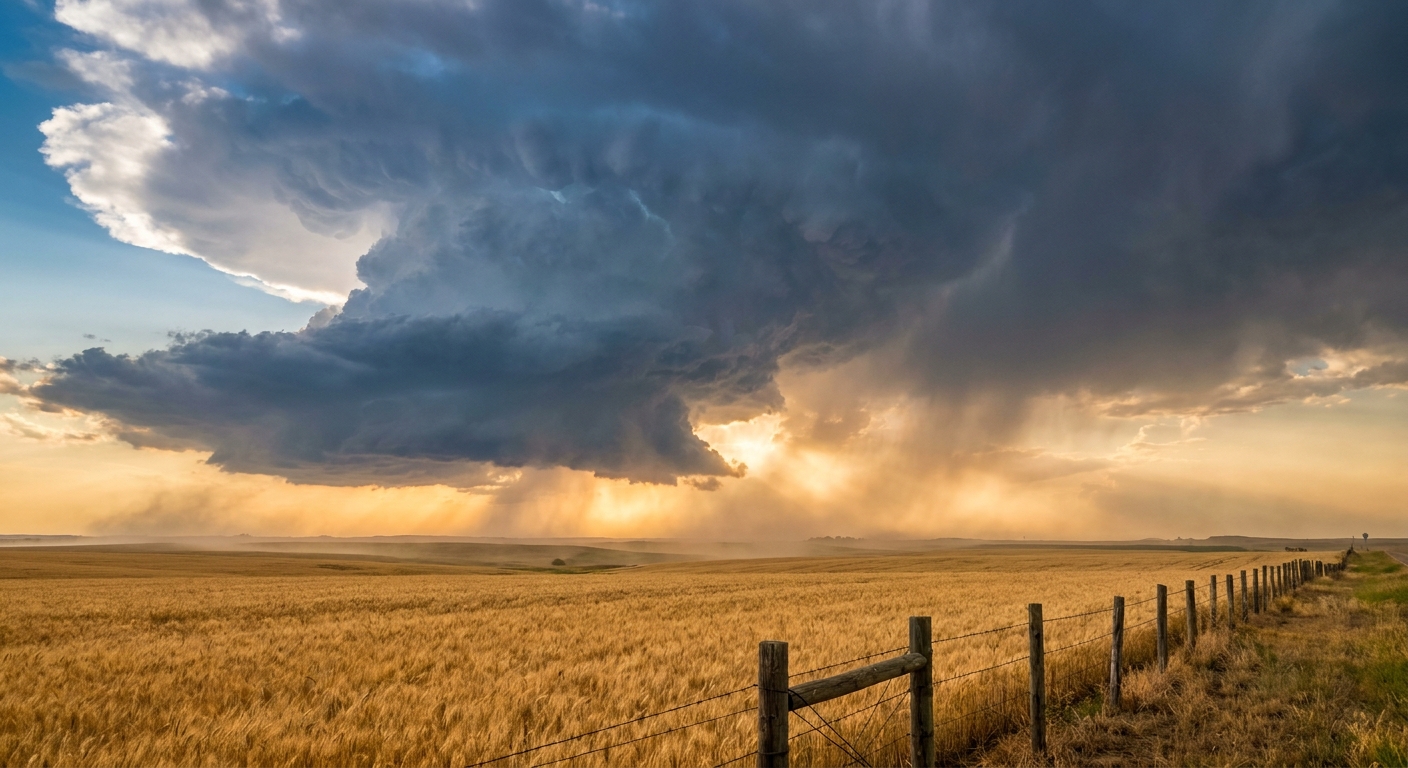
Preseason Football Is Back, and So Is August's Favorite Party Crasher
Alright folks, football's back. Preseason games all weekend, which means grills are fired up, jerseys are out of storage, and half the country's got one eye on the roster battles and the other eye on the sky. Good timing on that second part, because this weekend's slate happens to line up almost perfectly with the same soggy, storm-prone pattern that's been chewing through the middle of the country all week.
Jets at Steelers in Pittsburgh. Panthers at Jaguars in Jacksonville. Packers at Broncos in Denver. Giants at Dolphins in Miami Gardens. Chiefs at Bucs in Tampa. Seahawks at Titans in Nashville. Every single one of those is an open-air stadium. And down in Williamsport, the Little League World Series is still going, kids and families out in the elements from first pitch to last out. That's a lot of folks with tailgate chairs and cooler ice on the line this weekend.
The setup: a front that just won't quit
We've spent this whole week watching mesoscale convective systems roll across the Plains. Ord Airport in Nebraska got hit with a 90 mph gust two nights running. La Crosse, Wisconsin measured 67 mph. The Sangamon River in Illinois climbed to 17.3 feet, within spitting distance of its flood of record. That's the pattern we're in: repeat storms, saturated ground, and a lot of wind.
Now that energy is sliding east, and the Storm Prediction Center has a Slight Risk of severe storms Thursday for the Mid-Atlantic, running from central New Jersey down through Delaware, Maryland, and into the Virginia Tidewater, plus a Marginal Risk stretching south into the Southeast and Tennessee Valley. The Weather Prediction Center has a matching Slight Risk for excessive rainfall along that same I-95 corridor, with localized totals of 3 to 6 inches possible where storms repeat over the same neighborhoods. Friday, that heavy-rain threat slides further south into Virginia and the Carolinas.
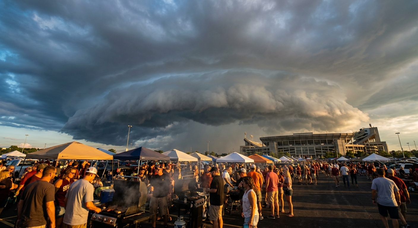
What it means city by city
- Pittsburgh (Jets at Steelers, Friday night): Sits closer to the northern Plains severe corridor than the I-95 action, but this is the same broader storm track that's produced repeated severe weather this week. Watch the radar before kickoff.
- Jacksonville (Panthers at Jaguars, Friday night): Already sitting under a Marginal Risk for storms today, and August afternoon-and-evening pop-up thunderstorms are just part of doing business in North Florida this time of year.
- Denver (Packers at Broncos, Friday night): Also inside today's Marginal Risk zone. Denver's August norm is a high of 87 and a low of 57, so even with storm chances the air itself won't feel oppressive.
- Miami Gardens (Giants at Dolphins, Saturday): Miami's August norm runs a sweltering 91 for a high and 77 for a low. Add typical Florida humidity and any storm cell that fires will feel that much heavier.
- Tampa (Chiefs at Bucs, Saturday night): Same story as Miami, normal high 91, normal low 76. Gulf moisture plus daytime heating is a reliable recipe for evening storms this time of year.
- Nashville (Seahawks at Titans, Sunday night): Nashville's normal high in August sits at 90 with a low of 69. The Day 3-plus outlook keeps the Tennessee Valley in that broader Marginal Risk window, so a stray storm cell isn't out of the question.
None of this means a washout for any single game. It means: check the forecast again Thursday and Friday before you load the cooler, because this pattern has already produced real damage this week, from downed trees in Wisconsin to flash flooding on a burn scar in New Mexico.
Meanwhile, way out in the Pacific
Hurricane Lala is a strong Category 3 with 127 mph winds, sitting a few hundred miles southeast of Lisianski Island and tracking northwest toward the Papahanaumokuakea Marine National Monument. There's no landfall forecast anywhere, and the storm is moving away from the main Hawaiian Islands, which already dealt with Lala's wind and flooding impacts earlier this month. Recon flights have wrapped up on this one. It's a remote-ocean story for now, not a mainland one.
The takeaway
Football's back, and so is the same wet, active pattern that's defined most of August. If your weekend plans involve an open-air stadium, a tailgate lot, or a Little League bleacher seat, build in a weather check between now and kickoff. The line score matters. So does the sky.
https://ryanhallyall.com/blog/preseason-football-is-back-and-so-is-augusts-favorite-party-crasher