Blog Article
NFL Preseason Returns Amid Active US Storm Pattern
NFL preseason football returns to Jacksonville, Denver, Cleveland, Miami, Tampa, and LA as the same storm pattern that flooded the Ohio Valley keeps rolling through the Plains.
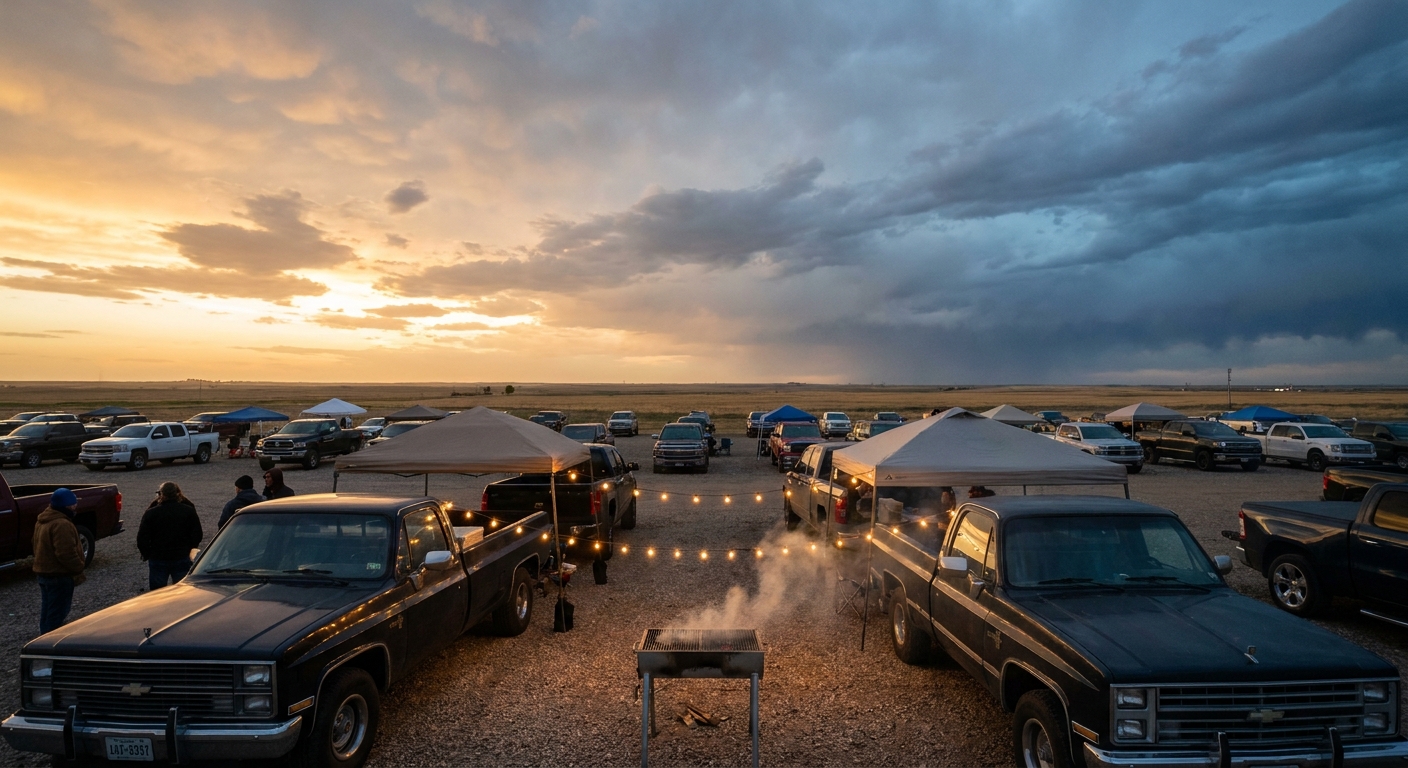
Preseason Football Is Back. Here's What the Sky's Doing in Every City Hosting a Game.
Alright folks, football's officially back on TV, and that means the group chats are already arguing about backup quarterbacks. Good. That's the sign summer's winding down. But before y'all start planning tailgates in Jacksonville, Denver, Cleveland, Miami, Tampa, and Los Angeles this coming weekend, let's talk about what the sky's actually been doing, because it's been a rough stretch out there.
The Ohio Valley Just Got Hammered, and the Pattern Hasn't Left
Here's the thing. Cleveland and Cincinnati, two of your preseason host cities this weekend, sit right in the same general corridor that got absolutely soaked yesterday. We're talking 2.5 to 4 inches of rain in a matter of hours across central and southeastern Ohio and into West Virginia, training thunderstorms that caused mudslides on I-77, swift-water rescues in Clarksburg, and a creek jumping its banks in Fairfield County. That's not ancient history. That's Sunday into Monday.
Today's Storm Prediction Center outlook still has a Slight Risk of severe storms hanging over the southern Appalachians and the Carolina Piedmont, with damaging wind gusts the main concern (up to a 30% chance in the hatched zone, meaning gusts could top 75 mph if storms fire). The Weather Prediction Center has that same general Ohio Valley and Central Appalachian corridor under a Slight Risk for excessive rainfall through Tuesday morning.
Tuesday, the focus slides west into northern Kansas, southeast Nebraska, southwest Iowa, and northwest Missouri, right in Kansas City's backyard, where another Slight Risk covers both severe hail/wind and a separate flooding threat of 2 to 4 inches of rain. Wednesday shifts the target again toward the Ozarks and the Mid-Mississippi Valley. This is the same pattern that's been on repeat for two straight weeks now, with a corridor of mesoscale convective systems rolling across the Plains, Midwest, and Ohio Valley almost daily since August 10.
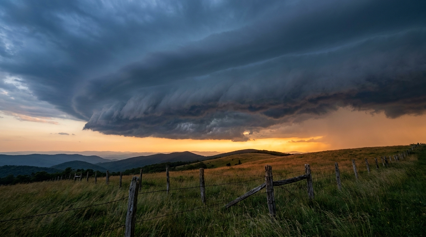
Kickoff Weekend: What the Longer-Range Pattern Says
Game weekend itself (Friday through Sunday) falls in the SPC's Day 4-8 window, which means we don't get a categorical risk map for it yet. But the broader pattern gives some clues. A ridge is expected to build over the Great Plains and Mississippi Valley late this week, which tends to push the best sky conditions toward the edges of the country, first into the northern tier and Great Lakes, then out toward the West Coast and High Plains by the weekend.
That's decent news for the Denver crowd catching Packers-Broncos, since high pressure building over the Plains usually means drier air working into Colorado. Denver's average high this time of year sits at 87°F, so expect a warm, mostly dry evening at altitude, nothing unusual for late August.
The Florida trio (Jaguars-Panthers in Jacksonville, Dolphins-Giants in Miami, Bucs-Chiefs in Tampa) is a different story, but not because of any organized storm system. It's just Florida in August. Afternoon sea-breeze thunderstorms are basically daily business down there this time of year, and Tampa and Miami both average highs near 91°F with lows in the mid-to-upper 70s. If there's lightning delays at any of those three games, it'll be garden-variety Sunshine State pop-up storms, not a named system.
Los Angeles, hosting both the Chargers and the Rams this stretch, stays about as quiet as it gets. LA's August normal high is 85°F, and the marine layer pattern that dominates SoCal summers keeps things mild and mostly dry at kickoff time.
Meanwhile, Out in the Pacific
Tropical Storm Lala is still out there, about 275 miles south-southeast of French Frigate Shoals and continuing to track west at 10 mph with 63 mph sustained winds. It's actually ticked up slightly in intensity overnight, but it's moving away from the main Hawaiian Islands, and there's no landfall forecast. That's a relief after the week Hawaii just had. Lala peaked as a Category 1 hurricane on the 15th, with gusts to 140 mph measured at the Mauna Kea Summit and widespread tree damage across Maui and the Big Island, followed by a flash flood emergency in the Kau District where two homes were reportedly swept away in Naalehu. The islands are still cleaning up. Lala just isn't the threat anymore.
Two more disturbances are being watched in the eastern and central Pacific, one south of Mexico with a 70% chance of development by day 7, but neither has any bearing on the mainland right now.
The Takeaway
Football's back, and so is the same stubborn storm track that's been soaking the Midwest and Ohio Valley for two weeks straight. If your team's playing in Cleveland or Cincinnati this weekend, keep an eye on the forecast as it firms up closer to kickoff. If you're headed to Denver or LA, pack light. And if you're in Florida, just assume there'll be a thunderstorm cell somewhere on the horizon, because there almost always is in August.