Blog Article
NFL Preseason Returns to a Storm-Weary Ohio Valley
Preseason football kicks off in Cincinnati, Pittsburgh, and Chicago right as the Ohio Valley faces Enhanced Risk storms and Moderate flash flood danger this week.

Preseason Football Is Back, Landing Right in the Middle of the Ohio Valley's Wettest Week
Alright folks, football's back. Preseason, sure, but y'all know how it goes. Once those lights come on at an NFL stadium, everybody perks up a little. This week alone we've got the Lions and Bengals in Cincinnati, the Packers and Steelers in Pittsburgh, the Browns and Bears in Chicago, the Rams and Chiefs in Kansas City, and the Eagles and Ravens in Baltimore. Look at that list again. Cincinnati. Pittsburgh. Chicago. Kansas City. Baltimore. Every single one of those cities has spent the last several days sitting inside the same stretch of unsettled weather that's been grinding across the Ohio Valley and Mid-Atlantic since Sunday.
That's not a coincidence worth panicking over. It's just a really good excuse to talk about what's actually going on up there, because it's been a rough week for a big chunk of the country.
This Week Already Left a Mark
Sunday, August 10, was a legitimately significant severe weather day. A mesoscale convective system rolled out of Illinois and Wisconsin, an EF-1 tornado touched down and looped for about five miles north of Streator, Illinois, and by the time that system reached the Mid-Atlantic that evening, Prince George's County, Maryland, had a destructive-tagged Severe Thunderstorm Warning for 80 mph gusts. Out west the same day, Goodyear, Arizona, measured an 84 mph gust, and western South Dakota picked up hail up to 2.75 inches. Power outages hit Ohio, Virginia, and Maryland. Water rescues happened in Allegheny County, Pennsylvania. That's the kind of day that sticks in a region's memory for a while.
And tonight, the same general corridor is still active.
Tonight's Enhanced Risk, Explained Plain
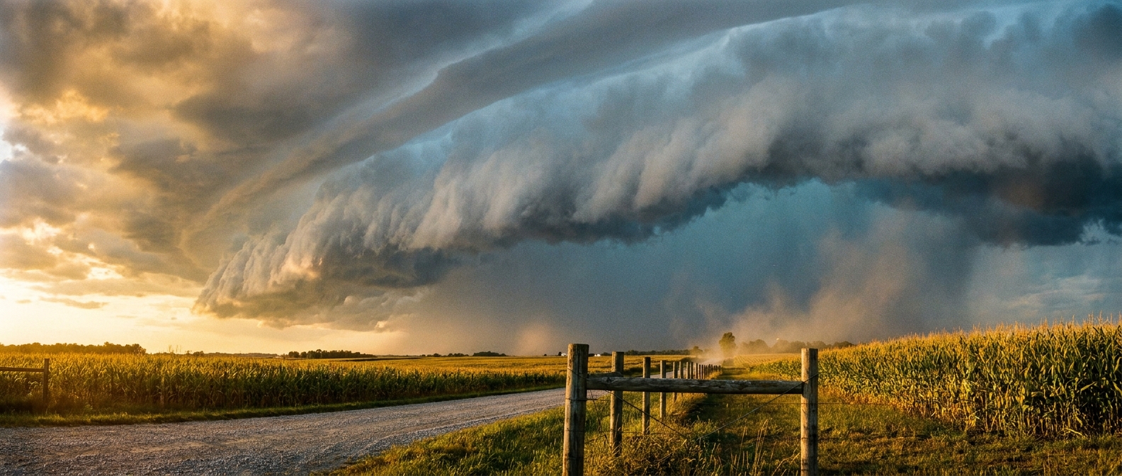
The Storm Prediction Center has an Enhanced Risk up right now for parts of the middle Ohio Valley, and Cincinnati is sitting right inside it, along with Lexington, Dayton, Huntington, and Greensburg. About 5.3 million people are in that zone. The setup is pretty straightforward: this is a wind event first. SPC has the odds of 60+ mph damaging gusts at 30 percent in the hottest part of that zone, and there's a hatched area inside it where gusts could reach 75 mph or better if the strongest cells fire. That's derecho-strength wind, though nobody's forecasting a repeat of the August 2020 derecho. It's just the kind of number that tells you these storms mean business if they get going.
On top of the wind threat, the Weather Prediction Center has a Moderate Risk of excessive rainfall over that same Ohio Valley stretch through Wednesday morning. Flash Flood Guidance from the Ohio River Forecast Center is down to a quarter inch in spots, which means it doesn't take much rain falling fast to cause problems. Ground that's already saturated from this week's earlier storms doesn't have anywhere to put more water.
By Thursday, the Threat Shifts, But the Ground Doesn't Forget
Here's the part that matters for game week. Wednesday's outlook, the Day 2 forecast, still has a Slight Risk sitting over central Illinois into the lower Ohio Valley, and that zone actually includes Springfield, Illinois, right as the Illinois State Fair prepares to open its gates Thursday. By Thursday itself, the Day 3 outlook backs off to a Marginal Risk centered more toward Indianapolis, Louisville, Kansas City, and the Front Range, with Cincinnati and Pittsburgh not currently listed in that zone. That's the good news for Thursday night's Bengals and Steelers games. The organized severe threat is trending down and sliding west toward the High Plains, according to the AI-assisted synthesis of Wednesday's setup.
But trending down isn't the same as gone. The broader AI outlook still flags continued flash flood risk across the Ohio Valley, Tennessee Valley, Iowa, eastern Nebraska, and the Corn Belt into midweek, plus a fresh severe threat building over the Black Hills, South Dakota, Nebraska, and the Missouri Valley. If you've got tickets to a preseason game in that stretch this week, or you're headed to the Illinois or Iowa State Fair when gates open Thursday, keep an eye on the sky and check the forecast again closer to kickoff. Preseason football doesn't get delayed for weather often, but soggy tailgate lots and slow concourse lines sure do happen.
Meanwhile, Out West and Out at Sea
While the Ohio Valley's been dealing with round after round of storms, the Pacific Northwest has had it about as good as weather gets. Wednesday's forecast puts the northern Rockies and Intermountain West at a BEAUTIFUL 88.3 on the nice-weather scale, just a hair off perfect, with Portland, Oregon individually scoring a 92. Different world, same country, same week.
And out over the Atlantic, the National Hurricane Center is watching a tropical wave about 550 miles southwest of the Cabo Verde Islands that now carries a 70 percent chance of development within seven days. It's early, it's far offshore, and there's no reason to build any plans around it yet, but it's the first real tropical signal of what's shaping up to be an active stretch for the basin heading into the back half of August.
The Takeaway
Football's back, fair season's ramping up, and the Ohio Valley just can't seem to catch a dry break. If your week involves a stadium gate, a fairground ticket, or a tailgate lot anywhere from Cincinnati to Springfield, build in a weather check before you walk out the door. The severe threat is easing as the week goes on, but soaked ground and slow-moving storm cells don't care what's on the schedule.