Blog Article
NFL Preseason Weekend Weather: What Fans Should Know
Eight outdoor NFL preseason games this weekend fall inside an active severe weather pattern. Here's the city-by-city breakdown of storm and rain risk.
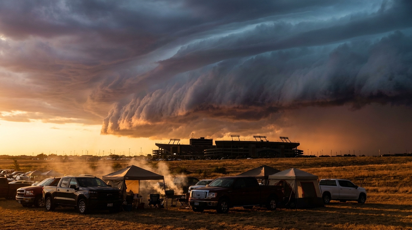
Preseason Football's Final Weekend Meets an Active August Sky
Alright folks, here's the thing. This is it, the last weekend of NFL preseason. Eight outdoor games between Thursday and Sunday, stadiums from Buffalo to Miami to Denver getting their parking lots full one more time before the real thing starts. Tailgate season is basically here.
But get this. The same weather pattern that's been keeping the Storm Prediction Center busy all week isn't done yet. It's not going anywhere just because there's a preseason slate to play.
The Same Front That's Been Busy All Week
We've had an Enhanced Risk for severe storms over the Texas Panhandle today, and that's just the loudest part of a pattern that's been rolling across the middle of the country for days now. Wednesday, SPC has a Slight Risk stretched from the central High Plains through Indianapolis, Detroit, and Memphis, with Denver and Colorado Springs right in that same zone. Thursday, the risk area slides east. Philadelphia, Baltimore, New York, and Newark all sit under a Marginal Risk, while Scranton, Utica, Binghamton, and Williamsport, Pennsylvania draw the Slight Risk category.
Williamsport. Yeah, that Williamsport. The Little League World Series is still going on there, and families in those stands should keep half an eye on the sky Thursday. Nothing dramatic is locked in, just the kind of gusty, hail-capable storms that show up when a front finally gets moving through humid August air.
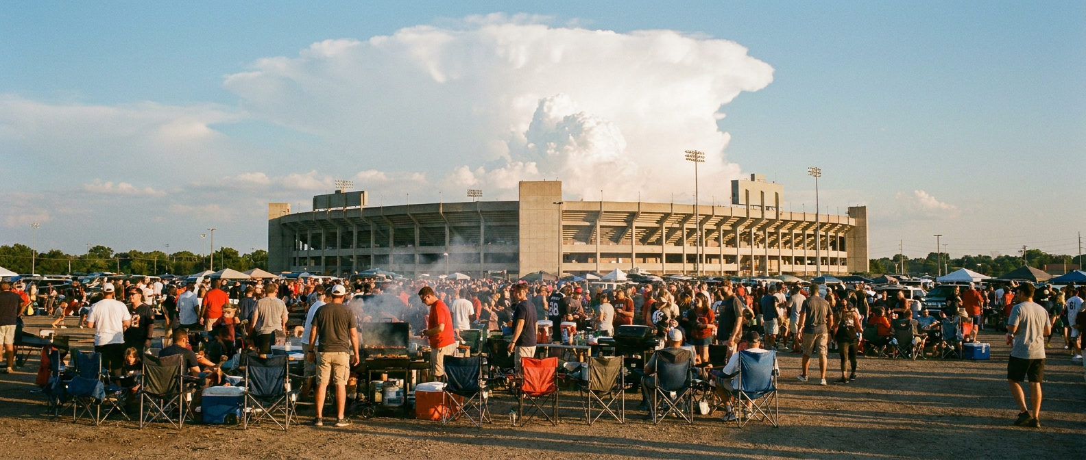
What It Means for the Weekend Slate
Here's a quick read on the outdoor games:
- Vikings at Broncos, Denver - Wednesday's Slight Risk already had Denver and Colorado Springs in it. By kickoff Friday night the front will have moved on, but the broader unsettled pattern over the High Plains isn't fully finished.
- Bengals at Eagles, Philadelphia and Commanders at Ravens, Baltimore - Both cities sit in Thursday's Marginal Risk. The storms tied to that risk mostly clear by Friday morning, but a slow-moving system like this can leave some leftover instability hanging around into the evening.
- Steelers at Bills, Buffalo - Western New York rides the edge of that same Northeast risk area Thursday evening kickoff.
- Giants at Jets, East Rutherford - Same setup, same general Northeast pattern working through.
- Dolphins at Falcons, Miami and Jaguars at Buccaneers, Jacksonville - This one's simpler. It's Florida in late August. WPC already has a Slight Risk for excessive rainfall along the First Coast, and the airport forecast discussion flags scattered afternoon and evening thunderstorms hanging around the Southeast right through the weekend. Sea breeze storms, basically, just on a schedule that happens to include football.
None of this is Enhanced Risk territory. We're talking Marginal and Slight categories, the kind that mean scattered strong to severe storms are possible, not a lock. But if you're heading to any of these games, it's worth pulling up a radar app before first pitch, kickoff, whatever you want to call it.
A Month That Hasn't Taken a Night Off
Context matters here. August 2026 has been relentless. We watched 8.74 inches of rain fall near Rugby, North Dakota on Sunday, flooding streets and basements. We had a 111 mph wind gust near Newell, South Dakota back on the 11th. Hurricane Lala clipped past Hawaii with a 140 mph gust recorded at the Mauna Kea Summit. Knott County, Kentucky had a flash flood emergency. This weekend's Marginal and Slight risk areas are honestly on the calmer end of what this month has produced.
Tropics: Not Our Problem This Time
Three systems are spinning out in the Pacific right now, Tropical Storm Iselle, Tropical Storm Lala, and the dissipating remnants of Julio. All three are weakening, all three are hundreds of miles from land, and none of them have a landfall forecast. There's also a couple of Atlantic invests worth watching over the coming days, but nothing organized enough yet to change anyone's weekend plans.
One more thing for the night owls. NOAA's space weather folks say there's a slight chance of G1 geomagnetic storming late Wednesday into Thursday as a solar wind stream arrives. If you're up in the northern tier and the sky's clear, it might be worth a glance north.
The Real Talk for Tailgaters
Most of preseason weekend's outdoor games will be just fine. This is a Marginal-to-Slight kind of setup, not an Enhanced one. But August has taught us all month that these systems can still throw a fast-moving cell with damaging wind or hail into an afternoon that looked calm an hour before. Check the radar before you park the truck. If the sky starts doing something you don't like, head for the concourse. The football will still be there when the cell passes.
Eight stadiums, one busy sky. That's late August for you.
https://ryanhallyall.com/blog/preseason-footballs-final-weekend-meets-an-active-august-sky