Blog Article
Hurricane Rachel Strengthens as Southern Plains Face Flood Risk
Hurricane Rachel nears major hurricane strength off Mexico while the Southern Plains face a Moderate flood risk and slight severe storm chances today.
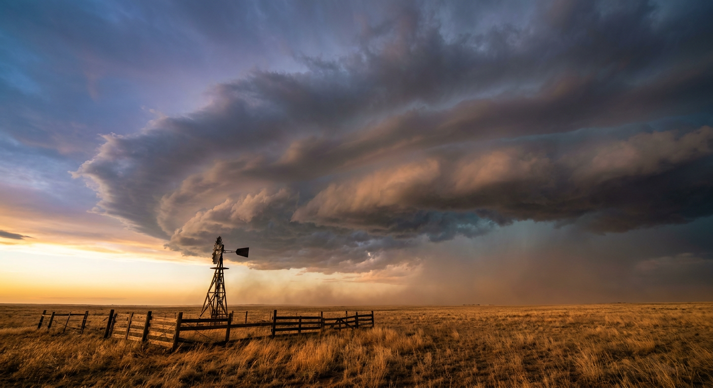
Rachel Eyes Major Hurricane Status While the Southern Plains Face Another Round of Flooding
Alright y'all, we've got a lot of moving pieces this morning, so let's get right into it.
Tropical Tracker: Rachel Closes In On Major Hurricane Strength
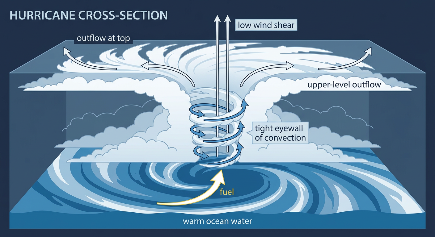
Hurricane Rachel spun up into a Category 1 overnight off Mexico's Pacific coast, and the National Hurricane Center says she could become a major hurricane in a day or so. A Hurricane Hunter aircraft measured 84-knot winds at flight level early this morning, and the storm is showing better banding as shear relaxes. Current winds sit at 86 mph with a central pressure of 979 mb, moving northwest at 10 mph.
The closest brush with land looks to come near Puerto Vallarta later today, where our impact model has that city in a "prepare" tier with landfall-adjacent conditions possible within hours. Cabo San Lucas and San Jose del Cabo are also in that "prepare" category as Rachel's forecast track angles toward the southern Baja peninsula over the next two to three days, with modeled intensity around 97 mph at closest approach. This storm has no direct US mainland threat, but if you've got friends or family in Jalisco, Colima, or Baja California Sur, now's the time to have a plan.
Meanwhile, Tropical Storm Nolo is on its way out as a serious threat to Hawaii. The storm is rapidly weakening under strong southwesterly shear, with the low-level center now fully exposed on satellite. Kauai and Niihau remain in an "aware" tier mainly for dangerous surf and rip currents from outer bands, with 3 to 6 inches of rain possible. This is a big step down from what Hurricane Lowell did to the same islands back on September 7 and 8, when we saw measured gusts to 85 mph and real storm surge damage in Poipu.
Out in the open Atlantic, Tropical Storm Hanna is a weak, sheared system expected to become a remnant low by tonight. No land impacts there. And the remnants of former Tropical Storm Polo, which dissipated over northwestern Mexico, are the moisture source behind our next big story.
The Flood Threat Continues: Moderate Risk From the Southern Plains to the Rockies
Here's the thing about this pattern: it's been a flood-heavy September from the start, and today is no exception. The Weather Prediction Center has a Moderate Risk of excessive rainfall today across portions of the central and southern Plains and into the Corn Belt. That's WPC's second-highest tier, and it means widespread heavy rain with a real threat of flash, urban, and small-stream flooding.
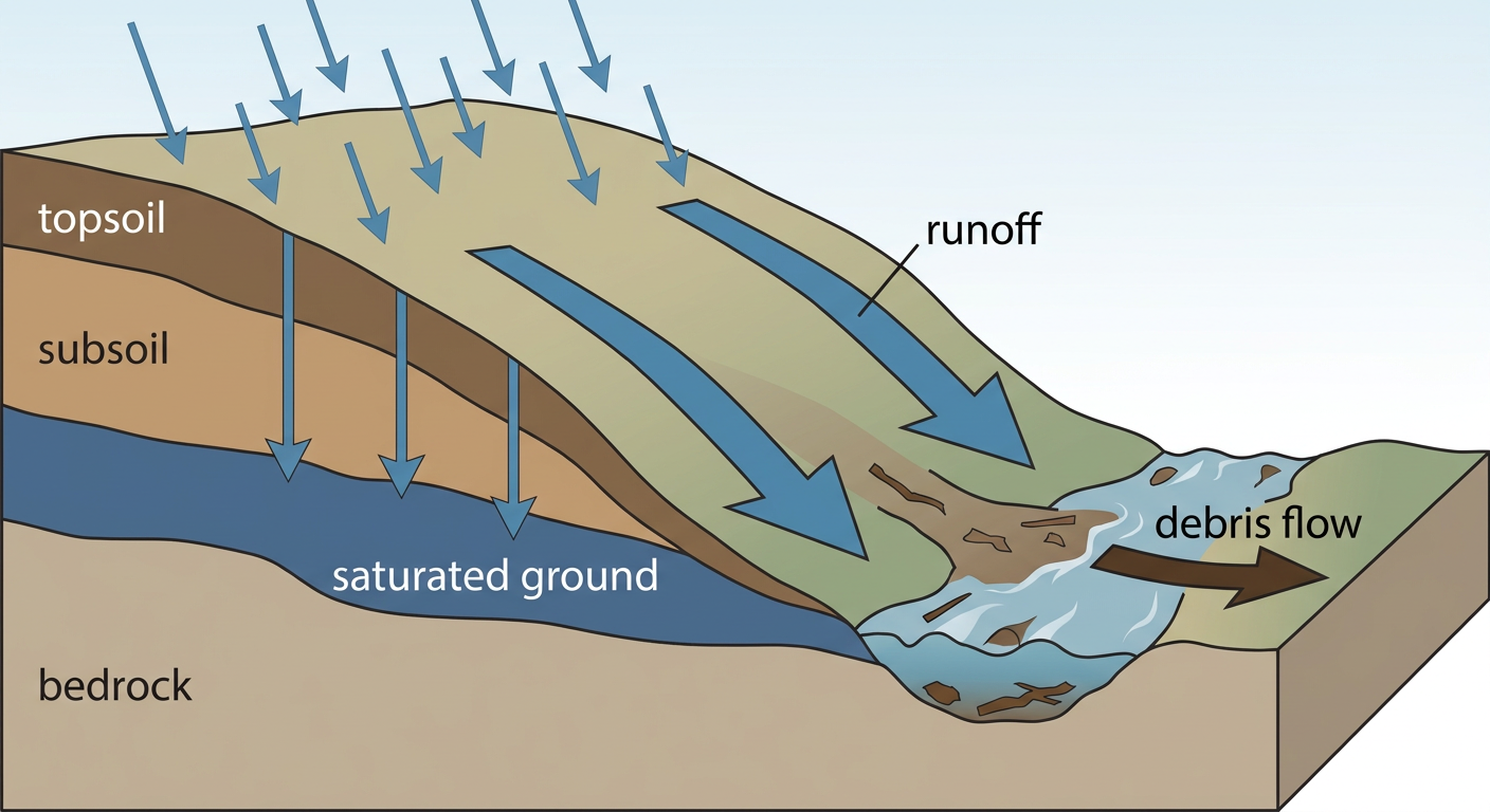
The setup: moisture tied to Polo's remnants is streaming into a broad warm sector ahead of a cold front working through Oklahoma and West Texas. Local forecasters in El Paso, Albuquerque, and Tucson have flagged this as a debris-flow and burn-scar concern too, especially in the Sangre de Cristo and Gila National Forests and along the Tucson-to-border corridor, where HREF guidance shows a better than 70 percent chance of 2 inches of rain in six hours.
Thursday brings another Moderate Risk day for south-central Texas and eastern Oklahoma, with 2 to 4 inches of additional rain possible on already-saturated ground along the I-35 corridor and Texas Hill Country. That's worth watching if you're headed to Austin City Limits Weekend One starting Friday. The rain axis should slide south of Austin some by then, but soggy ground and lingering showers can't be ruled out for early arrivals.
By Friday and Saturday, the excessive rainfall risk eases back to Slight and shifts toward far south Texas, which is a step in the right direction. And if you're headed to the Albuquerque Balloon Fiesta this weekend, there's good news: our nice-weather outlook has the Albuquerque and Four Corners area landing in the BEAUTIFUL tier by Friday behind drying, clearing high pressure. That's a solid turnaround from Wednesday's moderate flood risk in the same region.
Severe Weather: Slight Risk From Abilene to Lawton
On top of the flooding, SPC has a Slight Risk of severe thunderstorms today from southwest Oklahoma and northwest Texas into the Edwards Plateau. Abilene, Wichita Falls, San Angelo, Lawton, and Altus sit inside that zone. A mid-level low working across the southern Plains, combined with a dryline, should support storms capable of damaging wind gusts and maybe a brief tornado this afternoon into tonight. SPC's numbers put damaging wind at 15 percent (their Level 2, "scattered" tier) and tornado potential at just 2 percent, isolated. Hail isn't a big emphasis today.
A broader Marginal Risk stretches from Fort Worth up through Oklahoma City into Kansas, so folks heading to the State Fair of Texas in Dallas should keep half an eye on the sky this evening, though the more organized threat sits west of the metro.
Thursday, that severe threat shifts into a Marginal Risk covering much of the same corridor, with the flooding staying the headline story instead.
What Else We're Watching
- Invest 91EP, way out in the East Pacific, has just a 30 percent chance of development over the next week. Not a near-term concern.
- Tropical Depression Nineteen-E is far offshore and moving away from Mexico, posing no real threat.
- Space weather stays quiet through Thursday. SWPC does flag a possible G1 (Minor) geomagnetic storm around October 2, driven by a CME that left the sun on September 28, plus another watch item for October 22. Nothing here affects your day-to-day weather.
Bottom Line
Rachel is the name to watch in the tropics, and she's on track to become a major hurricane, though her impacts stay offshore of Mexico's Pacific coast for now with no US mainland threat. Closer to home, the bigger everyday concern is the Moderate Risk of excessive rainfall spanning the southern Plains, New Mexico, and Arizona today and Thursday. If you live along the I-35 corridor, in the Texas Hill Country, or anywhere near the Sangre de Cristo or Gila burn scars, have a way to get flash flood alerts and avoid driving through flooded roadways. West Texas and southwest Oklahoma also need to watch the sky this afternoon for a slight risk of severe storms, mainly damaging wind. Festival-goers headed to Austin or the Balloon Fiesta in Albuquerque should check the forecast again Thursday, since conditions are trending toward improvement by the weekend in New Mexico while Texas stays unsettled a bit longer.