Blog Article
Flood Risk Shifts East Then Back to Midwest This Weekend
WPC's excessive rainfall risk moves into the Mid-Atlantic today and back to the Midwest by Monday, plus a marginal severe threat for the Plains and a distant look at Tropical Storm Norbert.
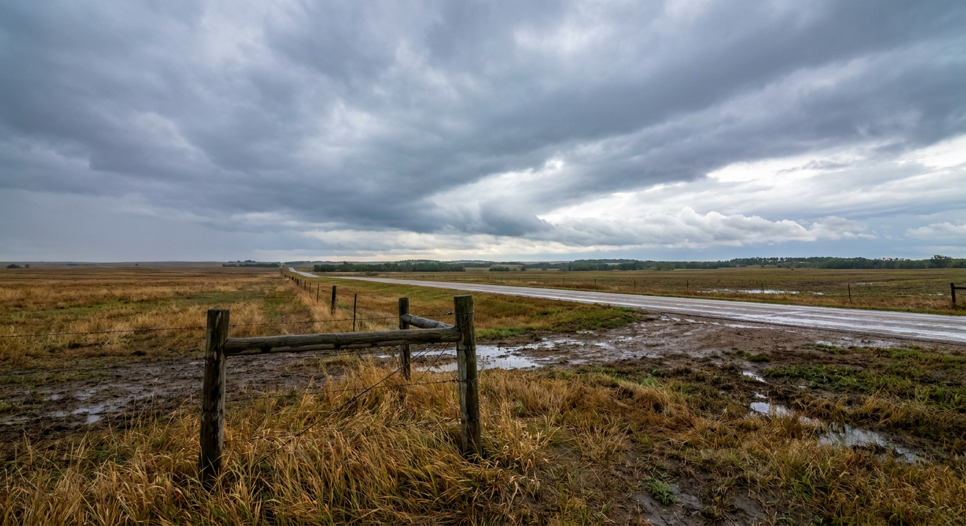
Rain Risk Swings Back Toward the Midwest and Mid-Atlantic While Norbert Spins Harmlessly Offshore
Alright y'all, good Saturday morning. Let's start way out in the East Pacific because the rules say tropical gets first mention, even when it's not the day's biggest story.
Norbert Stays Out to Sea, But Keep an Eye on What's Behind It
Tropical Storm Norbert sits about 1,200 miles west-southwest of the tip of Baja California, moving WNW at 9 mph with 58 mph winds. NHC's discussion notes the storm has actually weakened a touch, with dry air chewing into the convection. There's no coastal watch or warning in effect, and no landfall is forecast anywhere.
The only reason Hawaii shows up in the impact model at all is a long-range possibility. If Norbert's remnant energy or general track continues WNW, the islands could see it pass several hundred miles to the south around next Thursday, with forecast intensity down near 55 mph by then. That's an "aware" tier threat, the lowest category in our impact model, and about a week out. Nothing to change plans over yet, just something Honolulu's forecast office will keep tabs on given how saturated Hawaii's soils already are after Lowell, Moke, and Lala this summer.
More interesting to met nerds: NHC is also tracking a broad, disorganized low a few hundred miles southwest of mainland Mexico, tagged Invest 97EP. The associated disturbance area carries an 80% chance of development in two days and 90% over seven, which is about as confident as these outlooks get. It's way too early to talk US impacts, but don't be surprised if that area earns a name soon.
The Real Story: Rain Threat Migrates East Today, Then Boomerangs Back West
Here's the thing y'all lived through yesterday. Atlanta's metro flooded hard enough to shut down westbound I-285 at I-85, West Virginia had US-33 impassable near Glenville, and Minnesota got spotter-confirmed tornadoes out of Severe Thunderstorm Watch 666. That's the kind of multi-hazard day we've had all week, and the pattern isn't finished yet, it's just relocating.
WPC has a Slight Risk of excessive rainfall today for the Ohio Valley and Mid-Atlantic. A broad upper-level trough over the Mid-South is driving strong upward motion, and a warm front lifting north through the Mid-Atlantic is the trigger. Precipitable water values are running high enough that any storm that fires and stalls could put down quick totals. Philadelphia, DC-Baltimore, and the I-95 corridor are the names on today's watch list, mainly because urban drainage systems don't love 2-3 inch-per-hour rain rates no matter how much warning we give people.
By Sunday, that Slight Risk stretches into Long Island, coastal Connecticut, and Rhode Island, plus a second corridor lights up back over the Midwest. Eastern Nebraska, Kansas, Missouri, Iowa, and Wisconsin are looking at training thunderstorms, meaning storm after storm rides the same track. That's the same recipe that dumped 7.80 inches on West Des Moines back on September 9th and pushed Walnut Creek into moderate flood stage. Ground there hasn't fully recovered, so a repeat soaking matters more than it would on dry ground.
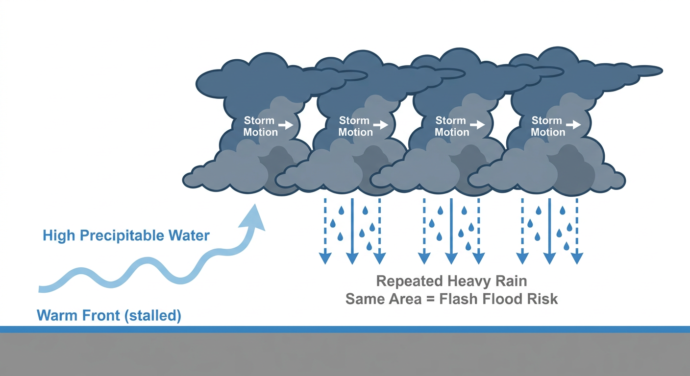
By Monday, WPC pushes a Slight Risk into the Midwest again plus a surprising second spot in southern Arizona. The driver up north is a strong closed 500mb low with heights below the 10th percentile per the ECMWF, working against a Mid-South ridge to crank moisture transport (IVT) above 750 kg/m/s over the Missouri River Valley into Minnesota. That's a serious moisture firehose for mid-September.
Marginal Severe Risk Sits Over the Southern Plains and Ozarks Today
SPC has a Marginal Risk of severe storms today across the central and southern Plains, the Ozark Plateau, and the upper Ohio Valley. Oklahoma City, Tulsa, Wichita, Kansas City, and Pittsburgh all fall inside the outlook. The main threats are large hail up to 2 inches and damaging wind gusts, and SPC has a small hatched zone inside that risk area where hail could reach 2 inches or bigger, hen-egg size for those of you who grew up hearing it described that way.
That matters for today's college football slate. Kickoff weather should stay dry and clear for most afternoon games, but Oklahoma State hosting Oregon in Stillwater and Washington State at Kansas State in Manhattan both sit inside today's marginal outlook, with West Virginia hosting UT Martin in Morgantown right on the edge of the upper Ohio Valley risk zone. If storms fire, it'll likely be after the sun goes down and games wrap up, but tailgating past dark carries some risk of a stray strong cell.
Day 2 shifts that marginal risk eastward into a corridor from western New England through the upper Ohio Valley, catching Columbus, Cincinnati, Pittsburgh, Akron, and Syracuse Sunday afternoon and evening. That lines up with NFL Sunday games in Pittsburgh (Falcons at Steelers) and Philadelphia (Commanders at Eagles), both of which also sit inside the WPC rain risk. Early kickoffs should be fine; late afternoon tailgates and drives home are where you want an eye on the sky.
By Day 3, the marginal severe threat follows the rain into the central Plains and Upper Midwest, hitting Omaha, Des Moines, Cedar Rapids, and Madison late Monday into Monday night.
What Else We're Watching
- Fire weather: An upper low and 70-80 kt jet streak crossing the Pacific Northwest today will push Elevated fire-weather conditions into the Great Basin and Sacramento Valley, and into the Snake River Valley and southwest Montana by Sunday. SPC notes fuels aren't fully receptive yet, which is tempering the concern for now.
- Space weather: Nothing dramatic. SWPC calls for quiet-to-unsettled geomagnetic conditions with a small chance of active periods today tied to a coronal hole high-speed stream. Aurora chasers at far northern latitudes might get a peek, but this is a low-confidence, minor item, not a G1 storm day.
- Flood-weary ground: Central Iowa, the Ohio Valley, and now the Mid-Atlantic are all carrying extra soil moisture into new rain chances this week. That lowers the bar for flash flooding compared to a normal, dry September.
Bottom Line
Today's headline is rain, not wind or hail, even though the Plains and Ozarks do carry a marginal severe risk worth a glance if you're outside this afternoon. If you're in Philly, DC, or Baltimore, plan for scattered downpours and possible ponding on low-lying roads through tonight. If you're in the Midwest, especially central Iowa and eastern Nebraska into Kansas and Missouri, watch Sunday night into Monday closely, because training storms over already-saturated ground is exactly the setup that caused trouble in Des Moines two weeks ago. And if you're headed to a Saturday tailgate in Stillwater, Manhattan, or Morgantown, enjoy the game, just keep half an eye on the western sky come evening.