Blog Article
March 01, 2026 Weather Recap: Extreme Heat & Winter Storms
A complete weather recap of March 01, 2026. Explore the 173-degree US temperature dipole, the Central Plains severe weather bust, and I-70 corridor icing.
Recap: The Historic 173-Degree Split and Central US Storms of March 01, 2026
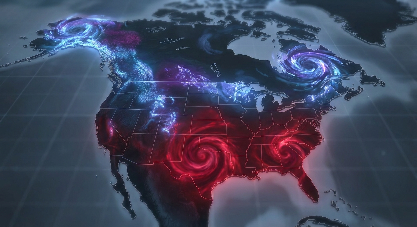
Alright folks, let's look back at the wild weather we saw yesterday, March 01, 2026. Get this. We experienced a profound 173-degree temperature difference across the United States. That is not a typo. Y'all, we had record-breaking heat in the South and life-threatening Arctic cold up north, all while a messy storm system tracked right through the middle of the country.

The Big Headline: A Tale of Two Extremes
The most dramatic takeaway from yesterday was the sheer contrast in temperatures. Down in Laredo, Texas, the thermometer hit 103°F. That officially set an all-time February high temperature record for the area, since it occurred late on the 28th into the 1st depending on your time zone.
Meanwhile, up in Alaska, it was a completely different planet. The Eastern Beaufort Sea Coast endured a brutal Arctic blizzard. We saw 75 mph wind gusts and wind chills plummeting to -70°F. At those temperatures, frostbite can set in within five minutes.
Timeline of Events: What Happened vs. What Was Forecast
Here's the thing. We were bracing for a major severe weather event in the Central Plains. The forecast looked incredibly volatile, and many folks were on high alert. If you were searching online for a tornado outbreak March 01, 2026, you might be surprised to learn that the atmosphere actually had other plans.
We saw a confirmed convective "bust" in the Central Plains. Why? A very strong 700mb capping inversion held tough over the region. That warm layer of air aloft acted like a heavy lid on a boiling pot of water, keeping widespread explosive thunderstorm development at bay.
However, a few storms did manage to break through the cap. Emergency management confirmed 1.50-inch hail, about the size of a half dollar, in Marion, Kansas. Down in South Florida, Miami also saw some intense pulsing storms that dropped 1.00-inch hail and produced 60 mph wind gusts.
The Winter Transition
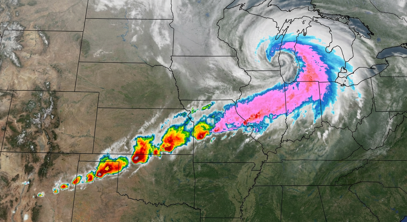
As the mid-latitude low-pressure system organized and moved east, the severe threat transitioned into a significant winter weather and icing event for the Missouri and Ohio Valleys.
- De Soto, Wisconsin: Measured a solid 8.0 inches of snow accumulation.
- I-70 Corridor: Saw a widespread wintry mix of sleet and freezing rain.
- Ohio and Indiana: By early this morning, measurable snow reports rolled in, including 4.2 inches in Hilliard, Ohio, and 3.7 inches near Fortville, Indiana.
- Kansas: Dense freezing fog dropped visibility to a quarter-mile in places like Pierceville and Toulon.
Ground Truth: Surprises and Rarities
We also had some non-atmospheric surprises yesterday. A rare Magnitude 4.1 earthquake struck near Cowles, Nebraska, and was felt across multiple states. Later in the day, a Magnitude 4.3 quake hit near Tonopah, Nevada. Over in the Pacific, Guam faced torrential flash flooding with rainfall rates of 1 to 3 inches per hour.
What Meteorologists Can Learn
Yesterday was a textbook example of the power of a capping inversion. Models can sometimes underestimate the strength of the cap. When that lid holds, it can completely shut down a forecasted severe weather outbreak. It is a humbling reminder that in meteorology, a single variable can change the entire outcome of a day. It is always better to be over-prepared and have the atmosphere spare us, rather than the other way around.
What's Coming Next
The weather never sleeps, y'all. Looking ahead through today and tomorrow, we are tracking a Marginal to Slight risk for severe storms across the Southern Plains and western Ozarks. We are also watching a Marginal risk for excessive rainfall and potential training storms in the Ohio Valley. Up in the Northeast, expect more wintry mix and heavy snow, while the Texas and New Mexico panhandles will be dealing with near-critical fire weather due to dry downslope winds.
Bottom Line
The March 01, 2026 weather recap is one for the record books, mostly due to the staggering 173-degree temperature spread across the country. While the Central Plains largely dodged a severe weather bullet thanks to a strong atmospheric cap, the transition into a messy ice and snow event created real travel headaches for the Ohio Valley. Stay weather aware this week as the pattern remains incredibly active.