Blog Article
March 03, 2026 Weather Recap: Ice, Hail & Major Floods
A complete recap of the major weather events from March 03, 2026. Read about the Northeast ice storm, Midwest severe hail, and widespread Ohio Valley flooding.
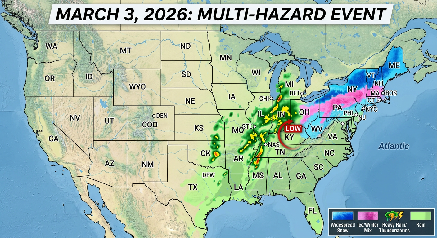
The March 3 Ice, Hail, and Flood Combo
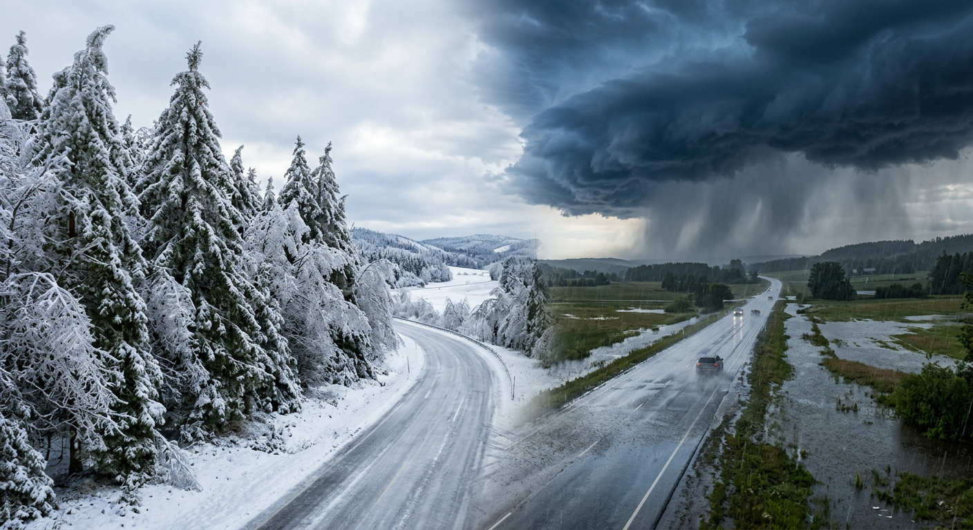
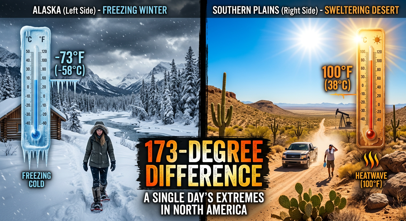
Alright folks, y'all know we talk a lot about wild weather days, but yesterday, March 03, 2026, really threw the kitchen sink at us. We had a major multi-hazard setup that stretched all the way from the Midwest to the Northeast. Here is the thing. It was not just one storm type. We saw everything from crippling ice and heavy snow to severe thunderstorms and flash flooding. Get this, we even had a 5.3 magnitude earthquake up in Alaska just to keep things interesting.
How the Day Unfolded
The morning started off incredibly messy on the East Coast. We had a classic Cold Air Damming setup along the Appalachians. Freezing rain locked in early, and it escalated into a major icing hazard. By mid-morning, over 1,000 schools and government buildings were forced to close across Pennsylvania, Connecticut, Virginia, and New York.
As the afternoon rolled around, the atmosphere in the Midwest decided it was time to wake up. We saw a convective system escalate rapidly. What started as a marginal hail threat blossomed into Severe Thunderstorm Warnings across Illinois and Indiana.
By late evening, the story shifted entirely to water. Training rainfall set up over the Ohio Valley, prompting the National Weather Service to expand Flood Watches to cover over 5.8 million people.
By The Numbers: What Actually Happened
Looking at the official data, we had 26 total confirmed severe weather reports yesterday. Here is the breakdown of the major milestones:
- Ice: We saw ice accretions reach a peak of 0.30 inches in the Appalachian ridges. Confirmed reports included 0.25 inches in Staatsburg, New York, and 0.20 inches in Grantsville, Maryland.
- Snow: Interior New England took the brunt of the winter weather, with snowfall peaking at 5.2 inches in Leyden, Massachusetts.
- Hail: The severe storms in the Midwest dropped 1.00-inch, quarter-sized hail right on the Indianapolis metro area.
- Flooding: Multiple roads and low water crossings were shut down due to flash flooding in places like Horner Hill, Ohio, and Harrisville, West Virginia.
Ground Truth vs. Expectations
The meteorology community actually nailed the forecast for the Mid-Atlantic ice. The models saw that cold air getting trapped against the mountains days in advance. However, the sheer volume of water that fell over the Ohio Valley escalated into flash flooding much faster than some of the early guidance suggested.
Behind the scenes, meteorologists had an incredibly stressful afternoon. The Storm Prediction Center experienced a major AWIPS system failure right in the middle of the day. This technical glitch delayed critical convective outlooks from going out to the public during a very active weather period. It just goes to show that even our top national agencies have to battle technology sometimes.
What Is Coming Next
If you thought yesterday was wild, y'all need to buckle up for the end of the week. The active pattern is not done with us.
Looking at the current data, the severe weather threat is shifting west and intensifying. The SPC has already issued a rare Day 3 Enhanced Risk for Friday across the Southern and Central Plains. We are looking at a classic dryline setup with strong upper-level support. This means a significant threat for supercells producing very large hail, damaging winds, and tornadoes from West Texas straight up into the Missouri Valley. Meanwhile, winter is making a huge comeback out West, with heavy snow expected to pile up in the Colorado and Wyoming Rockies.
The Bottom Line
Yesterday was a stark reminder of how fast transitional spring seasons can throw multiple hazards at you at the exact same time. The National Weather Intensity Score peaked at 26.11, which tells you just how widespread the impacts were.
If you live in the Plains or the Midwest, you need to be paying close attention to the forecast as we head into Thursday and Friday. Have your weather radios ready, make sure your family knows your severe weather plan, and keep your eyes on the skies.