Blog Article
March 11, 2026 Weather Recap: Tornadoes, Hail & Blizzards
Read the full March 11, 2026 weather recap. We break down the tornado outbreak, 80 mph squall line, 5.2-inch hail, and the Pacific Northwest blizzard.
The March 11, 2026 Weather Recap: A Wild Ride from 5-Inch Hail to Cascades Blizzards
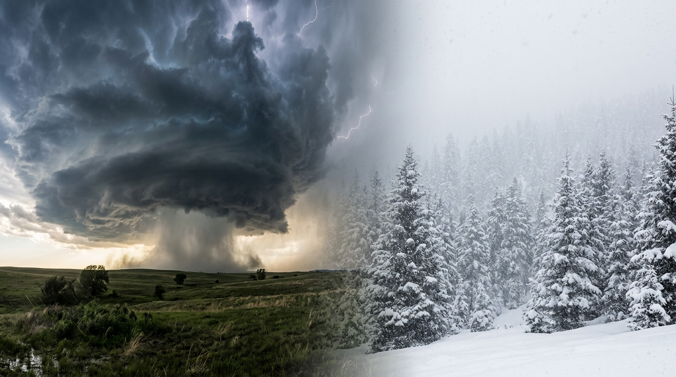
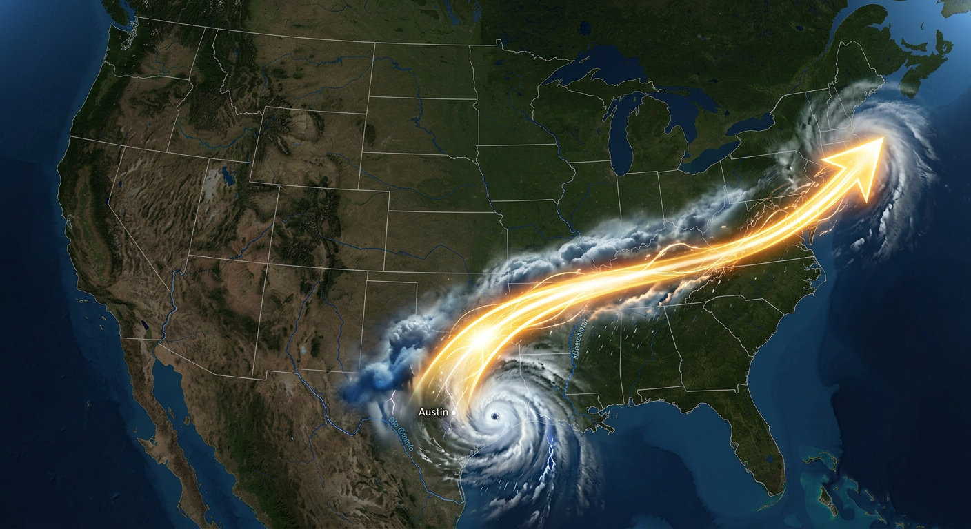
Alright folks, let's talk about what just happened. Y'all know we were tracking a massive mid-latitude cyclone, but March 11, 2026, really threw the kitchen sink at us. From a 1,000-mile squall line to a literal blizzard in the Pacific Northwest, yesterday was one for the record books.
Here is the thing that really blew my mind. We had a 5.2-inch hailstone drop southwest of Kankakee, Illinois. That is well past the threshold for giant hail. Plus, we had a squall line moving at 80 mph across the Indiana and Ohio border. When storms move that fast, warning lead times basically evaporate.
How the Day Unfolded
The day kicked off with a severe squall line moving through the Dallas-Fort Worth metroplex. We saw wind gusts over 60 mph and a massive Flash Flood Emergency impacting over 6.6 million people. Get this, up in Michigan, Grand Rapids was dealing with a massive hydrological crisis at the exact same time. They had 24 inches of standing water and active water rescues going on along Diamond Avenue.
By the afternoon, the system really started to crank. We had discrete tornadic cells popping off in the Southern Plains, including a confirmed, radar-observed tornado in Nacogdoches, Texas. As the system pushed east into the Ohio Valley, it congealed into a high-velocity squall line.
By the evening, that line made it all the way to the I-95 corridor. Places like Fairfax, Virginia, and Frederick, Maryland, clocked 70 mph wind gusts that caused considerable structural damage along I-70. Meanwhile, down in the Deep South, we saw more confirmed tornadoes in places like Echo, Louisiana.
The Winter Side of Things
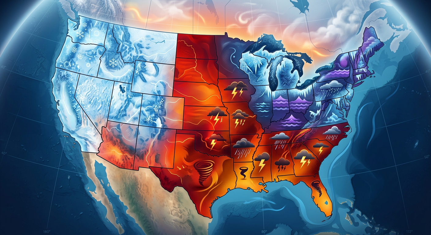
While the eastern half of the country was dealing with severe thunderstorms, we had a completely different story up north and out west.
Northern Lower Michigan got hammered with a significant ice storm. Cathro, Michigan, recorded 0.43 inches of radial ice accretion before the local weather station literally failed from the ice load. That led to over 70 school closures. Out in the Pacific Northwest, an atmospheric river fueled a full-blown blizzard in the Washington Cascades, dumping over 14 inches of snow.
Ground Truth vs. Forecast
So, how did the actual events compare to what we expected? We ended up with 48 total severe weather reports yesterday. We knew a multi-hazard event was coming, but a few things definitely surprised us.
First, the 80 mph forward speed of that convective line is exceptionally rare. Meteorologists will be studying that kinematic environment for a while. Second, the sheer size of the hail in Illinois was on the extreme upper end of the forecast models. We had confirmed tornado sightings and damage in Indiana, Texas, Arkansas, and Louisiana, which lined up well with the risk areas, but the intensity of the localized flooding in Michigan was staggering.
Key Stats to Remember
- 48 Total Severe Reports: Confirmed tornadoes, wind damage, and giant hail.
- 5.2-Inch Hail: A record-sized monster stone near Kankakee, IL.
- 80 mph Storm Motion: Exceptionally rare forward speed across the Ohio Valley.
- 24 Inches of Flood Water: Grand Rapids, MI, saw major hydrological emergencies.
- 0.43 Inches of Ice: Northern Michigan got coated, knocking out power and weather stations.
- 20,000+ Power Outages: Customers left in the dark across the Mid-Atlantic and Gulf Coast.
What is Coming Next
Alright, so what is the follow-up weather pattern looking like? The main system is shifting into the Northeast as a clipper, bringing moderate to heavy snow to Upstate New York and Northern New England. Upper Michigan is still under Winter Storm Warnings with near-whiteout conditions expected today.
Out west, we are seeing a major flip. A significant warming trend is building, and we are talking about record-breaking heat in the Desert Southwest with highs pushing into the 90s. That is going to elevate the fire weather risk in the Southern High Plains. Also, heads up, we are tracking a G1 Minor Geomagnetic storm, so there could be some minor power grid or satellite fluctuations.
Bottom Line
The tornado outbreak on March 11, 2026, was a classic, high-end transition season event. It perfectly illustrated how a single mature mid-latitude cyclone can produce a blizzard, an ice storm, a flash flood emergency, and a tornadic squall line all at the same time. The biggest takeaway for y'all is to always respect the speed of these spring systems. When a storm is moving at 80 mph, you do not have time to step outside and look at the clouds. You have to take shelter immediately. Stay safe out there, y'all.