Blog Article
March 26, 2026 Weather Recap: Ohio Tornado & Plains Heat
Read our full weather recap for March 26, 2026. We break down the 85 mph Ohio Valley squall line, the Sharpsville tornado, and record heat in the Plains.
March 26, 2026: A Day of Absolute Extremes
Y'all, yesterday was one of those days that will end up in the meteorology textbooks. We had a massive temperature gradient set up right over the middle of the country, and the atmosphere responded exactly how you would expect.
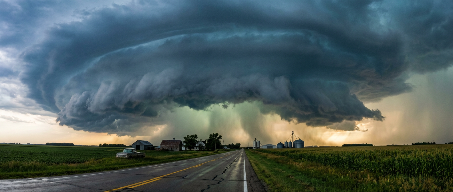
The headline from yesterday was that intense squall line tearing through the Ohio Valley. We saw storm motions hitting 70 to 85 mph. That is incredibly fast for a linear convective system. When storms move that quickly, the wind damage potential goes through the roof.
How the Timeline Unfolded
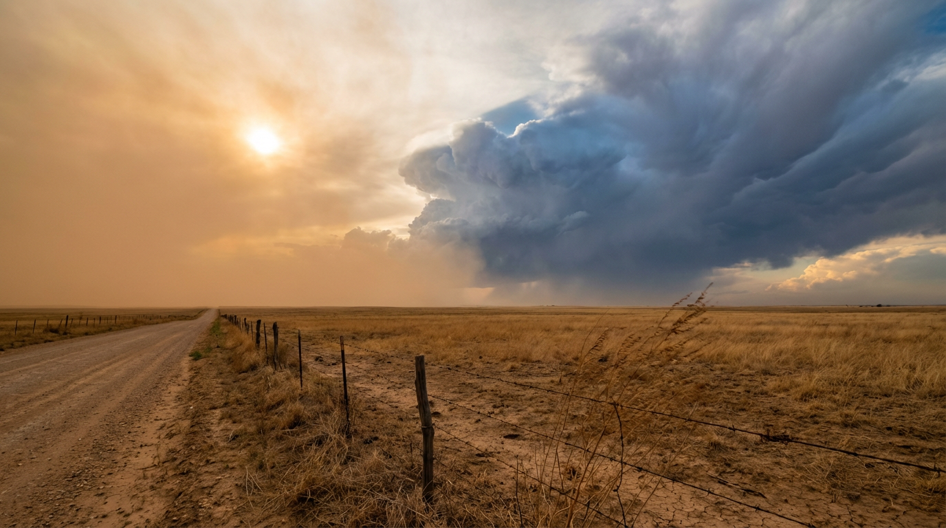
The setup started with historic heat out west. St. Louis set an all-time March record of 93 degrees. Further southwest, Roswell, New Mexico, and Amarillo, Texas, pushed past the 100-degree mark. The Southern High Plains actually peaked at 106 degrees. That is 25 to 35 degrees above normal for late March.
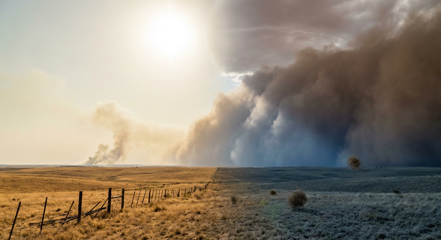
All that heat and dry air created a powder keg for fire weather. By 2:35 PM Eastern, the National Weather Service in Norman issued warnings for western and central Oklahoma as temperatures hit 103 degrees with humidity dropping to a bone-dry 4 percent. Up in Nebraska, the Ashby Fire exploded to 58,935 acres with zero percent containment.
By the late afternoon, that heat acted as rocket fuel for storms along the cold front.
- 6:36 PM Eastern: A spotter station in Sitka, Indiana, measured a wind gust of 72.3 mph.
- 6:44 PM Eastern: The National Weather Service in Cleveland issued a Tornado Warning for Sharpsville, Ohio. A tornado was observed on the ground, moving east at 55 mph and causing structural damage.
- 7:22 PM Eastern: Golf ball-sized hail dropped on Danville, Illinois.
- 7:23 PM Eastern: Severe winds ripped the roof off a two-story home in Fowler, Ohio, lofting it straight into a nearby field.
While the mainland dealt with wind and fire, Puerto Rico faced a major hydrological threat. A Flash Flood Emergency was declared in San Juan. Down in Trujillo Alto, emergency crews had to rescue two people from a stranded vehicle after floodwaters overtook PR-3.
The Forecast vs. Reality
Looking back at yesterday morning's forecast, we had a really good handle on the overall setup. We warned you about the 85 mph squall line in the Ohio Valley and the potential for tornadoes. That verified right down to the Sharpsville tornado.
We also talked about the 106-degree heat in Texas and the 35 to 45 mph wind gusts driving a massive fire threat. Sadly, that also played out exactly as expected with the Ashby Fire and the extreme conditions in Oklahoma.
What caught some folks off guard was the sheer volume of water that fell later in the night. By 9:40 PM Eastern, Pittsburgh saw rainfall rates of 2 to 3 inches per hour, completely submerging Route 65.
What Comes Next
The record-breaking heat is finally breaking. A strong cold front is pushing southward across the southern Plains and the Ohio Valley today. The Weather Prediction Center confirms that northerly winds behind this front are bringing a significant cool down. If you live from the Ohio Valley down into the Southeast, expect widespread frost and freeze conditions by Saturday morning.
However, the fire threat is not over. The Storm Prediction Center has outlined a Critical Fire Weather area today for western Oklahoma, the Texas and Oklahoma Panhandles, and south-central Kansas. Dry, post-frontal winds are going to keep the fire danger incredibly high.
Looking ahead to next week, the Storm Prediction Center is already highlighting a return to an active severe weather pattern. A strong trough will dig into the western United States, pulling moisture back into the Plains and Mississippi Valley.
The Bottom Line
March 26 gave us a textbook example of spring transition weather. The atmosphere had to balance out a massive thermal gradient, and it did so through extreme winds, rapid wildfire growth, and severe thunderstorms. The warning systems worked, and the forecast held up, but the damage in places like Sharpsville and the ongoing fires in Nebraska show exactly why we take these setups so seriously.