Blog Article
April 02, 2026 Severe Weather Recap: Tornadoes & Ice Storm
A complete recap of the April 02, 2026 severe weather event, featuring confirmed tornadoes, a major ice storm in Wisconsin, and 69 mph winds in Chicago.
April 02, 2026 Severe Weather Recap: A Multi-Hazard Mess
Y'all, yesterday was one of those days that tested every limit of our forecasting models. We started with discrete cells down in the Southern Plains, and by the time the sun went down, we were looking at a widespread, multi-hazard infrastructure crisis across the Midwest.
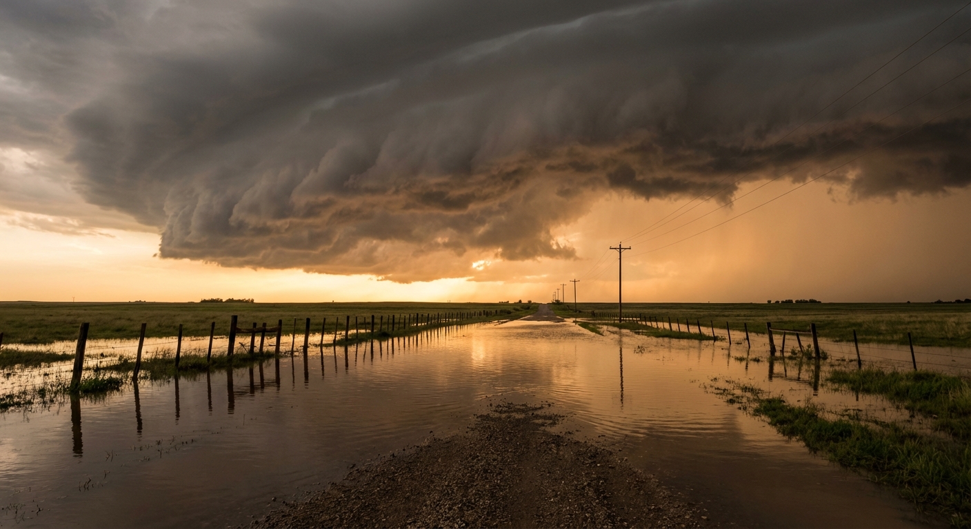
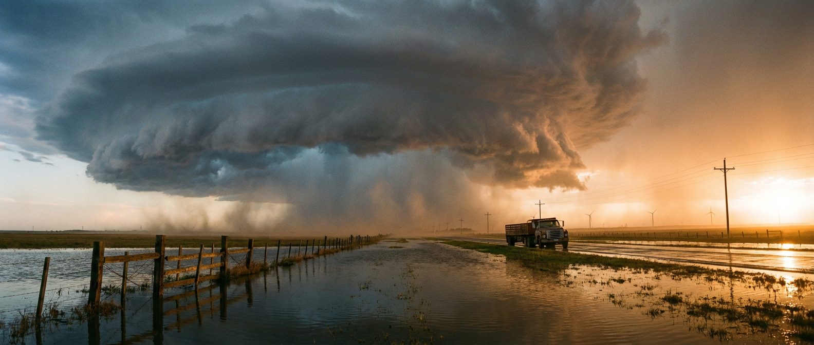
Here is the thing about April 02. It did not just bring one type of severe weather. It brought everything. We had a regional tornado outbreak across Iowa, Illinois, and Wisconsin. Down in Springdale, Iowa, law enforcement confirmed a rope tornado on the ground. Over in Davis Junction, Illinois, the winds were so intense they collapsed a grain elevator right onto the train tracks.
How The Day Unfolded
The escalation yesterday was something else. The system transitioned from those isolated cells into a massive linear wind event by the evening. Get this. We had a high-impact ice storm dropping half an inch of ice in Polonia, Wisconsin, knocking out power to over 61,000 folks. At the exact same time, in the exact same regional system, we were seeing 70 mph convective wind gusts.
We also saw life-threatening flash flooding. Bates and Henry counties in Missouri picked up 3 to 7 inches of rain. Down in Independence, Louisiana, they saw 5 to 7 inches, with vehicles taking on water right on Highway 40.
Ground Truth vs. Forecast
In our morning update today, we mentioned that Chicago Midway Airport clocked a 69 mph wind gust last night. The data confirms that happened right as the squall line passed through at 01:31 UTC.
Did the forecast hold up? For the most part, yes. But the sheer density of the hazards was staggering. It is incredibly rare to see "Considerable" and "Life-Threatening" flash flood tags issued at the exact same time as "Tornado Possible" tags on a line of storms. The atmosphere had a lot of energy to burn, and it did exactly that.
Key Stats from April 02:
- Tornadoes: Confirmed rope tornado near Springdale, IA.
- Wind: 69 mph gust measured at Chicago Midway Airport, with 75 mph gusts in Texas and Oklahoma.
- Ice: 0.50 inches of ice measured in Polonia, WI.
- Flooding: Up to 7 inches of rain in both Missouri and Louisiana.
- Damage: Major structural damage in Illinois, including a collapsed grain elevator.
- Seismic: A Magnitude 7.4 earthquake struck Ternate, Indonesia.
What Comes Next
The storms are not done yet. As we talked about in the morning forecast, the Storm Prediction Center has an Enhanced Risk up for northern Missouri, southern Iowa, and west-central Illinois for today, April 03.
We are expecting a few tornadoes and isolated very large hail late this afternoon. By Friday evening, those storms will evolve into an extensive line stretching from Iowa down to Oklahoma. If you have outdoor plans tonight, you need to pay attention. The Weather Prediction Center also has a Slight Risk for excessive rainfall across the Southern Plains into the Ozarks, so the water threat is not over either.

Bottom Line
Yesterday showed us exactly how fast a localized threat can turn into a regional crisis. The transition from discrete supercells to a massive wind and rain machine was textbook, but seeing it happen in real time is always sobering. Keep your phones charged, have multiple ways to get warnings, and take these Friday evening storms seriously.