Blog Article
April 09, 2026 Severe Weather Recap: CA Funnels & KS Hail
A complete weather recap of April 09, 2026. Read about the rare California Tornado Warning, Kansas severe storms, and the massive East Coast freeze.
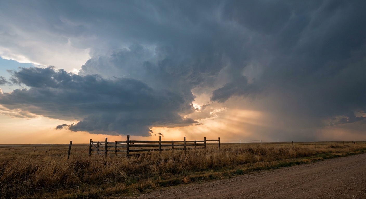
April 09, 2026 Weather Recap: A California Surprise and Kansas Hail
Alright folks, yesterday was an interesting one. We saw a massive weather shift unfold across the country, and it brought a few surprises that kept meteorologists on their toes.
We need to talk about California first. You do not see a Tornado Warning in the San Joaquin Valley every day. At 5:38 PM Pacific Time, the National Weather Service issued a rare Tornado Warning for Fresno and Madera counties. Radar indicated rotation, and sure enough, we received public confirmation of a funnel cloud near Firebaugh.
Out in the Central Plains, the atmosphere got loud. Greenleaf, Kansas saw hail the size of hen eggs, measuring right around two inches in diameter. Over in Russell, Kansas, a 67 mph wind gust flipped a semi-truck at the I-70 and US-281 junction. That same storm knocked out power to the entire city.
How The Day Unfolded
The day actually started quiet and very cold. Over 150 million people in the Eastern U.S. woke up to a widespread late-season freeze.
As the sun came up and temperatures rose, the hazards shifted from static cold to dynamic storms. By the afternoon, storm outflows in the Texas Panhandle fanned the flames of the Red Fire, pushing it to 3,000 acres rapidly. Meanwhile, up in Michigan, the Grand River at Comstock Park hit moderate flood stage, cresting around 15.5 feet and affecting about 100 homes.
Even Hawaii saw some intense action. A mesonet station at Schofield Barracks recorded a 69 mph non-thunderstorm wind gust.
The Forecast vs. Reality
Let us talk about the forecast. In our previous daily blog, we focused heavily on the upcoming weekend severe threat for Texas and Oklahoma, plus the massive snow moving into the Sierras.
We were right about the overall pattern getting active, but we missed the immediate severe threat that popped up yesterday. We did not explicitly highlight that California funnel cloud risk or the severe hail in Kansas for Thursday. The atmosphere decided to kick the party off a day early. That is a humbling reminder for all of us in the weather enterprise. We have to watch the short-term data just as closely as the big weekend setups.
What Comes Next
Looking ahead, that weekend forecast we talked about yesterday is still very much on track.
- Saturday: The Storm Prediction Center holds a Slight Risk for severe storms across West Texas and Southeast New Mexico. Large hail and strong winds are the main threats.
- Sunday: That severe threat shifts east into Kansas, Oklahoma, and central Texas.
- The West: The Sierra Nevada is still looking at feet of snow through the weekend, with snow levels crashing down to 4,500 feet.
The Bottom Line
The transition seasons are always messy. NOAA officially declared the end of the La Niña cycle yesterday, and you can see the atmosphere trying to figure out its new normal. We are moving out of winter freezes and straight into a volatile spring pattern of severe storms and wildfires. Keep your weather radios on, have multiple ways to get warnings, and take these early spring setups seriously.