Blog Article
April 11, 2026 Severe Weather Recap: Tornadoes & Flooding
A complete recap of the April 11, 2026 severe weather event, featuring a confirmed tornado in Nebraska, 80 mph winds, and a major flood rescue in Kansas.
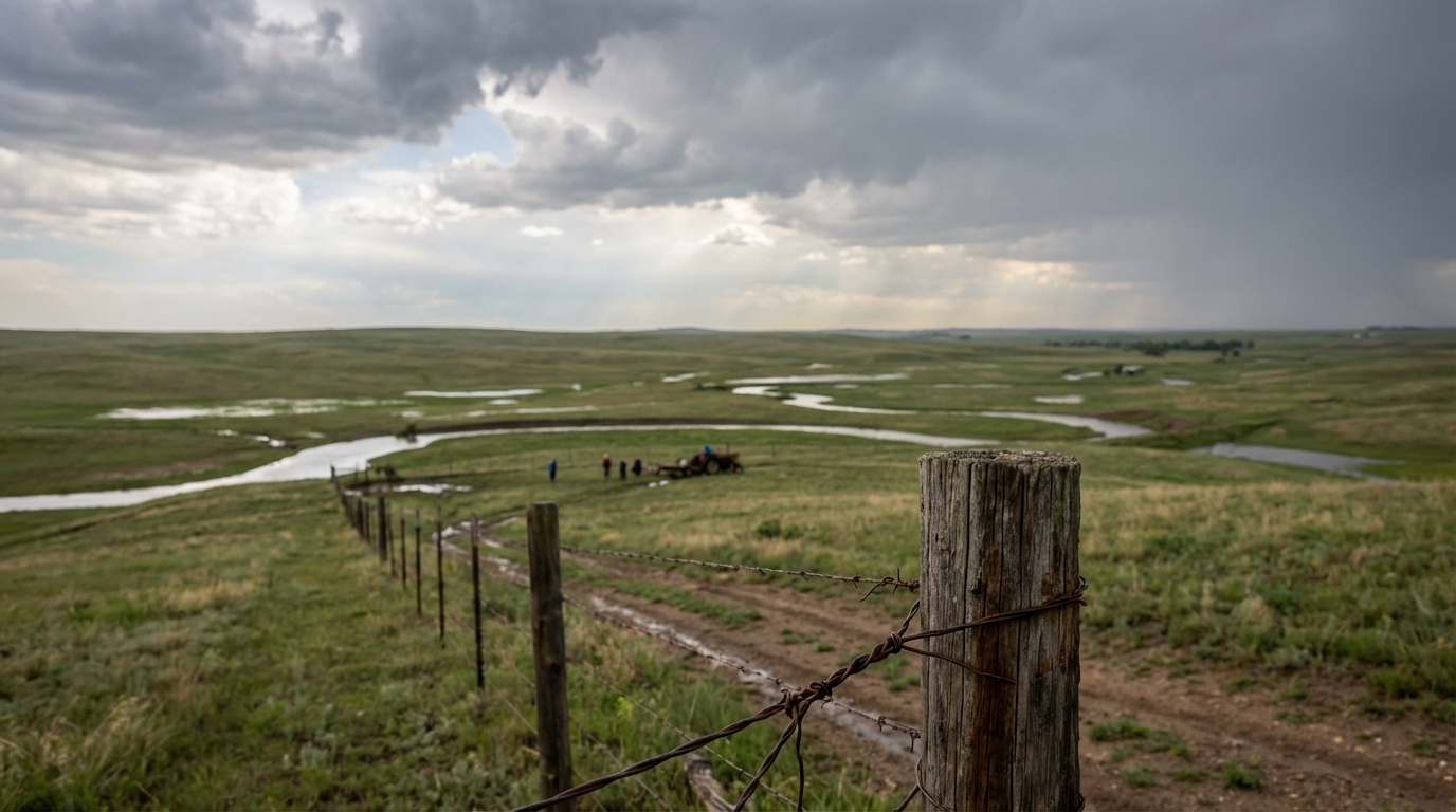
Recap: Tornadoes, Rescues, and Sierra Snow on April 11
Y'all, yesterday was a stark reminder of how fast water can rise. While a lot of us were looking ahead to the severe weather setups in Texas and the Upper Midwest, Saturday, April 11, turned into a massive multi-hazard day across the Central Plains. The most intense moment did not come from a funnel cloud. It came from a campground in Marshall County, Kansas, where 30 people had to be rescued from rapidly rising floodwaters.
Here is how the day unfolded.
The Timeline of April 11
The morning started off with localized, life-threatening flash flooding all the way out in Hawaii. Oahu saw rain rates of 1 to 2 inches per hour, forcing evacuations at Otake Camp. Meanwhile, the West Coast was dealing with a completely different season. The Sierra Nevada mountains were taking heavy snow, with a Winter Storm Warning verifying expectations of 12 to 28 inches of accumulation and wind gusts up to 90 mph.
By the late afternoon and evening, the severe weather threat escalated across the Central United States. At 5:04 PM Central Time, storm chasers captured video of a confirmed tornado 4 miles northeast of Chester, Nebraska.
Shortly after, the wind threat took over. A mesonet station near Atlantic City, Wyoming, measured an 83 mph wind gust. Down in Mount Hope, Kansas, 79 mph winds combined with 1.75-inch hail to snap power poles and cause significant damage.
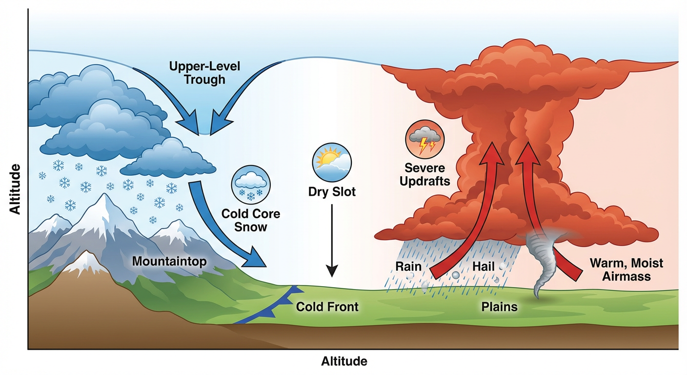
Ground Truth: Forecast vs. Reality
Let us look at what we got right and what surprised us. Our previous discussions were heavily focused on the upcoming Monday threat in the Upper Midwest and the Sunday severe setup in Texas. We knew the western trough was digging in, but the sheer volume of water in Kansas escalated faster than many anticipated. Blue Rapids, Kansas, picked up an estimated 4 to 6 inches of rain, leading to that massive 30-person campground rescue.
On the winter side, the forecast was spot on. We talked about 1 to 2 feet of snow for the higher elevations of the Sierra, and the data confirms that is exactly what happened. It is rare to see dual-hazard winter and severe thunderstorm conditions happening simultaneously in the Northern Sierra, but the atmosphere had the exact ingredients to pull it off.
Key Impacts and Records
- Human Impact: 30 people were stranded and successfully rescued at a campground in Blue Rapids, Kansas.
- Confirmed Tornado: One tornado was confirmed via video 4 miles northeast of Chester, Nebraska.
- Destructive Winds: An 83 mph gust hit Atlantic City, Wyoming, and a 79 mph gust snapped power poles in Mount Hope, Kansas.
- River Flooding: The Wolf River at New London, Wisconsin, pushed right up against its historical record stage of 10.1 feet. The Nemaha River in Kansas also breached its banks, closing 146th Street west of Highway 63.
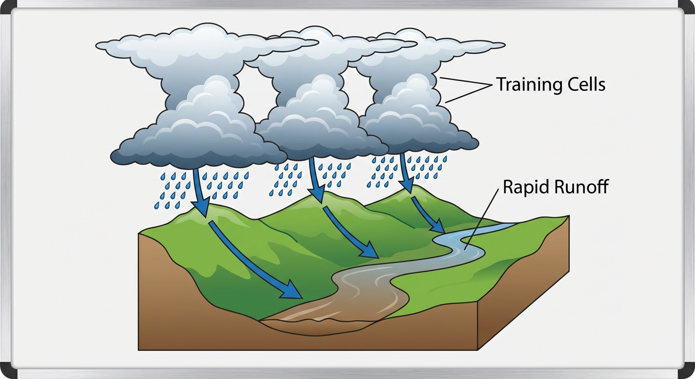
A Quick Meteorology Lesson
Here is the thing about spring transition systems. You can have a deeply mixed boundary layer driving 80 mph severe wind gusts in one state, while training thunderstorms dump half a foot of rain just a few hours east. Yesterday was a classic example of a strong upper-level low using every bit of available moisture and energy. The severe winds happen where the dry air punches in, and the flooding happens where the moisture gets trapped and repeats over the same area.
What Comes Next
The system that caused all this trouble yesterday is still moving. Today, April 12, the Storm Prediction Center has a Slight Risk over Central and Southern Texas for large hail and damaging winds.
By Monday, that energy shifts north. We are tracking a Slight Risk for severe storms in the Upper Midwest, including places like Minneapolis and Milwaukee. The Weather Prediction Center is also forecasting another round of heavy mountain snow for the Sierra Nevada today, along with drenching rain for lower-elevation California.
Bottom Line
Yesterday proved that while tornadoes get the most attention, water is often the most immediate danger. The folks in Kansas who went camping probably did not expect to leave on a rescue boat. Keep your weather radios loud, and respect those flash flood warnings just as much as the tornado sirens.
https://ryanhallyall.com/blog/recap-2026-04-11-recap-tornadoes-rescues-and-sierra-snow-on-april-11