Blog Article
April 12, 2026 Severe Weather Recap: TX Rain & CA Tornado
A complete recap of the April 12, 2026 weather events, including extreme 6-inch rainfall in Texas, a rare California tornado, and Super Typhoon Sinlaku.
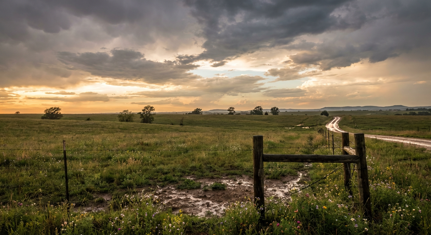
The April 12 Weather Recap
Y'all, yesterday was a stark reminder that the atmosphere does not care about our calendars. While a lot of us were looking ahead to the severe threat building for the Midwest later this week, Sunday, April 12, delivered a massive punch of its own across several different regions.
From extreme rainfall in the South to a rare tornado out West, the day was packed with localized, high-impact events.
How the Day Unfolded
Down in South-Central Texas, the sky just opened up and refused to close. An automated gauge in Moulton recorded a staggering 6.53 inches of rain in just a three-hour window. That is the kind of water that overwhelms drainage systems instantly and turns roads into rivers. During that same evening timeframe, we also saw a tornado warning go up for radar-indicated rotation just northwest of Burnet.
Out west, things got genuinely unusual. We had a rare late-season winter storm drop over 20 inches of snow in the Sierra Nevada. But get this. Up in Northern California, near Vina, we actually had a confirmed brief EF-U tornado touchdown. You do not see that every day.
Meanwhile, the transition to spring got incredibly messy up north. Pellston Regional Airport in Northern Michigan had to shut down completely. High water from a mix of heavy rain and rapid snowmelt completely covered the runways, prompting dam-related Flash Flood Warnings in the area.
We also saw some serious wind energy moving across the Plains and the Intermountain West. A weather station measured a 76 mph wind gust in Saint Francis, Kansas, and we saw a 67 mph gust hit Monteview, Idaho.
The Monster in the Pacific
We also have to talk about the West Pacific. Super Typhoon Sinlaku exploded into a Category 5 equivalent monster with 180 mph sustained winds. The National Weather Service in Guam had to issue Typhoon Warnings for Rota, Tinian, and Saipan. That is a historic level of intensity, and it shows just how much energy is sitting over the oceans right now.
Forecast vs. Reality
In our last update, we spent a lot of time talking about the severe weather threat shifting east toward Chicago and Milwaukee for Tuesday. We also warned about a Critical Fire Weather area for southeast Colorado around Lamar.
Here is the honest truth. That forecast was highly accurate for the days ahead, and those threats are still locked in. The Storm Prediction Center still has that Enhanced Risk up for eastern Iowa, northern Illinois, and southern Wisconsin for Tuesday. The fire weather threat for Colorado is also still on track, with 20 to 25 mph winds and bone-dry air expected.
However, Sunday proved that we cannot take our eyes off the short-term localized threats while waiting for the big synoptic systems to organize. The extreme rain in Texas and the surprise tornado in California were immediate, ground-level impacts that demanded just as much attention as the upcoming Midwest severe outbreak.
What Comes Next
For today, Monday, April 13, the severe weather focus shifts squarely to the Upper Mississippi River Valley.
- Today's Threat: There is an Enhanced Risk covering Minneapolis, St. Paul, and Rochester. We are looking at a threat for large hail, damaging winds, and a few tornadoes.
- Tomorrow's Threat: On Tuesday, that severe threat moves into the Chicago and Milwaukee areas, exactly like we talked about in our previous blog.
- Travel Impacts: Expect major cascading delays at hubs like Chicago O'Hare and Detroit over the next 48 hours due to severe thunderstorms and powerful crosswinds.
The Bottom Line
The weather pattern is fully loaded right now. Yesterday gave us a taste of how quickly localized storms can produce extreme impacts, from 6-inch downpours to brief tornadoes. As this massive storm system moves into the Midwest over the next two days, you need to have your severe weather safety plans ready to go. Have multiple ways to get warnings, especially if you live anywhere from Minneapolis down to Chicago.