Blog Article
April 14, 2026 Severe Weather Recap: Tornadoes & Hail
A complete weather recap of April 14, 2026. Review the Wisconsin PDS tornado, Iowa's 88 mph winds, and the Big Falls Dam flash flood emergency.

Y'all, yesterday was a stark reminder that the atmosphere does not care about risk categories. We woke up on April 14 expecting a standard spring severe weather day. By the afternoon, we were tracking a Particularly Dangerous Situation tornado in Wisconsin.
Here is the thing. In the previous forecast, we talked about a Slight Risk stretching from Oklahoma City all the way up into Michigan. We knew large hail and damaging winds were the primary threats. The forecast got the ingredients right, but the ceiling of those ingredients was much higher than anticipated. The storms overachieved in a big way.
How the Day Unfolded
The morning started with water, not wind. At 10:16 AM Central, a Flash Flood Warning dropped for Waupaca County, Wisconsin. The Big Falls Dam on the Little Wolf River was in imminent danger of failing. Water was actively bypassing the embankment, prompting immediate flash flood emergencies.
By the afternoon, the atmosphere destabilized and discrete storms fired up. At 3:20 PM Central, emergency management confirmed a tornado touchdown in Eldora, Iowa. That storm caused structural damage right out of the gate.
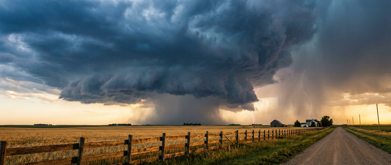
Then things escalated further north. A PDS Tornado was confirmed near Elroy, Wisconsin. That is a label the National Weather Service does not use lightly. It means a large, intense, and destructive tornado is actively on the ground.
As the sun went down, the hail and wind took over. Madison, Wisconsin, saw hail measuring 3.25 inches in diameter. That is large enough to smash windshields, and it did exactly that to local law enforcement patrol vehicles. Down in Iowa, the Dubuque Regional Airport measured an 88 mph wind gust just before midnight.
The Stats You Need to Know
- Peak Wind: 88 mph measured at Dubuque Regional Airport (KDBQ).
- Largest Hail: 3.25 inches in Madison, WI.
- Tornadoes: Confirmed touchdown in Eldora, IA, and a PDS tornado near Elroy, WI.
- Flooding: Flash flood emergencies triggered by the imminent failure of the Big Falls Dam in Wisconsin.
Beyond the Midwest
The severe weather in the central states was just one piece of a wild global weather day. Get this. Super Typhoon Sinlaku made landfall on Tinian and Saipan with 155 mph sustained winds. It actually peaked at 165 mph just before hitting the Mariana Islands.
Out west, winter weather conditions caused a massive 75-car pileup on I-70 in western Colorado. And if that was not enough, a magnitude 5.7 earthquake rattled western Nevada right in the middle of the afternoon.
Looking Ahead
We do not get much time to rest. Today, we have another Slight Risk stretching from the southern Plains right back up into the Great Lakes. Chicago, Detroit, and Oklahoma City are all in the mix for large hail and severe gusts.
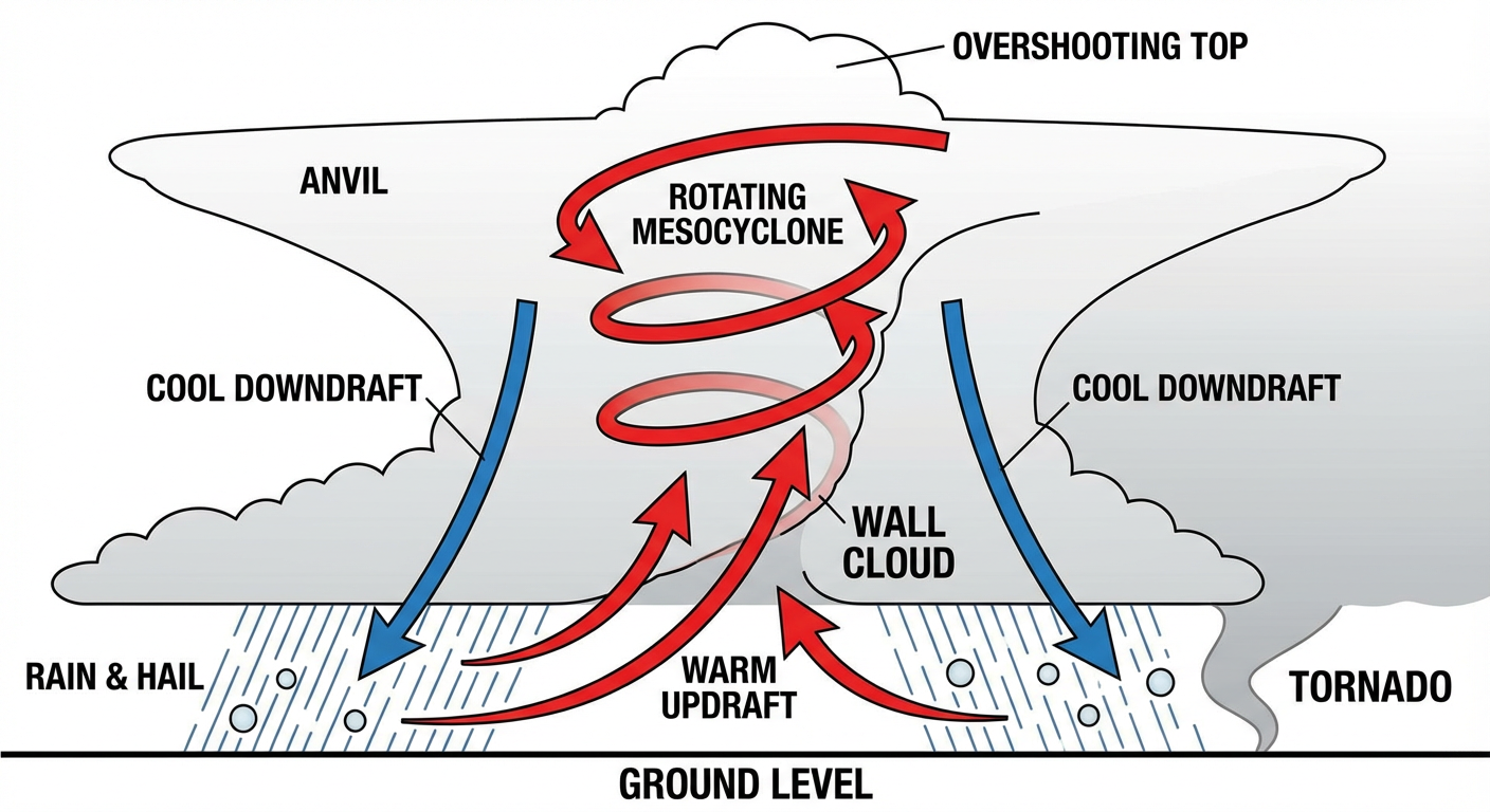
Friday is the day that really has my attention. The Storm Prediction Center has an Enhanced Risk drawn up for northern Oklahoma, eastern Kansas, Missouri, Iowa, and northwest Illinois. A strong upper trough is going to eject out of the Rockies, and all severe hazards will be on the table.
Bottom Line
Yesterday proved why you have to respect every risk category. A Slight Risk means scattered severe storms are possible. It does not mean the storms that do form will be weak. When you hear about an 88 mph wind gust and 3.25-inch hail, you know the atmosphere had plenty of energy to work with. Keep your weather radios on, and have your safe place ready for Friday.