Blog Article
April 23, 2026 Severe Weather Recap: Tornadoes & Large Hail
A full recap of the April 23, 2026 severe weather outbreak. Read about the 18 reported tornadoes, PDS warnings in Oklahoma, and baseball-sized hail.
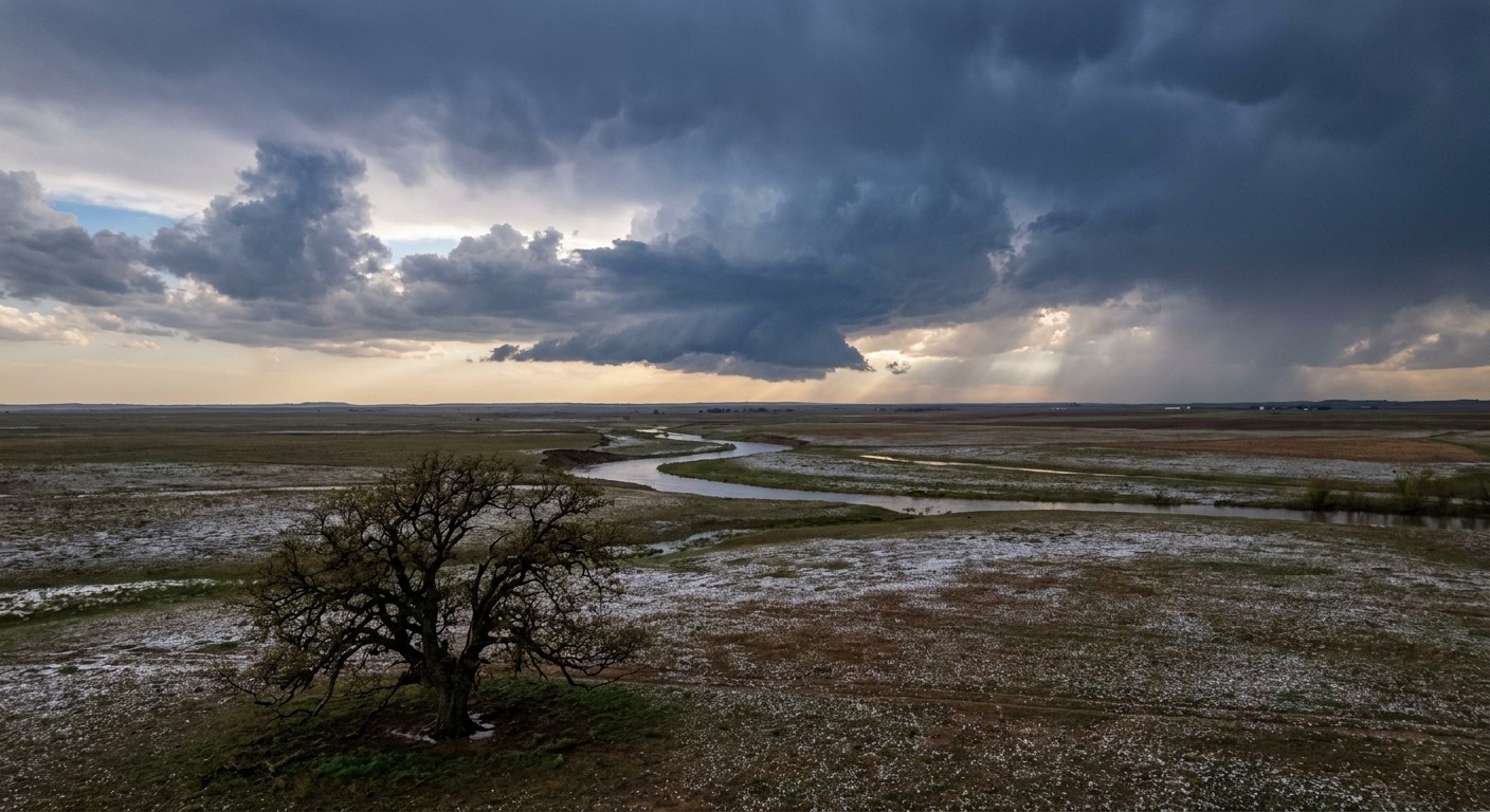
A Rapid Escalation in the Plains
Y'all, yesterday escalated fast. The atmosphere showed its hand by the afternoon, and we ended up with 18 reported tornadoes across the Central Plains and Mid-Missouri Valley. The headline of the day was a Particularly Dangerous Situation (PDS) Tornado Warning issued for Enid, Oklahoma, right near Vance Air Force Base. When the National Weather Service issues a PDS warning, you know the threat is immediate and severe.
How the Day Unfolded
The day actually started with extreme fire and wind hazards out West. We saw a rare PDS Red Flag Warning in Colorado and South Dakota. The wind was howling long before any storms fired up. We recorded an 86 mph non-thunderstorm wind gust just south of Sibley Peak, Wyoming.
By the late afternoon, the convective severity spiked sharply. Storms erupted across Kansas, Oklahoma, and Iowa.
Here is what the ground truth showed us:
- Oklahoma: Broadcast media reported a tornado with a satellite tornado near Braman. We also had a brief tornado reported near Newkirk.
- Iowa: Spotters and emergency managers tracked several tornadoes on the ground. Slater, Mitchellville, and Riverton all had reported touchdowns. In Weldon, law enforcement reported a tree down on a house with power lines snapped.
- Kansas: Emergency managers reported a tornado near Dunlap that damaged at least three homes near Lake Kahola.
- Giant Hail: We saw baseball-sized hail, about 2.75 inches across, smashing into Marion, Kansas, and Deer Creek, Oklahoma.
Get this. Right at the peak of the domestic severe weather outbreak, the sun threw an X-class solar flare. We also recorded a 4.8 magnitude earthquake in Nevada and a 4.0 quake in Missouri. It was a highly unusual day across the board.
The Forecast vs. Reality
In our previous outlook, we talked about how the atmosphere was reloading for a busy weekend. We knew the Central Plains were in the crosshairs. The models hinted at a volatile setup, and Thursday proved the ingredients were already in place. The storms did exactly what the environment allowed them to do. The rapid transition from dry, windy conditions to severe supercells is a textbook Plains spring setup.
What Comes Next
The pattern is not done with us. Today, the Storm Prediction Center has an Enhanced Risk over southeast Oklahoma and the ArkLaTex region. We are looking at a serious threat for very large hail and damaging winds.
Tomorrow, that Enhanced Risk shifts back over Tulsa, Fort Smith, and Edmond. By Sunday, the surface low pivots, and the severe threat moves north into Kansas and western Missouri.
Bottom Line
Yesterday was a stark reminder of how fast a quiet afternoon can turn into a dangerous evening. We saw significant impacts from wind, fire, and tornadoes all in a 24-hour window. The severe weather threat is going to persist right through the weekend. Keep your phones charged, have multiple ways to receive warnings, and know your safe place before the sirens sound.