Blog Article
April 25, 2026 Severe Weather Recap: Texas & OK Tornadoes
A complete recap of the April 25, 2026 severe weather event, including a PDS Tornado Warning in Texas, Mississippi EF1 tornadoes, and 3-inch hail.
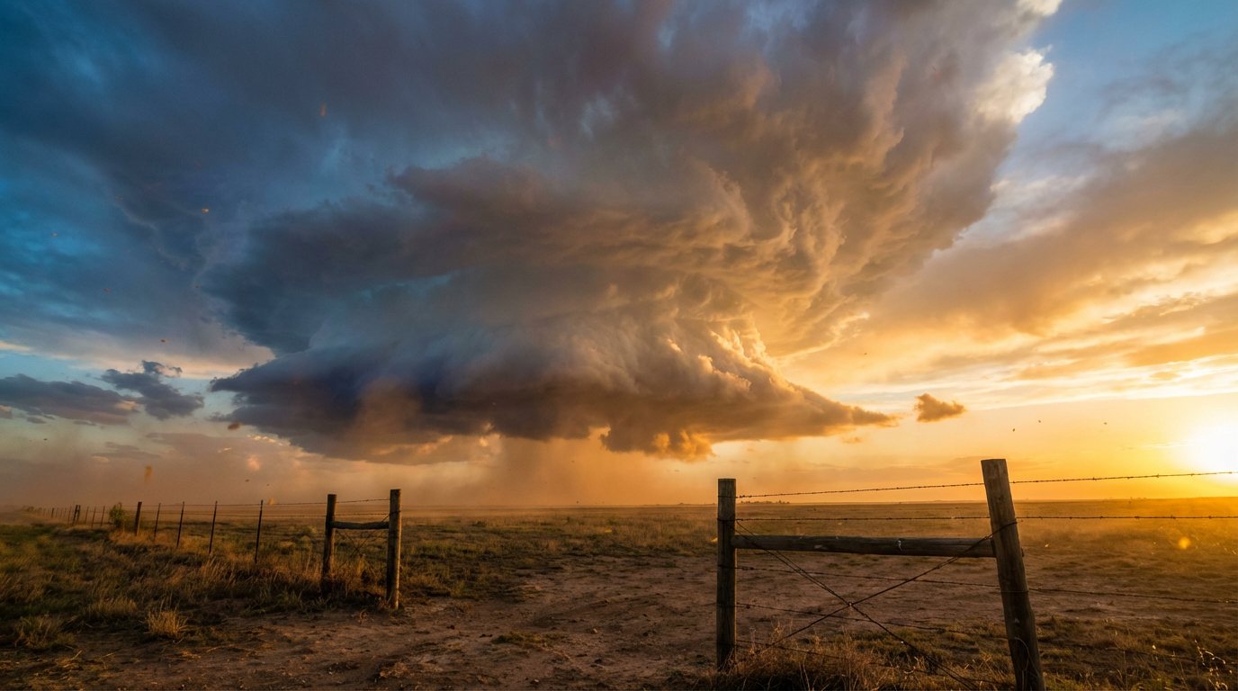
Y'all, yesterday escalated in a hurry. We watched the atmosphere do exactly what the data suggested it would across the Southern Plains. The most intense moment came when a Particularly Dangerous Situation (PDS) Tornado Warning was issued for Clay County, Texas, right after broadcast media confirmed a large tornado near Windthorst.
Here is a look at how the day unfolded and what we are tracking next.
The Timeline of April 25
The day started rough in the Deep South before the sun even had a chance to do much heating. An NWS Storm Survey reported three separate EF1 tornadoes in Mississippi during the morning hours. The first was in Clear Branch, packing max winds of 90 mph and uprooting several trees. Another EF1 tornado began east of Crystal Springs, where max winds hit 100 mph and a tree fell on a house. A third EF1 tornado tracked near Merit with 105 mph winds, snapping trees along a 2.7-mile path.
Things stabilized for a few hours around midday. That quiet window did not last.
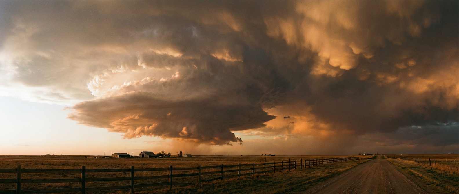
By the evening, the dryline fired up and the Southern Plains lit up with severe thunderstorms. Law enforcement reported two tornadoes on the ground north-northeast of Shannon, Texas. We also had confirmed tornadoes reported by storm chasers and broadcast media near Hickory, Reagan, and Roff, Oklahoma.
The hail was just as destructive as the wind. A storm chaser measured 3.00-inch hail in Lakeside City, Texas. We also saw a measured 75 mph wind gust recorded at Ship Island, Mississippi, and another 75 mph gust out in Iuka, Kansas.
Water and Earth Issues
Severe thunderstorms were not the only problem yesterday. We saw major flooding sustained on the Fox River at the Algonquin Lock and Dam in Illinois, with an observed stage of 12.0 feet.
Down in the Southwest, a Flash Flood Watch was issued for El Paso, Texas, and Dona Ana County, New Mexico. This was due to the potential failure of the Cement Lake Dam. It is rare to see simultaneous major river flooding in the Midwest, critical dam failure concerns in the Southwest, and a high-end severe weather risk in the Plains all on the same day.
Forecast vs. Reality
In our previous update, we talked about how this storm system was going to shift its severe threats toward Kansas and the Midwest. That forecast is verifying right now. Yesterday's setup in Texas and Oklahoma produced the highly localized, intense supercells we expected. Now, the main energy is lifting north.
Today, the Storm Prediction Center has an Enhanced Risk over parts of the Central Plains, including Kansas City, Wichita, and Topeka. The data shows a hatched risk for large hail in this area.
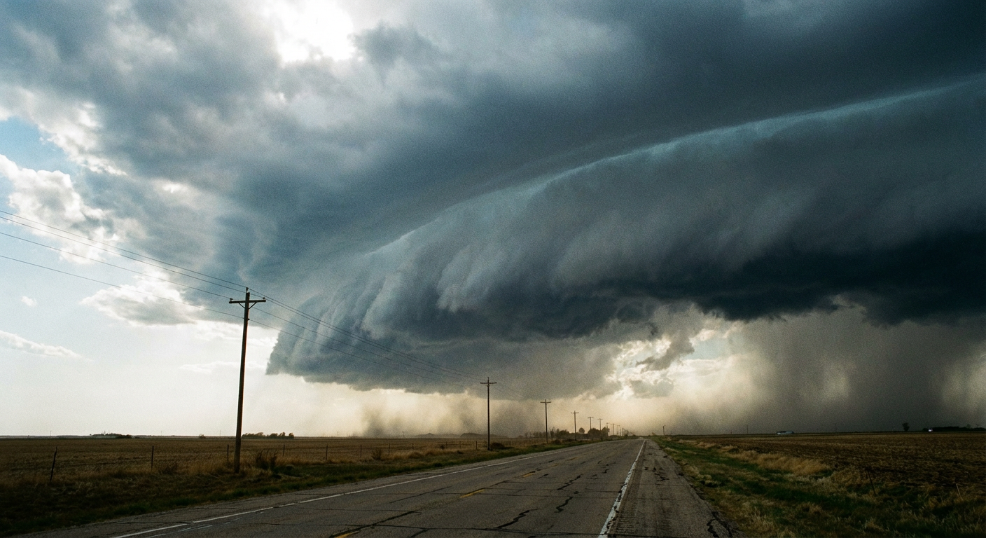
By Monday afternoon, the severe threat shifts east into the Middle Mississippi Valley. We have another Enhanced Risk in place for tomorrow covering Chicago, St. Louis, and Aurora. The SPC is highlighting a massive 45 percent probability for severe wind gusts in this region. Heavy rain training over the same areas could also drop significant rainfall, and the Weather Prediction Center has a Slight Risk for excessive rainfall primarily over southeast Iowa and northern Illinois for Monday.
Bottom Line
This is a large, multi-day storm system. The same energy that produced tornadoes in Texas and Oklahoma yesterday is driving the severe wind threat for the Midwest on Monday. If you are in Illinois or Missouri, use today's quiet weather to secure loose items in your yard. Have multiple ways to receive warnings that will wake you up if you are asleep.