Blog Article
April 26, 2026 Severe Weather Recap: Tornadoes & Hail
A complete meteorological recap of the April 26, 2026 severe weather event. We break down the Texas tornadoes, 90 mph winds, and DFW flash flooding.

A Texas-Sized Mess and Plains Spin-Ups: April 26 Recap
Y'all, yesterday was a heavy one. We saw the atmosphere do exactly what the data suggested, and the results were serious. The most intense moment of April 26, 2026, came out of Springtown, Texas. We had measured wind gusts hitting 89 to 90 mph. That kind of wind brought down around 800 trees and trapped motorists, requiring rescue operations.
Let us walk through how Sunday unfolded.
The Timeline of the Threat
Things started escalating in the afternoon. The atmosphere was incredibly unstable. We saw early reports of massive hail, including tea cup size stones measuring 3.5 inches near Bells, Texas. Iowa Park was not far behind with 3-inch hail.
As the evening pushed on, the low-level jet strengthened. That is when the tornado threat really woke up. We had confirmed tornado touchdowns reported near Wichita Falls in Texas, plus a cluster of reports up in southeast Kansas near Neodesha, Elk City, and Altamont. Over in Oklahoma, spotters and storm chasers confirmed tornadoes near Foraker and Bigheart.
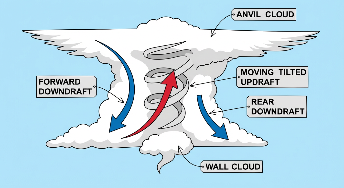
While the wind and hail were tearing up the skies, the ground was taking on water fast. Tarrant County, Texas, saw 3.5 to 5.0 inches of rain in just a 12-hour window. That led to life-threatening flash flooding and multiple high-water rescues right in the Dallas-Fort Worth metroplex. We also had a tragic medical emergency in Clay County, Missouri, involving a child reportedly struck by lightning.
Forecast vs. Reality
We have to look back at what we expected versus what actually happened. In yesterday's forecast, we specifically warned about hail the size of baseballs and up to 5 inches of rain flooding out parts of the DFW area. That verified almost exactly. The data showed us the ceiling for this event, and the atmosphere hit it.
One thing that stood out was the sheer size of the weather contrast across the region. While the Plains dealt with destructive storms, the Southwest was bone dry. New Mexico and West Texas saw extremely critical fire weather with non-thunderstorm wind gusts hitting 69 mph.
What Comes Next
The storm system that caused yesterday's mess is not done. It is pulling a ton of moisture northward today, April 27. The Storm Prediction Center has issued a Moderate Risk for severe weather across parts of Missouri and Illinois, including the St. Louis area. We are looking at a 45 percent probability for severe wind gusts and a 15 percent hatched risk for tornadoes.
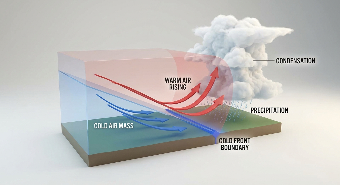
By Tuesday, the focus shifts back down south. A Slight Risk covers a large corridor from Dallas through Memphis and up into Nashville. Expect widespread damaging winds and heavy rain to be the main threats as that line moves through.
The Bottom Line
Yesterday proved why we take high-end moisture and instability seriously. The transition from large hail in the afternoon to tornadoes and flash flooding by evening was a textbook escalation. If you live in the Midwest today or the Mid-South tomorrow, you need to have your weather radios on and a plan in place. The pattern remains highly active, and we need to stay ready.