Blog Article
May 09, 2026 Weather Recap: OK Hail & NC Tornado
A complete recap of the May 09, 2026 severe weather events, including baseball-sized hail in Oklahoma, a confirmed tornado in North Carolina, and Gulf Coast flooding.
The May 09, 2026 Weather Recap
Y'all, Saturday was one of those days where the atmosphere decided to show off a little bit of everything. We spent a lot of time in our last forecast talking about the big Mother's Day setup in Texas. While everyone was watching that system gather strength, Saturday delivered its own set of serious impacts across the country.
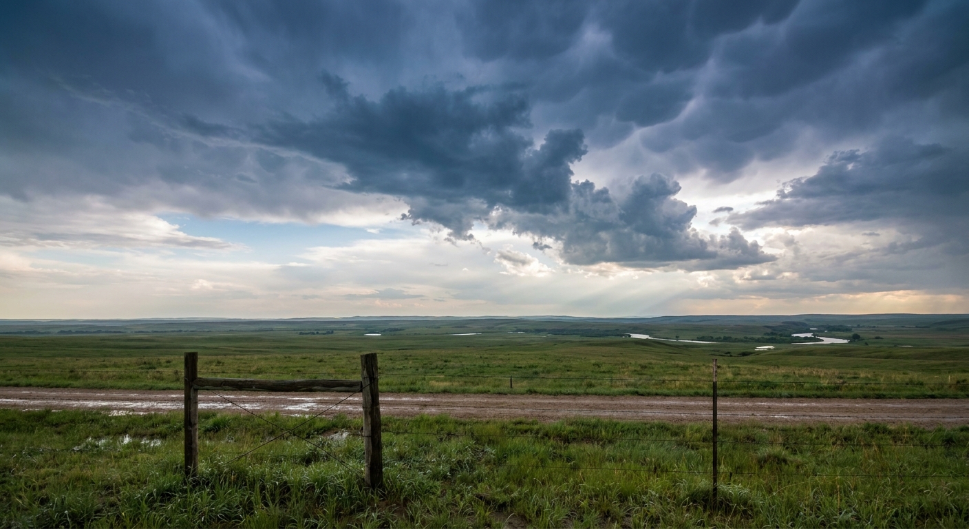
How Saturday Unfolded
The day started with isolated supercells firing up in the Southern Plains. By the afternoon, things escalated quickly in western Oklahoma. We saw 2.75-inch hail, which is right at baseball size, falling in Sayre and Elk City.
As the sun went down, those isolated storms merged into a heavy, organized line of storms known as a mesoscale convective system. That complex pushed across the region and brought some wild wind reports. We had a 63 mph wind gust in Oklahoma driven by a heatburst, and severe thunderstorm winds knocked down power lines near Elgin just after 9 PM local time.
The North Carolina Tornado
The most intense structural damage of the day actually happened on the East Coast. We had a confirmed tornado touchdown in Delco, North Carolina, just before 3:30 PM Eastern time.
The local 911 call center reported that two houses had their roofs blown off. A shop roof was also destroyed, and a propane tank took some damage along with a storage shed. We do not have an official rating from the National Weather Service yet, but the damage to those homes is a stark reminder of how fast these isolated tornadoes can spin up.
Gulf Coast Flooding and Wind
Down south, the issue was water. Southeastern Louisiana dealt with intense flash flooding. Parts of Iberia and St. Martin Parishes picked up 5 inches of measured rainfall. That was enough to force road closures as the heavy rain transitioned into a significant river flooding threat. We also saw some severe thunderstorm wind damage in the area, with pine trees snapped near Slidell and trees uprooted over in Diamondhead, Mississippi.
Forecast vs. Reality
In our previous blog, we focused heavily on the upcoming Sunday threat for Texas. We talked about the Storm Prediction Center holding firm on an Enhanced Risk for North and Central Texas, warning of 75 mph winds and two-inch hail. The reality is that Saturday acted as a potent preview. The atmosphere over Oklahoma and the Gulf Coast was primed and over-delivered in a few spots while the main system was still getting its act together.
A Quick Meteorology Lesson: The Heatburst
I want to talk about that 63 mph wind gust in Oklahoma. The data shows this was a non-convective wind event caused by a heatburst.
When a high-based thunderstorm starts to die, it drops rain into a very dry layer of air below it. That rain evaporates quickly, which cools the air. That cold, heavy air plummets toward the ground. As it falls, atmospheric pressure compresses it, heating it up rapidly. When it hits the surface, it spreads out as a hot, dry, and sometimes damaging wind gust. It is a fascinating piece of atmospheric physics.
What Comes Next
Now we have to look at today. The Mother's Day severe threat we predicted is officially here.
- Texas Severe Threat: The Storm Prediction Center has an Enhanced Risk over Central and North Texas today. The data shows a 30 percent probability for severe wind and hail. We are looking at the potential for 75 mph wind gusts and hailstones over two inches in diameter.
- Excessive Rainfall: There is a Slight Risk for excessive rainfall in that same Texas area today, so please watch out for flash flooding.
- Monday's Shift: Tomorrow, the severe threat drops to a Marginal Risk across the Southeast. Meanwhile, a Critical fire weather area will set up over eastern Montana and western North Dakota.
The Bottom Line
Saturday proved that you do not need a massive, high-risk setup to see baseball-sized hail or a damaging tornado. The atmosphere is highly dynamic right now. If you are in Texas today, you need to have a way to get warnings that will wake you up from a Sunday nap. Keep your phones charged and stay close to a safe room.