Blog Article
May 25, 2026 Severe Weather Recap: Flooding & Tornadoes
A complete recap of the May 25, 2026 severe weather event, including the Mississippi flash flood emergency, Alabama tornadoes, and what is coming next.
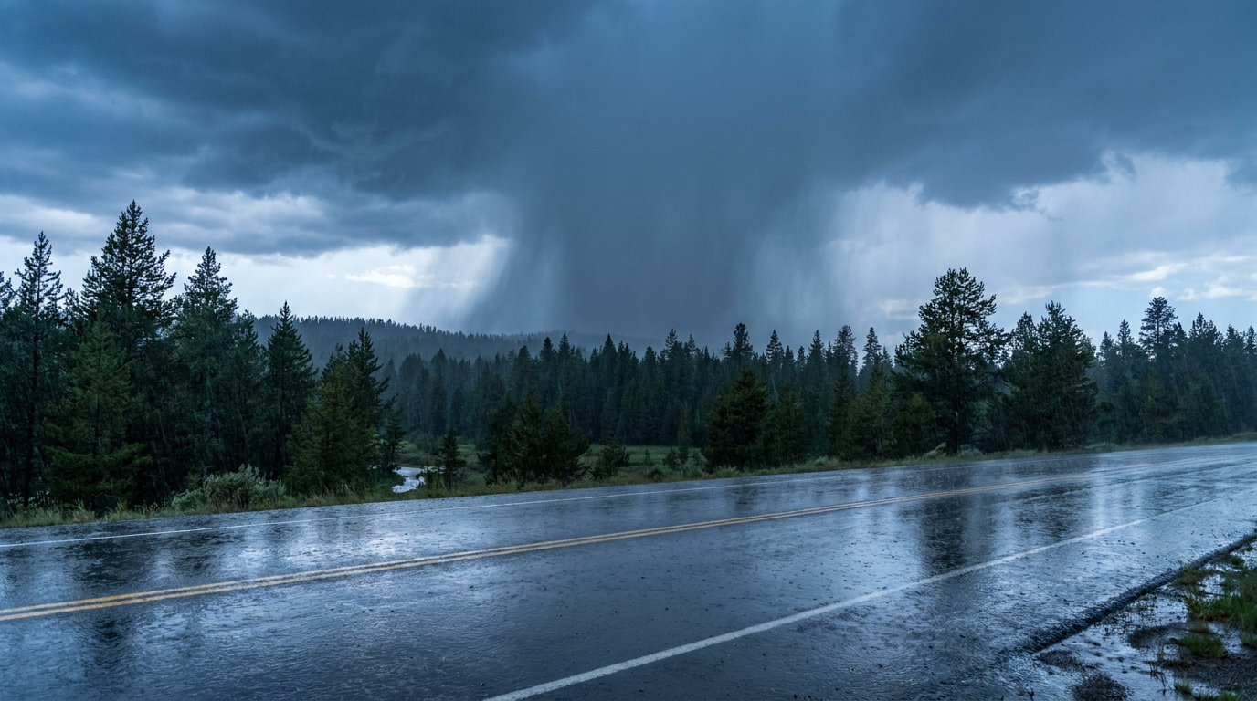
Alright folks, yesterday was a heavy one. The atmosphere had a lot of moisture to work with, and it used every drop. We started the day expecting heavy rain across the Gulf Coast, but the situation escalated into a life-threatening hydrological and tornadic event across the South.
Here is a look at exactly what happened on May 25, 2026, and how it compared to the forecast.
The Water and the Wind
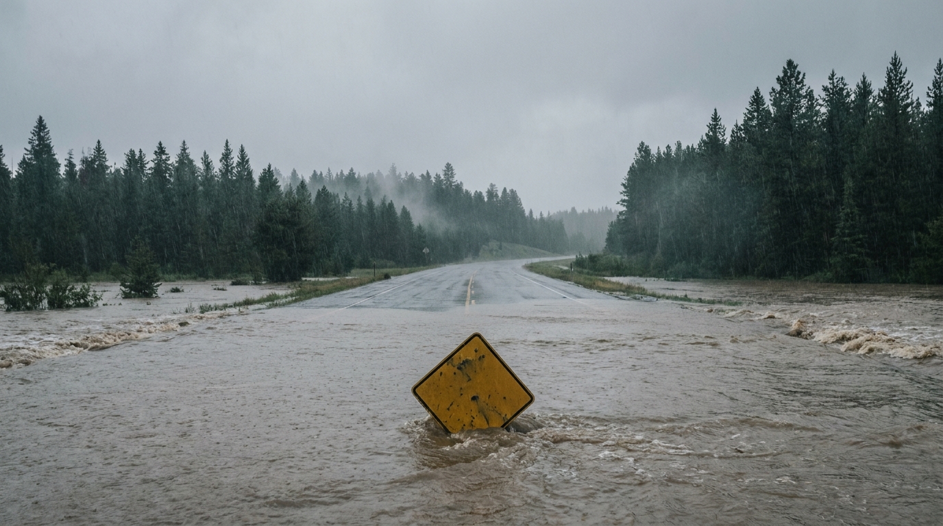
The most severe impacts yesterday came from the sheer volume of water. The National Weather Service had to issue a Flash Flood Emergency for Forrest and Lamar Counties in Mississippi. That is the highest tier of flood alert they have. The flooding there was catastrophic, and sadly, we have one confirmed fatality from that area.
Over in Texas, the radar estimated 5 to 7 inches of rain falling across Hamilton and Bosque Counties. That triggered life-threatening flash flooding in central Texas.
While the water was rising, the wind was spinning. Down in southeast Alabama, a radar-confirmed tornado moved through Henry County. This was a powerful storm. Dual-pol radar picked up a Tornado Debris Signature reaching up to 10,000 feet in the atmosphere. Emergency managers reported a collapsed home and downed trees near Headland. Another tornado hit the WDHN TV station in Webb and caused roof damage to homes near Smyrna.
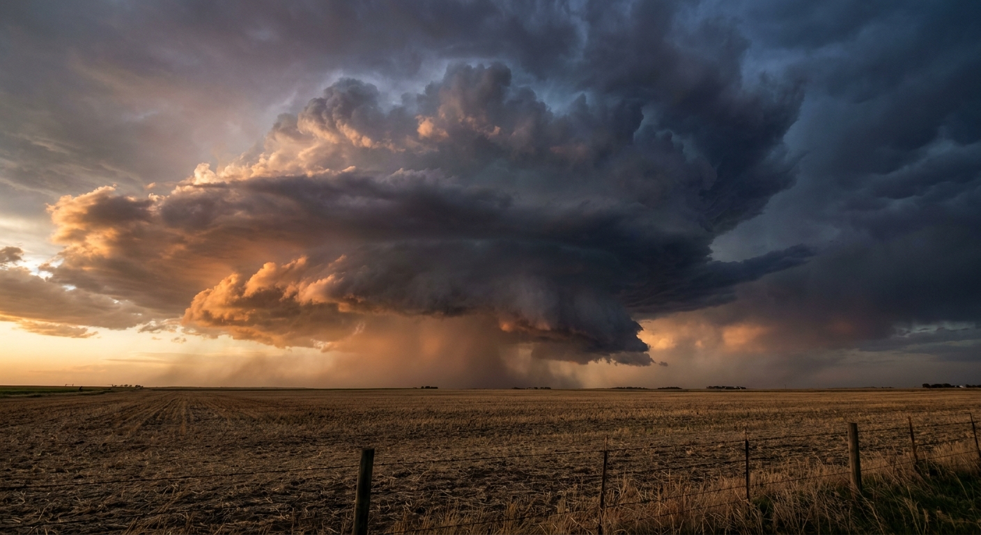
We also saw multiple waterspouts form off the Florida Panhandle, with public and law enforcement reports confirming spouts near Miramar Beach, Blue Mountain Beach, and Destin.
Surprises Outside the South
The severe weather was not confined to the Gulf Coast. We saw some highly unusual reports out West and up North:
- Boise, Idaho: Severe thunderstorm winds ripped the roof off a cargo building at the Boise Airport.
- Freeman, South Dakota: Social media reports confirmed hail two inches in diameter.
- Woodruff, Arizona: Observers documented a landspout tornado with ground circulation 10 miles east-northeast of town.
- Yakutat, Alaska: The NWS issued an unseasonable Frost Advisory for temperatures hitting 32 degrees.
Forecast vs. Reality
Yesterday morning, our blog predicted that the central Gulf Coast and central Texas would take the brunt of the heavy rain. The Weather Prediction Center had a Slight Risk for excessive rainfall posted for those exact areas. We noted that dropping three to five inches of rain on saturated soils would cause problems. That forecast verified perfectly, though the catastrophic nature of the Mississippi flooding exceeded the baseline expectations of a Slight Risk.
The tornado threat in Alabama escalated very quickly. While severe storms were in the forecast, seeing a debris signature lofted to 10,000 feet means a highly organized, established vortex formed. Warning lead times were critical there.
What Comes Next
The weather pattern is not breaking yet. Today, the Storm Prediction Center has a Level 2 Slight Risk for severe storms out in West and Southwest Texas. Places like Midland, Odessa, and San Angelo need to be on alert. We are watching a 5 percent probability for tornadoes and a hatched area where hail could exceed two inches in diameter.
By Wednesday, the severe focus shifts east. We are looking at a Level 1 Marginal Risk for damaging wind gusts across Virginia, Maryland, and northeast North Carolina. At the same time, the Ohio Valley joins the flood watch, with a Slight Risk for excessive rainfall stretching through Indiana, Ohio, and West Virginia.
Bottom Line
The ground across the Deep South and Texas is completely full. Any new rain is going straight into runoff. If you live near a creek, a bayou, or a low-lying area, you have to respect the water right now. Have multiple ways to get warnings, and do not drive around barricades. The atmosphere is still loaded, and we have a few more days of this pattern to get through.