Blog Article
May 29, 2026 Severe Weather Recap: Tornadoes and Wind
A complete recap of the severe weather on May 29, 2026, including a reported tornado in Colorado and damaging winds across the Pacific Northwest.
A Busy Day from the Northwest to the Plains
Y'all, yesterday was a prime example of how severe weather does not just stick to one region. We had a morning wind event in the Pacific Northwest that left a mess, and then the afternoon brought a reported tornado to the Colorado plains.
Here is exactly how May 29 unfolded.
The Timeline and Ground Truth
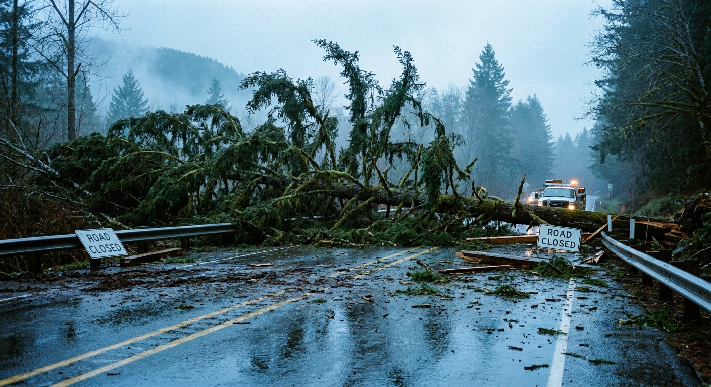
The day kicked off with some intense wind out west. Up in Washington state, local officials reported trees completely blocking State Route 25 near Evans, and we had downed powerlines near Winchester. That morning system caused widespread infrastructure issues across the Inland Northwest.
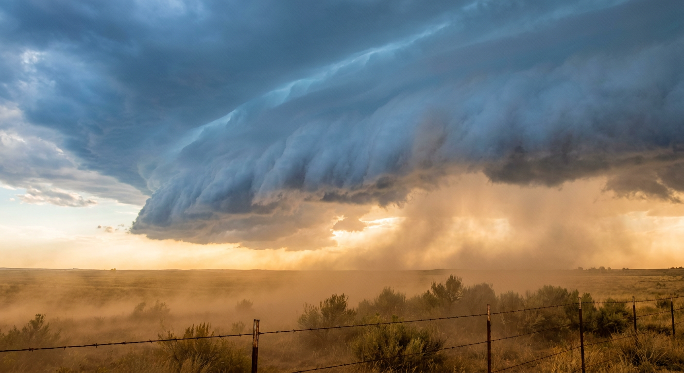
By the afternoon, the atmosphere destabilized over the Central High Plains just like the Storm Prediction Center forecast. We had a Slight Risk posted, and the storms fired right on cue. The most notable report came from an NWS employee who spotted a tornado near the New Windsor Reservoir in Colorado.

The wind damage was not isolated to the west. Out in Schoenchen, Kansas, straight-line winds grabbed a shed and moved it 20 feet. We even saw severe thunderstorm wind damage stretch all the way into New York by the evening, with reports of snapped power poles in New Hope and trees down on a house in Cazenovia.
Forecast vs. Reality
In our previous update, we talked about the hatched areas for big hail and 75 mph winds across the Central High Plains down through Kansas and Oklahoma. The forecast had a very good handle on the overall setup. The wind threat certainly verified, as seen by the structural damage in Kansas and the widespread tree damage.
We also mentioned watching the East Pacific for tropical development. Get this. That broad area of low pressure is now sitting at an 80 percent probability of forming into a tropical depression over the next seven days. The models were right to pick up on that early.
What Comes Next
The severe weather threat is not over for the weekend.
- Today (May 30): The SPC has another Slight Risk up for the Central High Plains into central Kansas and north-central Oklahoma. We have a 15 percent chance for severe hail, and there is a hatched area where hailstones could exceed two inches.
- Sunday (May 31): The main mid-level energy lifts northward. We are looking at a Slight Risk for the Mid-Missouri Valley, including places like Omaha and Sioux Falls.
- Heavy Rain: The Weather Prediction Center has a Slight Risk for excessive rainfall up in Montana today, where we could see rainfall rates over an inch per hour.
Bottom Line
May 29 delivered a one-two punch of morning winds in the Northwest and afternoon severe storms in the Plains. The forecast was largely accurate, especially regarding the wind threat and the tropical development in the Pacific. For today and tomorrow, folks in the Plains and Missouri Valley need to keep a close eye on the radar for large hail and damaging wind gusts.