Blog Article
May 31, 2026 Severe Weather Recap: South Dakota Tornadoes
A complete recap of the May 31, 2026 severe weather outbreak, featuring confirmed tornadoes in South Dakota, grapefruit-sized hail, and 70 mph winds.
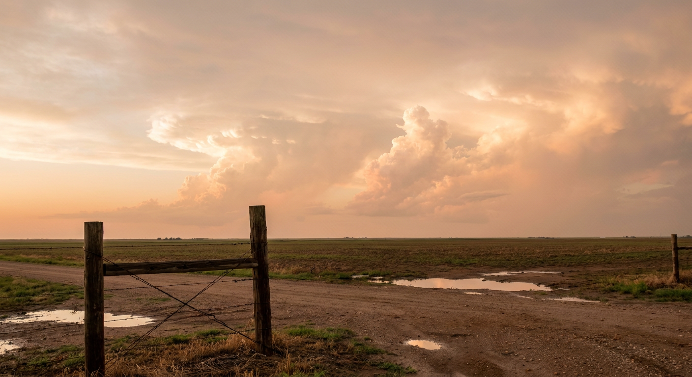
The May 31 Severe Weather Outbreak
Y'all, yesterday was one of those days where the atmosphere did exactly what the data suggested it would do. We had a multi-hazard severe weather event develop across the Central and Northern Plains by the evening of May 31, 2026.
Let me walk you through how this unfolded. The day actually started quiet for most folks. We had a weakening storm system in the Plains and some late-season frost up in New England. We saw a midday lull, which is exactly what we expect before the atmosphere recharges. By the evening hours, things escalated quickly.
Ground Truth: What Actually Happened
We ended up with four confirmed tornado reports yesterday. Storm chasers observed a tornado on the ground near Centerville, South Dakota, moving east at about 10 mph. We also had a radar-confirmed tornado near Wall Lake, South Dakota, and another visual confirmation near Bridgewater where chasers saw dust getting kicked up. Down in Kansas, the public reported a tornado near Madison via social media.
The hail was a massive part of the story. We saw a report of 3.5-inch hail just north of Wellfleet, Nebraska. That is grapefruit-sized ice falling from the sky, and it is a significant severe event for that region.
Over in Missouri, the wind took over. We measured 70 mph wind gusts in Glenallen and Cape Girardeau, which caused some structural damage. Law enforcement and the public also reported downed trees and snapped powerlines in places like Dixon, Doe Run, and Junction City.
Down south, we saw a waterspout off Cudjoe Key in Florida that lasted for about six minutes. We also saw Flash Flood Warnings issued for the New Orleans metro and the Florida Panhandle after they picked up 3.5 inches of rain.
The Forecast vs. Reality
If you looked at the forecast parameters yesterday morning, you knew the atmosphere was working overtime. The prediction called for supercells capable of producing very large hail and isolated tornadoes in the Plains, alongside damaging wind gusts. That is exactly what materialized. The forecast was spot on, and hopefully, that heads-up gave folks the time they needed to prepare.
What Comes Next
The severe weather engine is not shutting down just yet. Here is what we are looking at for the next couple of days.
- Today (June 1): The Storm Prediction Center has a Level 2 out of 5 Slight Risk posted for two areas. One covers the Central Plains, and the other covers the Mid-South. We are looking at a 15 percent probability for damaging winds up to 60 mph and severe hail.
- Tuesday (June 2): The main threat shifts north. The Dakotas need to be ready for supercells capable of producing very large hail. The SPC has a hatched area for hail two inches or larger. We also have a Slight Risk for excessive rainfall and flash flooding in West Texas and eastern New Mexico.
Bottom Line
Yesterday proved why we pay attention to the forecast parameters even when the morning starts out quiet. The transition from a midday lull to a severe outbreak happened fast. As we move into the first few days of June, folks in the Plains and the Mid-South need to keep their weather radios handy and have a plan in place.