Blog Article
June 01, 2026 Severe Weather Recap: KC Winds & Tornadoes
Recap of the June 01, 2026 severe weather event, including an 82 mph wind gust in Kansas City, tornado reports in Kansas, and a look at today's forecast.
The Kansas City Wind Gust and Plains Tornadoes
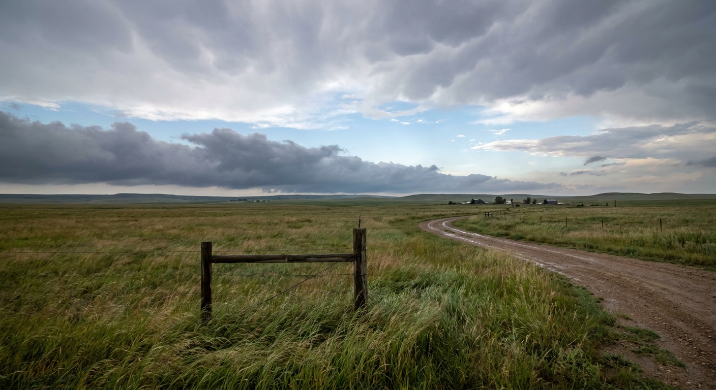
Y'all, yesterday was a classic example of how quickly a weather setup can shift gears. We started June 01, 2026, watching isolated severe cells, and ended the night dealing with a widespread, wind-driven complex of storms that left a mark across the Central United States.
The standout moment happened right in the heart of a major metro area. The Kansas City Downtown Airport clocked a measured wind gust of 82 mph. Winds that strong in an urban environment are a big deal, and they perfectly illustrated the destructive wind threat we were tracking as the sun went down.
How The Day Unfolded
The morning actually kicked off down south with some marine warnings. Folks down in the Florida Keys spotted a couple of waterspouts near Islamorada and Bahia Honda Key just before lunchtime. But as the afternoon heated up, the main show got going in the Plains.
By the late afternoon, storm chasers reported a tornado on the ground with a broad circulation about nine miles northeast of Mitchell, Nebraska. Shortly after that, a spotter confirmed an "elephant trunk" tornado near Olpe, Kansas.
As evening set in, the atmosphere did exactly what the data suggested it would. Those isolated cells merged into a widespread nocturnal mesoscale convective system, or MCS. This line of storms surged east, expanding the threat from tornadoes to destructive straight-line winds and flash flooding.
- Extreme Winds: Aside from the 82 mph gust in Kansas City, a station 10 miles south of Dighton, Kansas, measured an 80 mph gust.
- Flash Flooding: The heavy rain took a toll in central Missouri. The fire department had to conduct a boat rescue for a motorist trapped in floodwaters in Boone County.
- Southern Impacts: The wind threat extended well into the Southeast. Emergency managers reported multiple trees down across northern Alabama, including Gadsden and Wetumpka, causing widespread power outages.
Ground Truth: What We Expected vs. What Happened
When we look back at the forecast, the transition from discrete supercells to a bowing line of wind-makers was well anticipated. The atmosphere followed the script. However, seeing an 82 mph gust verify directly over a major downtown airport is always a sobering reminder of why we take these nocturnal wind threats seriously. The severe threat shifted exactly as modeled, and the warning lead times were crucial for folks in the path of that MCS.
What Comes Next
The severe weather threat is not over, but it is shifting north. For today, June 02, the Storm Prediction Center has a Slight Risk posted for parts of the Northern Plains, specifically covering the Dakotas and western Minnesota.
Here is what you need to know about today's setup:
- Large Hail: The main hazard is large hail. The environment supports hailstones up to two inches in diameter, which is about the size of a hen egg.
- Tornado Threat: There is a 5 percent tornado probability area covering parts of the Dakotas. If a storm gets going by itself before merging into a line, an isolated tornado is absolutely possible.
- Heavy Rain: Down south, the Weather Prediction Center has a Slight Risk for excessive rainfall over West Texas and eastern New Mexico today and tomorrow. It only takes a few inches of moving water to float a car, so turn around if you see water over the road.
Out in the tropics, we are also keeping an eye on the Eastern Pacific. An area of low pressure southwest of the Baja California Peninsula has a 90 percent chance of developing into a tropical depression over the next week.
The Bottom Line
Yesterday proved once again that nighttime storm complexes are nothing to mess with. The transition from afternoon tornadoes to nighttime wind and flooding is a classic late-spring pattern. As the threat moves up into the Dakotas today, make sure you have a way to get warnings that will wake you up if you are in that Slight Risk area.