Blog Article
June 03, 2026 Severe Weather Recap: SD Tornadoes & Wind
A complete weather recap of June 03, 2026, including the 84 mph wind gust in Frederick, SD, reported tornadoes, and what to expect next across the Plains.
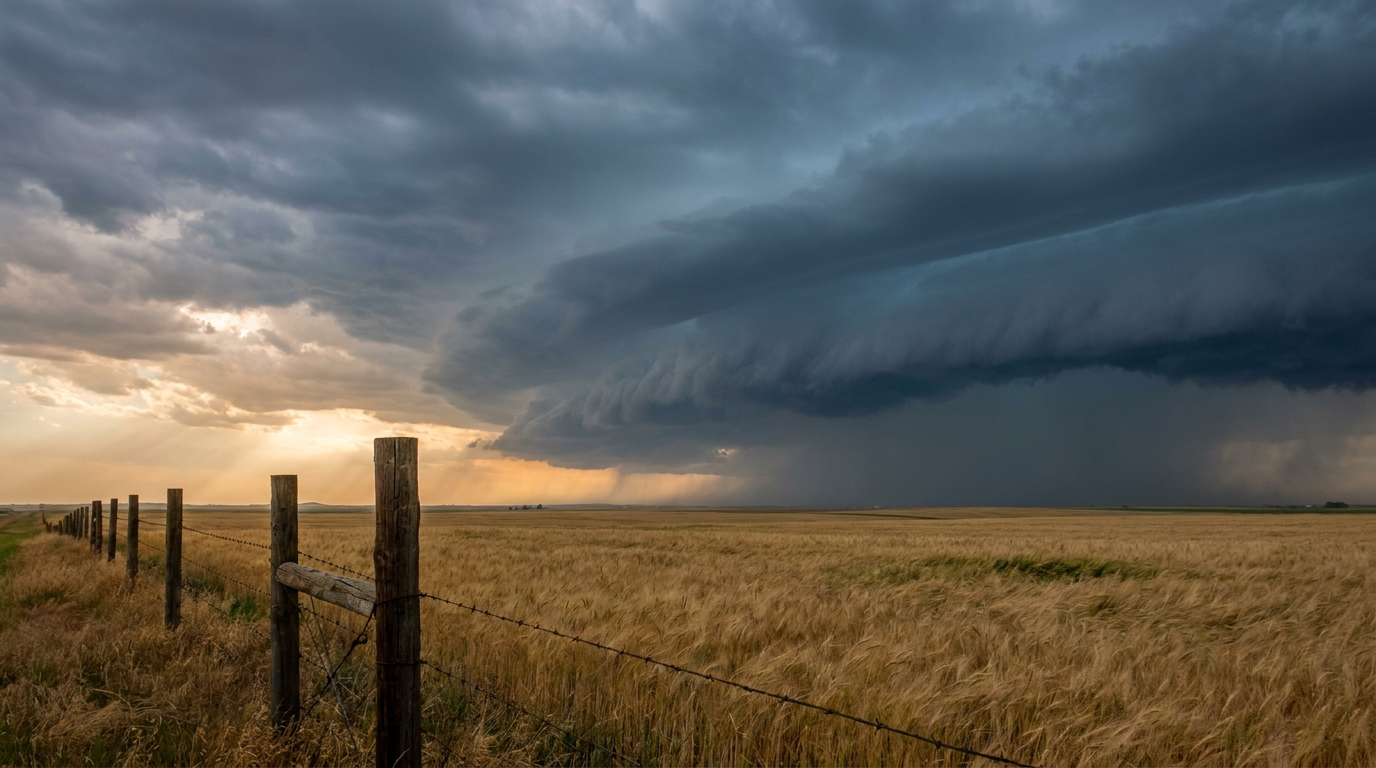
Y'all, yesterday was an active one across the Plains. The atmosphere did exactly what the data suggested it would. We saw isolated severe threats early in the day, but by the evening hours, things escalated quickly into a high-end wind and tornado event across the Northern Plains.
South Dakota Takes the Brunt
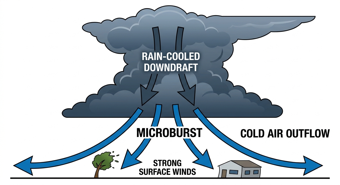
Frederick, South Dakota was the focal point for the wind damage yesterday. An 84 mph wind gust was measured in town. That is the kind of wind that causes real, structural problems. Emergency managers and law enforcement reported several snapped trees, a blown-over radio tower, and a destroyed football scoreboard. A pergola even blew into a house and punched a hole right through the wall.
We also had two confirmed tornado reports from storm chasers in South Dakota. One tornado was reported near Ideal, and another was reported near Hamill. The Hamill tornado was on the ground for about five minutes.
Beyond the Plains
The severe weather was not the only thing happening yesterday. Out in New Mexico, we saw life-threatening flash flooding on the South Fork and Hermits Peak burn scars. Down in the Florida Keys, a well-defined waterspout spun up near Key West and lasted for about 10 minutes. We even had a Magnitude 5.7 earthquake off the coast of Oregon and an X1.0 solar flare.
Forecast vs. Reality
We talked about this setup in the previous forecast. We expected the Northern Plains to see significant impacts, and that is exactly what happened. The Storm Prediction Center had the risk areas highlighted well in advance. The wind threat was the main driver, just as expected. The 84 mph gust in Frederick verified the high-end wind potential we were concerned about.
The Setup is Stuck on Repeat
Here is the thing. We are not done yet. Today, the Storm Prediction Center has a Slight Risk posted for parts of the Northern Plains, including Rapid City and Aberdeen. There is a specific hatched area highlighting the risk for hailstones up to 2 inches across. We could easily see gusts over 60 mph again as this complex rolls east.
On Friday, this whole setup slides east into the Mid-Missouri Valley and Upper Midwest. Places like Omaha, Des Moines, and Rochester are in a Slight Risk. The wind threat actually goes up a notch tomorrow. The SPC has a hatched area for wind, meaning we could see significant gusts of 75 mph or higher. We are also keeping an eye on a continued heavy rain threat for eastern Nebraska and western Iowa, where storms could stall out and dump several inches of water.
Bottom Line
Yesterday proved that this weather pattern means business. The 84 mph gust in Frederick is a perfect example of why we take severe thunderstorm warnings just as seriously as tornado warnings. If you live in the Plains or the Upper Midwest, you need to have a reliable way to get warnings for the rest of the week.