Blog Article
June 06, 2026 Severe Weather Recap: Tornadoes & Bow Echo
A complete weather recap of the June 06, 2026 severe weather event, including Arkansas tornadoes, Mid-Atlantic wind damage, and Southern Plains flooding.
The Atmosphere Delivered on June 06
Y'all, yesterday was a heavy day. We had a destructive bow echo tear through the Mid-Atlantic and life-threatening flooding down in the Southern Plains. When you see radar-indicated 80 mph wind gusts in the Northeast at the exact same time folks are dealing with 7 inches of rain in Texas and Oklahoma, you know the atmosphere is working overtime.
How the Day Unfolded
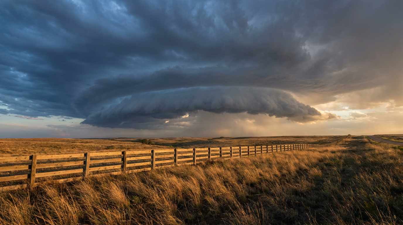
The day started with discrete severe cells in the Midwest. By the afternoon, those cells consolidated into a mean linear system. That line evolved into a bow echo and pushed right through high-population corridors in the Northeast.
The ground truth matches the radar. We saw multiple injuries from structural collapses in Pennsylvania and West Virginia. A lightning strike injured someone in Ohio. At the peak of the storms, over 48,000 customers lost power in southwestern Pennsylvania. Emergency managers and 911 call centers were busy logging downed trees and power lines from Steubenville, Ohio, all the way to Barnesville, Maryland.
!Diagram showing the anatomy of a bow echo and rear-inflow jet
Arkansas Tornadoes and Southern Flooding
Down south, the water was the main story for most of the day. Central Texas and eastern Oklahoma picked up 3 to 7 inches of rainfall. That much water in that short of a time leads to road washouts and water rescues, and that is exactly what happened.
But the severe threat was not just wind and rain. We had two confirmed tornado reports in Arkansas last night. Around 7:39 PM Central Time, the NWS reported a tornado crossing Highway 10 near Excelsior. The radar showed a Tornado Debris Signature, and we got reports of damage to trees and a barn roof. Less than an hour later, an emergency manager reported another tornado north of Barling, Arkansas. This one was backed up by spotter photos and another likely debris signature on radar.
The Forecast vs. Reality
In yesterday's morning update, we talked about the ongoing structural damage in Pennsylvania and the serious wind gusts across the Mid-Atlantic. The forecast was spot on. The system maintained its intensity and delivered exactly the kind of wind damage we expected. We did not sugarcoat the threat, and the 80 mph radar-indicated gusts proved why you have to take severe thunderstorm warnings seriously.
What Comes Next
Alright folks, now we have to look at today, June 07. The focus shifts up to the Northern Plains. The Storm Prediction Center has an Enhanced Risk up for parts of North Dakota and South Dakota.
Here is the thing. The main threats today are very large hail and damaging wind gusts. The data shows a 30 percent probability for damaging winds, and a hatched area means gusts could top 75 mph. We also have a 15 percent hatched area for hail, meaning hailstones 2 inches in diameter or larger are possible.
!Comparison plate of hail sizes from quarter to hen egg
Down in the Mid-Mississippi Valley and the Ozarks, the Weather Prediction Center has a Slight Risk for excessive rainfall. The ground is already saturated in some of these spots, so flash flooding is a real concern.
Also, keep an eye on the sky if you live up north. We have a G3 Geomagnetic Storm Watch in effect, and a coronal mass ejection is expected to arrive by June 08. If the skies clear out, you might see the northern lights over the next couple of nights.
Bottom Line
- A destructive bow echo caused widespread damage and over 48,000 power outages in Pennsylvania.
- Arkansas saw two confirmed tornado reports with radar debris signatures.
- Texas and Oklahoma dealt with up to 7 inches of rain and water rescues.
- Today, the severe threat shifts to the Dakotas with a risk for 75 mph winds and 2-inch hail.
Yesterday proved that when the ingredients come together, the atmosphere does exactly what it is built to do. Today brings a new setup for the Northern Plains. Have a way to get warnings, know your safe place, and respect the wind.