Blog Article
June 07, 2026 Severe Weather Recap: Floods & 100mph Winds
Read the June 07, 2026 weather recap. We break down the catastrophic flash flooding in Alabama, 100 mph winds in North Dakota, and Missouri tornado reports.
The June 07, 2026 Weather Recap: When the Sky Opened Up
Y'all, yesterday was a heavy one. If you lived in northern Alabama or the Northern Plains, you know exactly what I am talking about. The June 07, 2026 weather recap is a story of extremes. We had catastrophic water in the South and screaming winds up North.
Let us start down in Alabama. The rain just would not quit. Madison and Jackson counties ended up under a Flash Flood Emergency. That is the highest level of flood warning the National Weather Service issues. Huntsville saw catastrophic flash flooding after 5 to 9 inches of rain fell. We also saw massive water problems up in east-central Illinois. Vermilion Regional Airport recorded 7.5 inches of rain, and that led to home flooding and water rescues in Danville.
The Missouri Tornadoes: Early Reports vs. Ground Truth
Alright folks, here is where we need to talk about how weather information flows. Yesterday, early reports suggested a half-mile-wide tornado hit Springfield, Missouri. We talked about that in the morning update. But here is the thing about early reports. They are often based on radar signatures or initial panic in the dark.
The National Weather Service went out and did their storm survey. They found tree debris from an EF0 tornado southeast of Battlefield, Missouri. The actual width was 50 yards, and the max winds were estimated at 70 mph. We also had a radar-confirmed tornado near Sparta, Missouri, with trees down on the road. This is why we always wait for the official survey. The radar might look like a monster, but the ground truth tells the final story.
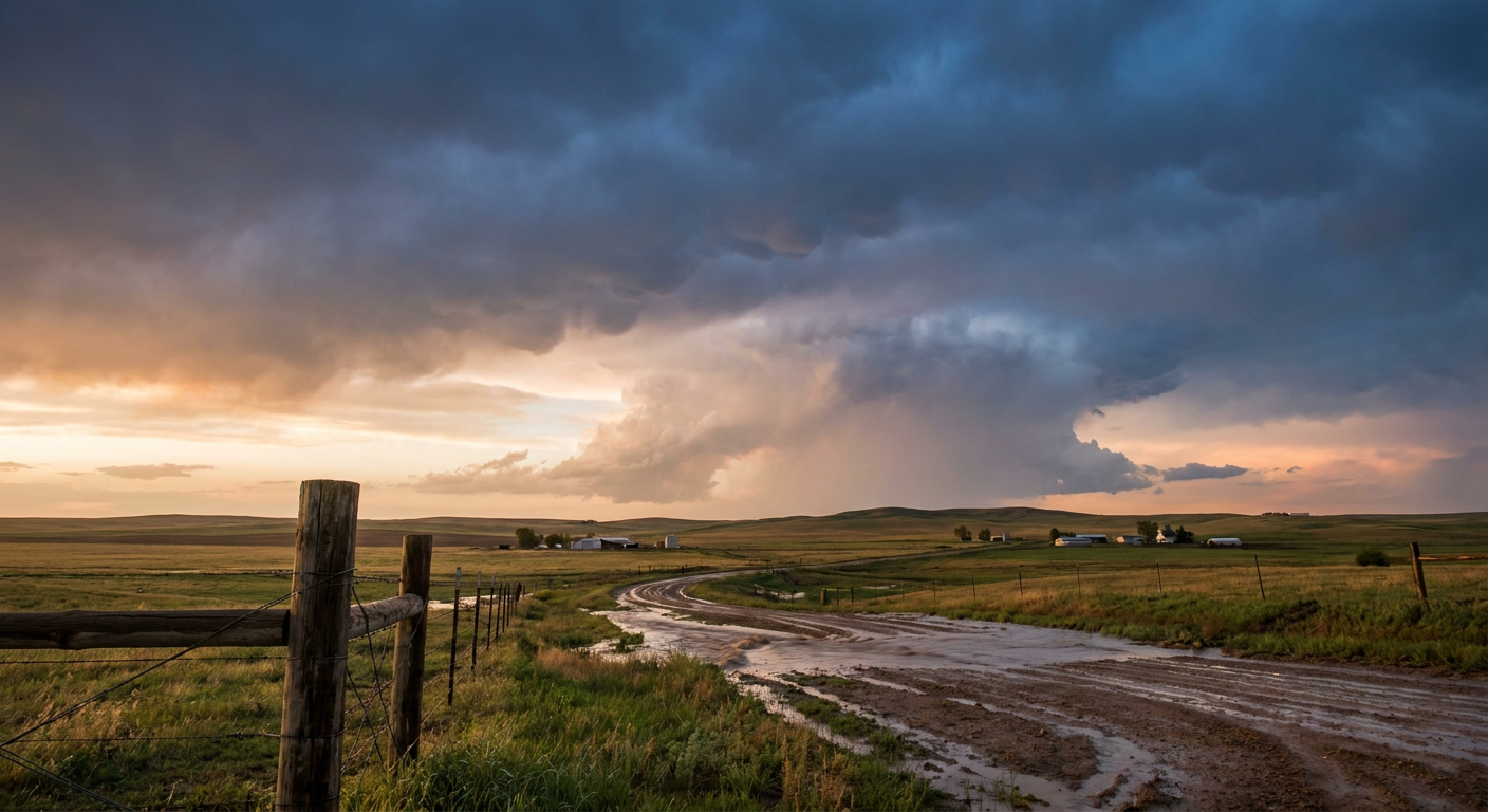
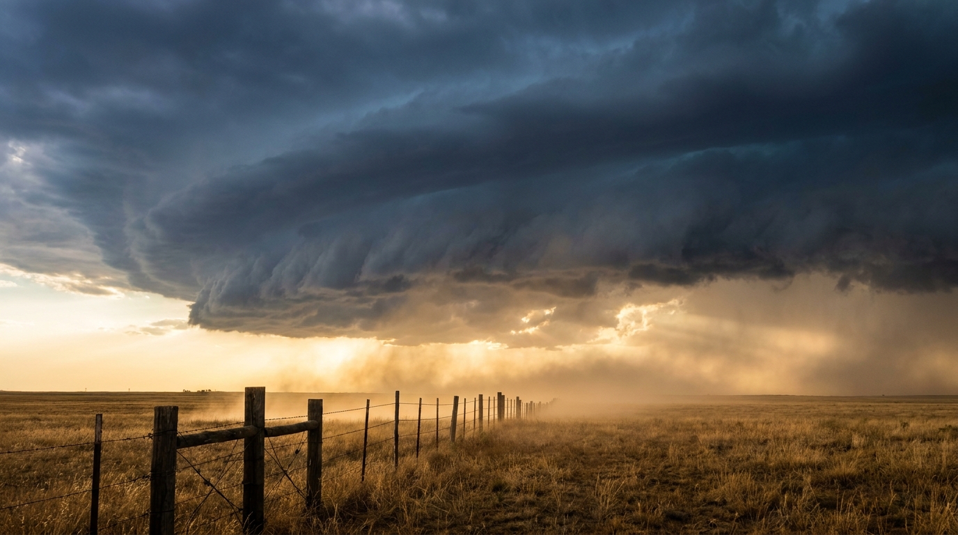
Screaming Winds in the Dakotas
Up in the Northern High Plains, the atmosphere was cooking. The Storm Prediction Center issued a Particularly Dangerous Situation Severe Thunderstorm Watch for Montana, North Dakota, South Dakota, and Wyoming. They warned about 100 mph wind potential.
They were right on the money. A trained spotter in Hebron, North Dakota, reported estimated winds of 80 to 100 mph at the peak of the storm. The power went out, and trees and branches came down all over town. We even had a rare heat burst in Fairfield, North Dakota. The temperature spiked to 92 degrees with a 66 mph wind gust. That happens when a dying thunderstorm dumps a column of air that compresses and heats up as it hits the ground. It is wild meteorology.
What We Got Right and What We Learned
Looking back at our forecast, we nailed the major impacts. We warned y'all about the life-threatening flash flooding in Alabama and the 100 mph wind threat in the Dakotas. Both of those verified exactly as expected.
The big lesson from June 07 is patience. When a storm hits a populated area like Springfield, the initial reports always sound apocalyptic. As meteorologists, we have to communicate the threat without buying into the early hype. The EF0 rating in Battlefield proves that the system works. We warn for the worst-case scenario, and then we verify with science.
What Comes Next
The weather is not taking a break. Here is what we are tracking right now:
- Tuesday's Northern Plains Threat: We have an Enhanced Risk for severe weather across North Dakota, South Dakota, and Minnesota. The data shows a 45 percent hatched risk for severe hail. That means hailstones over 2 inches are possible. There is also a 10 percent hatched tornado risk, meaning any tornadoes that form could reach tornado report or stronger.
- Space Weather: A G3 Strong geomagnetic storm is hitting Earth today. You might see the aurora if the skies clear out up north.
- The Tropics: Tropical Depression Two-E organized into Tropical Storm Boris off the coast of Mexico. It has 40 mph winds right now.
Bottom Line
Yesterday tested our infrastructure with catastrophic water and tested our nerves with violent wind. The folks in Alabama and Illinois have a long cleanup ahead of them. For those of you in the Northern Plains, you need to use today to prepare. Tuesday is bringing another loaded atmosphere, and you need a rock-solid plan for large hail and potential tornadoes.