Blog Article
June 08, 2026 Weather Recap: 113 MPH Winds & Tornadoes
Read our full weather recap for June 08, 2026. We break down the 113 mph wind gust in Kansas, Ozark flash flooding, and confirmed tornado reports.
The Day The Wind Howled
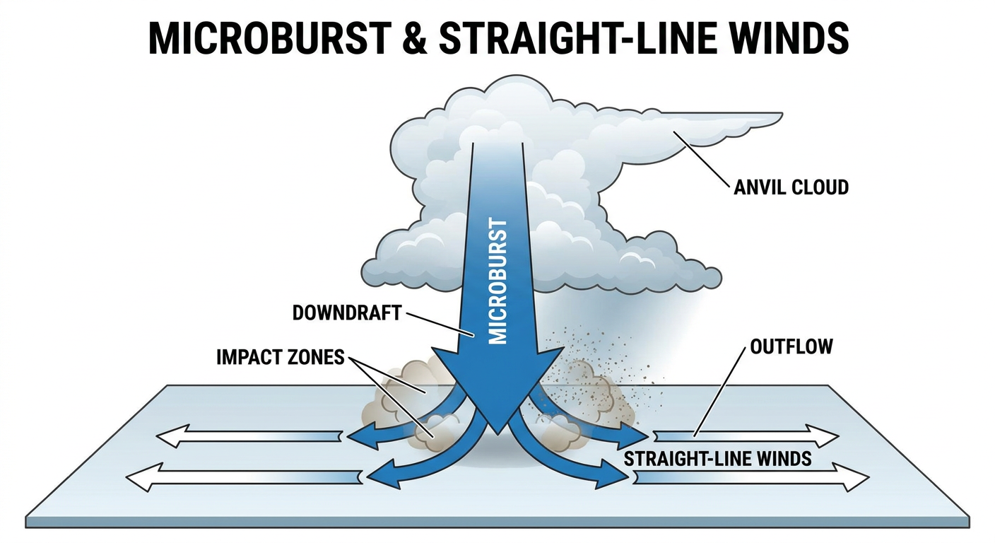
Alright folks, yesterday was one of those days that reminds us why we respect the wind. When we talk about severe thunderstorms, a lot of people only worry about tornadoes. But get this: the Salina Regional Airport in Kansas measured a 113 mph wind gust yesterday. That is equivalent to a major hurricane, and it happened right in the middle of the country.
The Storm Prediction Center actually issued a rarely used Particularly Dangerous Situation (PDS) Severe Thunderstorm Watch for 100 mph wind potential. That is not something you see every day.
How June 08 Unfolded
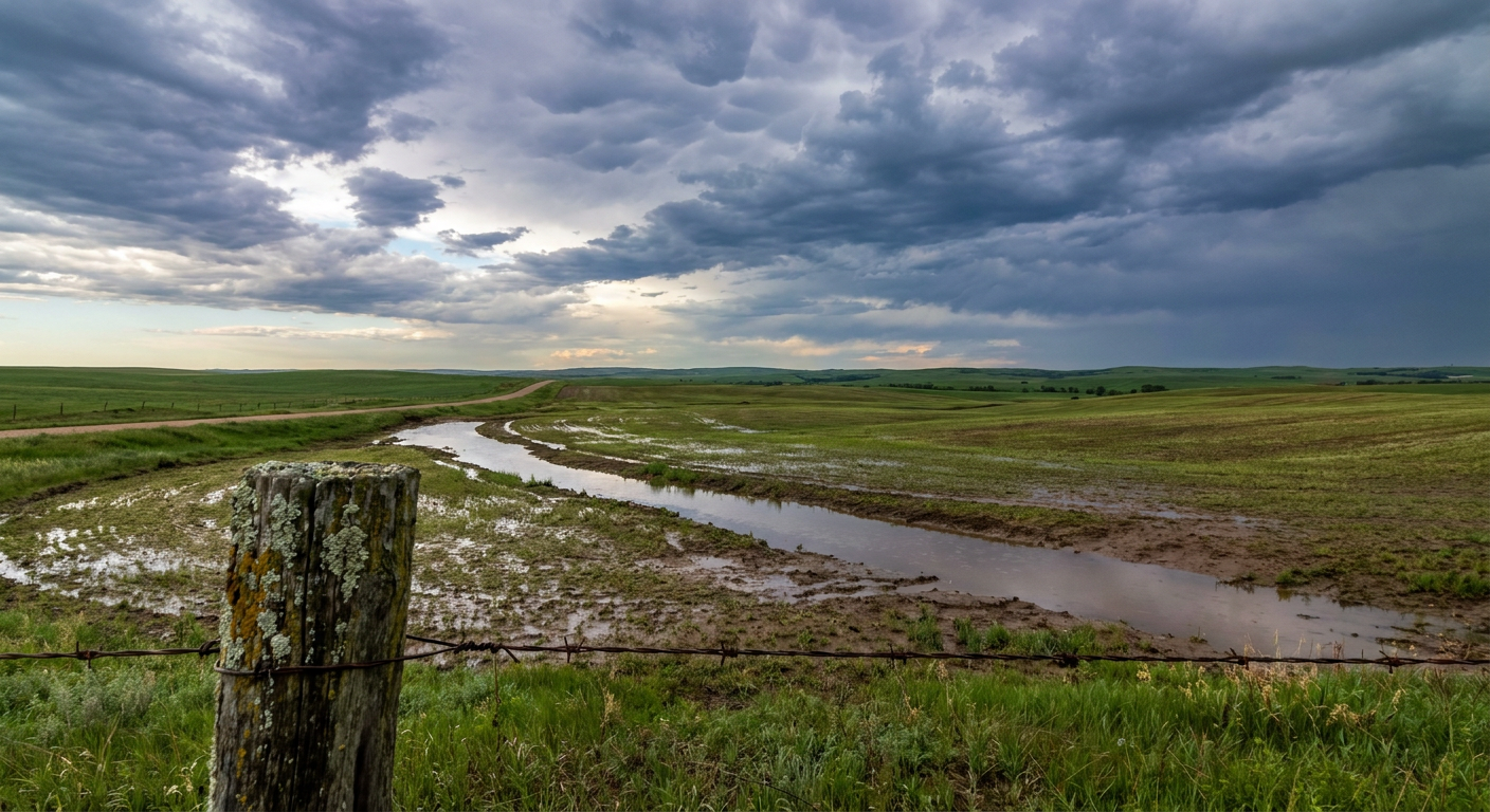
The day started with a focus up north. We had wind damage rolling through the Northern Plains early on, including a 98 mph wind gust measured near Emmet, North Dakota. By the middle of the day, the focus shifted to a major flash flood event in the Ozarks. Parts of Southwest Missouri and Southeast Kansas picked up 4 to 9 inches of rainfall. The water rose fast, and local officials had to perform multiple water rescues.
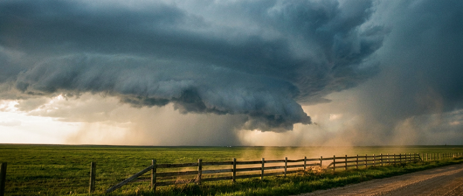
By the late afternoon and evening, the severe threat escalated across the Central High Plains. We had a confirmed multi-vortex tornado reported 13 miles east of Kiowa, Colorado. We also saw landspouts spotted by storm chasers and the public in Lipscomb County, Texas, and south of Lyman, Nebraska.
Over in the Northeast, an NWS storm survey confirms a brief tornado near the end of Conti Road just east of Centerville, Pennsylvania. The rating and other details for that tornado are to be determined.
Forecast vs. Reality
Here is the thing about yesterday: the atmosphere did exactly what the data suggested it would. Our previous update highlighted the Storm Prediction Center's Enhanced Risk for parts of North Dakota, South Dakota, and Nebraska.
Inside that risk area, forecasters highlighted a hatched zone where gusts could easily exceed 75 mph. That verified in a big way. The 113 mph gust in Salina and the 98 mph gust in North Dakota proved that the high-end wind threat was very real. The forecast also called for life-threatening flash flooding in the Ozarks, and sadly, the 4 to 9 inches of rain brought exactly that.
What Meteorologists Can Learn
This event is a textbook example of why PDS Severe Thunderstorm Watches exist. When the environment is primed for extreme straight-line winds, the damage can be just as widespread and severe as a tornado.
It also shows how a single weather system can produce vastly different hazards depending on the time of day and location. We went from morning wind damage to midday water rescues to evening tornadoes.
The Threat Shifts East
The severe weather is not done yet. Today, we have another Enhanced Risk across parts of the Central and Northern Plains, with a 10 percent hatched risk for tornadoes and a 45 percent hatched risk for widespread damaging winds.
By Wednesday, this whole system shifts east into the Upper Mississippi Valley and the Midwest. We have another Enhanced Risk covering eastern Minnesota, Wisconsin, Iowa, and northwest Illinois. If you live in Minneapolis, Madison, or the Chicago suburbs, Wednesday afternoon and evening is your timeframe to watch. We are looking at the potential for hen-egg-sized hail, 75 mph wind gusts, and a hatched area where a few strong tornadoes are possible.
(Quick note for our coastal folks: Tropical Storms Boris and Cristina have officially formed in the Eastern Pacific, but they are not a threat to the US mainland right now.)
Bottom Line
Yesterday proved that severe thunderstorm warnings need to be taken just as seriously as tornado warnings. A 113 mph wind gust will take down trees, power lines, and structures just like a tornado would. As this system moves into the Midwest over the next 48 hours, make sure you have multiple ways to get warnings and a sturdy place to shelter if the wind starts howling.