Blog Article
June 18, 2026 Weather Recap: Floods and Tornadoes
A complete recap of the June 18, 2026 severe weather event, including the Anker Lake dam failure, Louisiana flooding, and an EF-2 tornado in Indiana.
The Water Took Over
Y'all, the most dangerous part of yesterday was not the wind. It was the water. We saw observed rainfall totals exceed 26 inches in central Louisiana within a 24-hour period. That is a staggering amount of rain. It prompted a Flash Flood Emergency for Avoyelles Parish, Louisiana.
Just to the east, the situation escalated quickly in Mississippi. The Anker Lake Dam in Pearl River County failed. Emergency managers had to issue immediate evacuation orders and another Flash Flood Emergency. When a dam gives way, the water moves fast and it takes everything with it.
Further north, Cincinnati faced life-threatening flash flooding. The water rose fast enough to shut down Interstate 75 and force multiple water rescues.
Ground Truth on the Tornadoes
We also had a localized tornado threat that materialized right where the data suggested it would.
Here is what the National Weather Service and local emergency managers have officially confirmed from yesterday's storms:
- Indiana to Ohio: An NWS Storm reported an tornado report tornado touched down in Franklin County, Indiana, and crossed into Butler County, Ohio. Maximum estimated winds hit 125 mph near Drewersburg.
- Mississippi: A tornado was reported near Whites Crossing, just east of Wiggins. Emergency managers reported trees down across Highway 25, and this matched up perfectly with a tornadic debris signature on radar.
- Louisiana: The public submitted video confirming a tornado in Dupont.
- Waterspouts: We had confirmed waterspouts offshore near Biloxi, Mississippi, and south of Grove City, Florida.
Forecast vs. Reality
Let's talk about the forecast. In yesterday's blog, we highlighted the Weather Prediction Center's Moderate Risk for excessive rainfall over the central Gulf Coast. That forecast verified exactly as drawn. The heavy rain set up right over Louisiana and Mississippi. We knew the flood threat was serious, but seeing a dam failure is always a sobering reality check.
We did not see the Florence, Kentucky tornado that some early, unverified chatter suggested. The confirmed damage in that region came from the tornado report near Cedar Grove, Indiana, and straight-line winds in places like Inez, Kentucky.
A Nasty Setup for Saturday
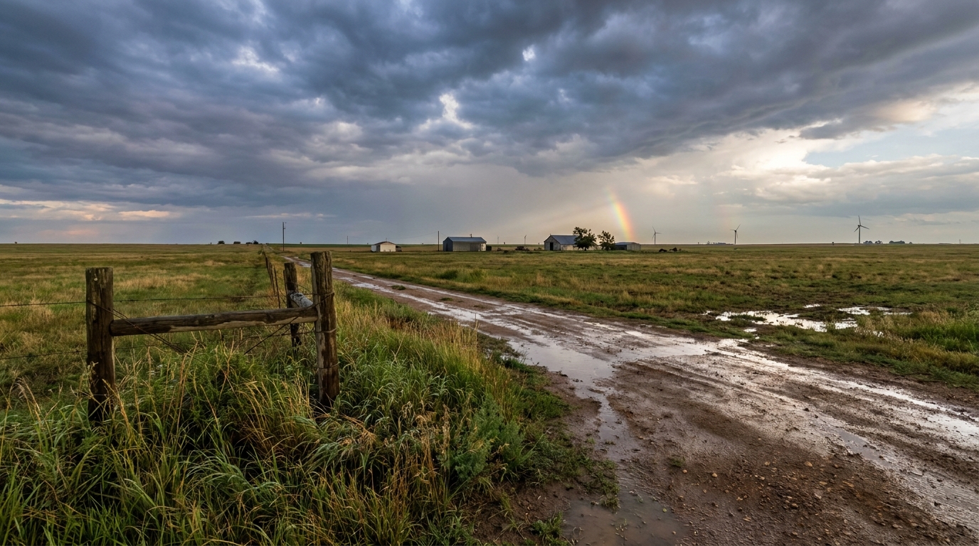
Alright folks, we need to talk about tomorrow. The Storm Prediction Center has an Enhanced Risk for severe weather across the Central Plains for Saturday. This targets eastern Colorado and Kansas.
Here is the thing. The environment out there is primed for significant severe weather. The SPC has highlighted a hatched area for wind, meaning gusts could exceed 75 mph. They also have a hatched area for hail, which means we could see hailstones two inches or larger. That is the size of a hen egg. On top of that, there is a hatched area for tornadoes, meaning any tornadoes that form in that specific zone could reach tornado report intensity or stronger.
The WPC also has a Moderate Risk for excessive rainfall posted for the Central Plains and Missouri Valley on Saturday. You do not want to be driving a high-profile vehicle through 75 mph crosswinds and blinding rain.
Bottom Line
Yesterday proved how destructive slow-moving water can be. The Gulf Coast took a massive hit, and the cleanup there will take time. Now, the weather pattern is shifting the primary threat back to the Plains. If you live in Kansas or eastern Colorado, use today to secure loose items around your yard and review your severe weather plan. Saturday is going to be a busy day.