Blog Article
June 19, 2026 Severe Weather Recap: Flooding & Tornadoes
A complete weather recap of June 19, 2026. Historic flash flooding hit Mississippi, while tornadoes and 75 mph winds swept from Minnesota down to Texas.
Historic Gulf Coast Flooding and Scattered Tornadoes: June 19, 2026 Recap
Y'all, June 19, 2026, was a day that escalated quickly. We woke up looking at a localized severe threat, and by the evening, we were tracking regional flash flood emergencies and organized storm systems across the map. The Gulf Coast took the hardest hit, just like we talked about yesterday, but we had a few surprises pop up along the way.
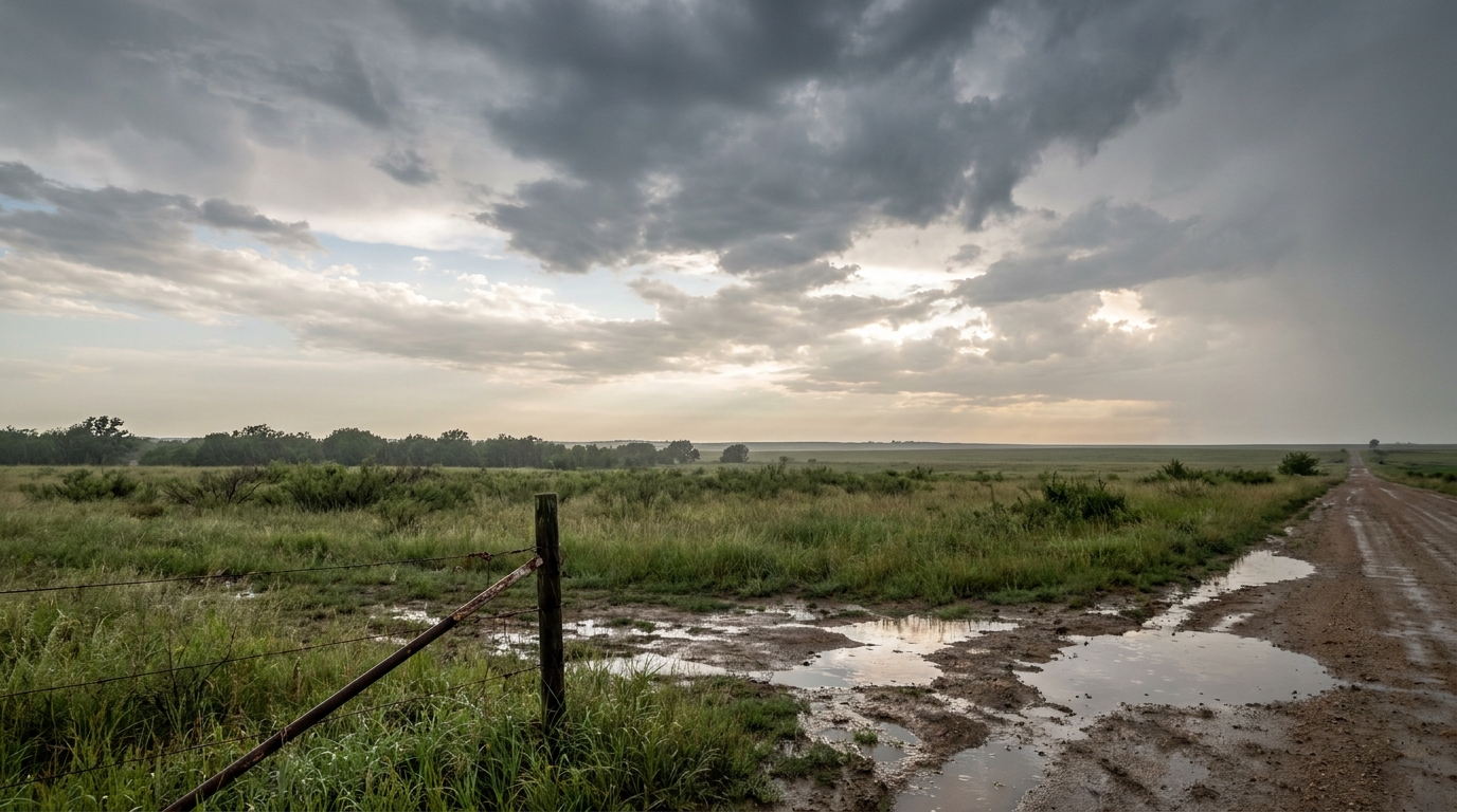
The Forecast vs. Reality
Yesterday morning, we discussed the Moderate Risk for excessive rainfall along the Gulf Coast and the High Plains severe threat. The atmosphere delivered on both fronts. The heavy rain setup in the South overachieved in a big way, while the High Plains saw exactly the kind of wind we expected.
Here is how the day actually unfolded:
- Historic Gulf Coast Flooding: The situation in Mississippi turned dire. Seminary, Mississippi, saw a rare 11 inches of rain in a single day. That prompted a Flash Flood Emergency and multiple water rescues. The water just had nowhere to go. The Biloxi River near Wortham crested three feet above its all-time record.
- Scattered Tornado Reports: We had a few confirmed tornadoes touch down. Up north, a storm chaser reported a tornado near Laporte, Minnesota, crossing Highway 200. Down south, a tornado near Bay Minette, Alabama, left roadway debris and electrical hazards. We also saw tornadic activity in the New Orleans metro area that damaged four homes.
- Severe Wind: The High Plains storms packed a punch. The Peabody Fire Department in Marion County, Kansas, measured a 75 mph wind gust. Down in Texas, straight-line winds damaged boats and docks on the western side of Possum Kingdom Lake near Palo Pinto.
- The Nevada Surprise: Forecast models did not scream flash flooding for western Nevada, but Spanish Springs ended up under a Flash Flood Emergency with one to two feet of water covering intersections.
What We Are Tracking Next
The pattern is not slowing down today. The Storm Prediction Center has an Enhanced Risk up for eastern Colorado, western Kansas, and southern Nebraska. If storms fire in that zone, we are looking at a threat for 75 mph winds and hail over two inches in diameter.
The Weather Prediction Center also has a Moderate Risk for excessive rainfall right back over the central Gulf Coast today. Tomorrow, that Moderate Risk shifts up into the Central Plains and Missouri Valley as a big complex of storms moves through.
Bottom Line
The Gulf Coast desperately needs a break from the water, but the atmosphere is not ready to give them one. We saw how fast 11 inches of rain can change a community yesterday. If you live in these risk areas today, keep your phones charged, respect road closures, and take those warnings seriously.