Blog Article
June 22, 2026 Severe Weather Recap: Bow Echo & Hail
June 22, 2026 recap: a 102 mph bow echo hit Oklahoma, 113 mph winds and 6 inches of hail struck Colorado, and 11 tornadoes were reported across the Plains.
June 22, 2026 Severe Weather Recap: One Day, A Whole Lot of Atmosphere
Alright folks, June 22 was a busy one from the Southern Plains all the way out to the High Plains, and it threw just about every severe weather hazard we track at the map. Let me walk you through what actually happened, because there's a lot here.
The headline number? A measured wind gust of 102 mph at 7 W Hinton, Oklahoma, as a mature bow echo rolled through central Oklahoma and the Oklahoma City metro. That's not a guess. That's a measured gust, and gusts like that snap trees, peel roofs, and knock out power in a hurry.
How The Day Unfolded
The morning belonged to the Southern Plains. An intensifying mesoscale convective system bowed out over central Oklahoma and produced that 102 mph gust. As it pushed east, it shifted character. Instead of a wind machine, it turned into a heavy rain producer as it moved through Arkansas and into Tennessee.
That transition matters, because the back half of the system was all about water. Flash flooding swamped roads in the Memphis, Tennessee, and Lexington, Kentucky, metro areas, with submerged vehicles and water rescues.
In Arkansas, around 6:21 AM local time, the National Weather Service logged a tornado 2 WNW of Ozark with a tornado debris signature observed on radar. A debris signature means the radar was picking up lofted material, which tells you something was actually on the ground.
The High Plains Stole The Show Later
By afternoon and evening, a second round of severe weather lit up the central High Plains, and northeast Colorado is where things got extreme.
Near Akron, Colorado, mesonet stations measured wind gusts of 113 mph and 109 mph. To put that in plain terms, 113 mph is hurricane-force and then some. That ties into one of the day's true rarities.
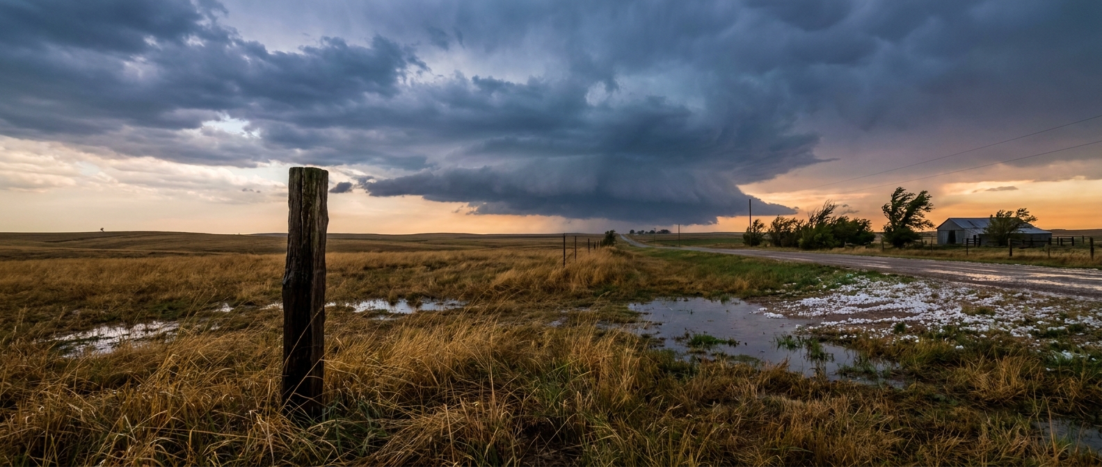
And then there was the hail. In Logan County, Colorado, severe storms dumped up to six inches of hail on the roadways. Crews had to bring out snowplows to clear it. In late June. Three-inch hail along Interstate 76 injured a motorist. That is a serious hazard, not a novelty.
Here's the thing about giant hail and extreme wind in the same neighborhood: it tells you the storms had enormous updrafts and strong downdrafts feeding off steep lapse rates and good shear. The High Plains is built for exactly this kind of setup in summer.
The Tornado Count
Yesterday's storm reports included at least 11 tornado reports spread across several states. Here's what the verified local storm reports show:
- Savageton, Wyoming: Two tornado reports, one with structural damage and 13 power poles snapped off, per Powder River Energy Corporation. Photo and video were received.
- Ozark, Arkansas: Radar-confirmed tornado with a tornado debris signature.
- Fowler, Colorado: Tornado reports near and southwest of Fowler, including one logged by a storm chaser that lasted roughly five minutes.
- 26 SW Bakersfield, Texas: A tornado reported near I-10. Emergency management noted potential damage indicators were present but nothing was damaged, and radar suggested a brief, weak tornado.
- Hawesville, Kentucky: The NWS storm survey team determined an EF0 tornado with 85 mph winds impacted parts of Hancock County. The survey found a path 3.5 miles long, on the ground about 10 minutes, reaching 100 yards in maximum width.
That Hancock County survey is the only tornado from this batch with a completed NWS rating in hand. The rest are reports. Surveys take days to finish, so I'm not going to slap ratings on storms that haven't been surveyed yet. That's how we keep the recap honest.
What We Forecast vs What Happened
The forecast going into this held up well, and I'll give credit where it's due.
- The 113 mph and 109 mph gusts near Akron? Measured and verified.
- Six inches of hail needing snowplows in Logan County? Confirmed.
- The Mid-Atlantic threat of damaging wind and a brief tornado along a sharpening boundary? That lined up with the overall pattern of a multi-region severe day.
One note on precision: the prior writeup mentioned grapefruit-sized hail near Joes, Colorado. The verified storm reports I'm working from confirm the Logan County six-inch accumulation and the three-inch hail on I-76, so those are the hail figures I'll stand behind here.
The big picture verified cleanly. The atmosphere did what the ingredients said it could do: a destructive bow echo in the Southern Plains, extreme wind and giant hail on the High Plains, and a flash flood threat trailing east.
What's Coming Next
The pattern isn't done. The Storm Prediction Center has an Enhanced Risk, Level 3 of 5, posted across the central High Plains for today, centered near Denver, Cheyenne, Akron, and Burlington. The threats: hail two inches and larger, wind gusts of 75 mph or more, and isolated tornadoes. A Slight Risk reaches down through Oklahoma City, Colorado Springs, Tulsa, and Wichita, with a Marginal Risk stretching toward Dallas, Kansas City, and Raleigh.
For tomorrow, SPC keeps a Slight Risk on the central and southern High Plains with the same large-hail and severe-wind story. The Weather Prediction Center has a Slight Risk of excessive rainfall across the central and southern Plains into the Lower Mississippi Valley today, with that heavy rain threat persisting into the middle of the week. When repeated rounds train over the same ground, flooding becomes the headline.
On the tropical side, things are quiet. There are no active named storms, just one invest in the eastern Pacific, so no concerns for the mainland there right now.
Bottom Line
June 22, 2026 was a multi-hazard day that delivered exactly what the setup advertised: a 102 mph bow echo in central Oklahoma, 113 mph wind and snowplow-grade hail on the Colorado High Plains, at least 11 tornado reports, and flash flooding from Memphis to Lexington. The forecast nailed the big strokes, and the verified data backs it up. The same High Plains setup reloads today and through midweek, so folks from the Front Range into the Plains should keep an eye on the sky and have a way to get warnings.