Blog Article
June 24, 2026 Severe Weather Recap: Tornadoes & Floods
June 24, 2026 recap: confirmed tornadoes in Colorado, Illinois, and Wisconsin plus dangerous flash flooding in Oklahoma and Green Bay. What verified vs forecast.
June 24, 2026 Recap: Tornadoes on the High Plains, Floodwaters in the Heartland
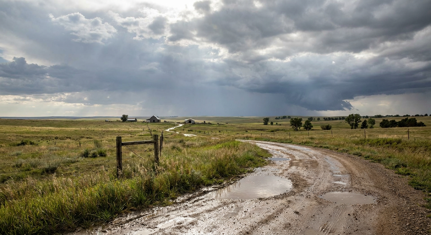
Y'all, yesterday was a busy one across the middle of the country. The atmosphere worked two angles at once. On one side you had spinning storms across the High Plains and into the Midwest. On the other you had rain coming down in buckets, the kind that turns a street into a creek before you can move your car.
Let's walk through what the verified data actually showed, because that's the only way to do a recap right.
The Tornado Reports
The headline grabber came out of northeastern Colorado in the evening. At 6:25 PM Mountain time, around 0025 UTC on the 25th, the fire department confirmed a tornado about 2 miles north-northwest of Fleming. That report came in through the Boulder forecast office (LSR ID 202606250028-KBOU).
Then the action shifted east into northern Illinois. At 5:34 PM Central, the McHenry County emergency manager reported a tornado about 3 miles west-southwest of Huntley. Their report noted roof damage to a barn along Harmony Road near Brier Hill Road, and video on social media showed a likely tornado with lofted debris (LSR ID 202606250320-KLOT). The time on that one was estimated by radar.
The daily history summary also flagged a confirmed tornado near Shullsburg in Lafayette County, Wisconsin, and more tornado activity across northeastern Colorado. Out near Medicine Bow, Wyoming, a storm chaser reported a landspout at 3:06 PM Mountain time.
Here's the honest part. The verified storm reports do not yet carry EF ratings, path lengths, or survey results for any of these tornadoes. NWS damage surveys take days to finish. So we're going to call these what they are right now: confirmed tornado reports. The ratings will come later.
The Flooding Was The Bigger Story For Many
While the tornadoes got the attention, the water did the widespread damage. The rain set up over ground that was already soaked.
A few things the history summary documented:
- Tulsa and Creek counties, Oklahoma saw intense flash flooding that forced multiple swift water rescues, including an airboat rescue of a child. Around 500 employees were evacuated from a building in Glenpool.
- Haynesville, Louisiana picked up over 7 inches of rain. Vehicles stalled and highways closed.
- Green Bay, Wisconsin took torrential rainfall that produced severe urban flooding, water rescues, and a roof collapse at the Safe Haven Pet Sanctuary.
That Green Bay roof collapse is the kind of thing that sticks with you. Extreme rainfall accumulation caved in a structure full of animals. That's the real-world cost of rain that just won't quit.
Wind Damage Filled In The Gaps
Between the tornadoes and the flooding, plain old thunderstorm winds did plenty of work too. Verified reports came in from a wide spread:
- A tree uprooted onto a house 5 miles southwest of Madrid, Nebraska, with photos relayed by the local fire department.
- Tree branches down on Ridge Road near Clark Road, 2 miles east-northeast of Griffith, Indiana.
- A large tree branch down in Sterling, Illinois.
- A tree blocking an intersection in Royal Palm Beach, Florida.
None of those are dramatic on their own, but stack them up across that many states and you get the picture of a long, active day.
How The Forecast Held Up
Let me give credit where it's due. The Weather Prediction Center had a Moderate Risk of excessive rainfall up over parts of the central and southern Plains, and the flooding in Oklahoma delivered on that concern. The forecast called out Haynesville's 7-plus inches, and that verified. The setup the blog described, with deep moisture wringing out over saturated ground, is exactly what played out in Tulsa and Creek counties.
The severe side was framed honestly too. The earlier outlook leaned on a Slight Risk with the wind threat as the headline, and noted not to shrug it off. We ended up with confirmed tornadoes that, frankly, ran a touch ahead of a low-end tornado expectation. That's the High Plains for you. Landspouts and brief spin-ups can show up even when the bigger parameters look modest.
So the rain forecast was a solid hit. The severe forecast got the threat right but the tornado count nudged a bit above the headline message. Both of those are useful lessons.
What's Coming Next
The pattern isn't done. Here's where things stand for today, June 25:
- SPC has a Slight Risk of severe storms across parts of the southern and central Great Plains, with Tulsa, Wichita, Lubbock, Amarillo, and Springfield in the zone. The main threat is strong to severe wind gusts, with a Level 3 of 5 wind area and an isolated tornado threat across north central Oklahoma into south central Kansas.
- WPC has a Moderate Risk of excessive rainfall over southeast Kansas into southwest Missouri. If you're in that corridor, the flooding story from yesterday is your warning shot.
- Looking ahead, the active rain threat shifts toward the Mid-Mississippi and Ohio Valleys by Friday and Saturday, and severe storms become possible across eastern Montana and western North Dakota Saturday.
Get this: the same ingredients that caused trouble yesterday are still loaded up. Saturated ground plus more rain is a recipe for repeat flooding.
Bottom Line
June 24 was a two-front day: confirmed tornadoes from Colorado to Wisconsin, and flash flooding that forced rescues in Oklahoma and a roof collapse in Green Bay. The rain forecast verified well. The tornado activity came in a little hotter than the headline suggested, a good reminder that High Plains storms can spin up fast.
The ground across the southern Plains is still wet, and more heavy rain is on the way. If you live near a low spot or a creek in southeast Kansas or southwest Missouri today, keep a plan ready and never drive into water across a road. We'll keep you posted as the damage surveys come in and the EF ratings get assigned.