Blog Article
June 29, 2026 Severe Weather Recap: 131 MPH SD Wind
June 29, 2026 recap: a measured 131 mph wind gust hit South Dakota, tornadoes were reported across the Northern Plains and Minnesota, plus Michigan flooding.
June 29, 2026 Severe Weather Recap: A 131 MPH Wind Gust in South Dakota and Tornadoes Across the Northern Plains
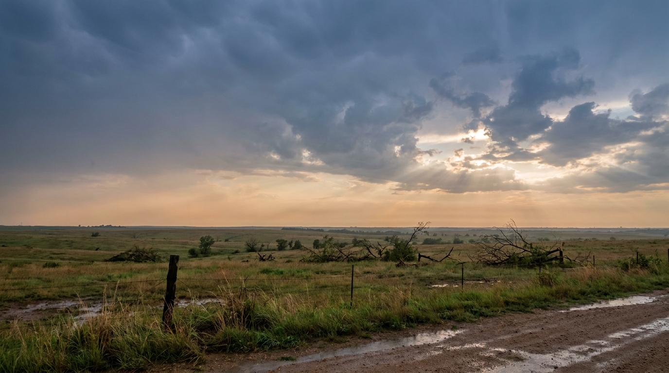
Y'all, the headline number from yesterday is a hard one to wrap your head around. A measured peak wind gust of 131 mph near Highmore and Holabird in Hyde County, South Dakota. That's not a tornado. That's straight-line convective wind, and a gust that strong is genuinely rare. Most people will go their whole lives without standing in anything close to it.
Here's the thing about a number like that. At 131 mph, you're talking wind speeds that rival a strong tornado, but spread out over a wide swath instead of a narrow path. It snaps trees, peels roofs, and flattens crops in straight lines. When meteorologists see a reading like that, the first question is always whether the instrument held up and whether the siting was good. The data here lists it as a measured peak gust, so we're treating it as the real deal.
How the day unfolded
The storms got going early in the morning across northeastern South Dakota. The first tornado reports came in around 8 AM local time near Andover.
- 1:01 PM UTC (around 8 AM CDT), 1 S Andover, SD: A Department of Highways observer reported a tornado that quickly became rain-wrapped (LSR from WFO Aberdeen).
- 1:02 PM UTC, 2 S Andover, SD: A member of the public shared a picture and video of the tornado on Facebook.
- 1:13 PM UTC, near Pierpont, SD: Marshall County Emergency Management relayed a tornado report. Time and location were estimated.
Three tornado reports clustered in that one corner of northeastern South Dakota inside about fifteen minutes. Rain-wrapped tornadoes are the dangerous kind, because the rain hides the funnel and you can't see it coming until it's close.
As the afternoon rolled on, the same broad system pushed energy into the Upper Midwest and Great Lakes. Over northern Little Traverse Bay in Michigan, a waterspout was reported at 6:15 PM UTC, viewed from Petoskey. Down in the Carolinas and across northern Wisconsin, scattered wind damage rolled in:
- Near Bayfield, WI (8:11 PM UTC): A trained spotter reported several large trees down on the highway between Bayfield and Washburn, some around 12 inches in diameter.
- Near Powdersville and Cowpens, SC: Trees down on roadways and power outages from limbs on lines.
Then late in the evening, the action came back around to the Northern Plains. At 2:17 AM UTC (just after 9 PM CDT), a storm chaser reported multiple brief tornado touchdowns 3 SW of Flom, Minnesota (LSR from WFO Grand Forks).
What the data confirms
Let me be straight with you about what we can and can't say. The reports above are preliminary Local Storm Reports from spotters, emergency managers, highway crews, and the public. They tell us tornadoes were observed. They do not give us EF-ratings, path lengths, or duration. NWS damage surveys take days to finish, so anybody throwing out a rating today is guessing.
What we know for sure:
- A measured 131 mph convective wind gust in Hyde County, South Dakota. Extremely rare.
- Tornado reports near Andover and Pierpont, SD, and near Flom, MN.
- A waterspout over northern Little Traverse Bay, MI.
- Severe flash flooding and landslides along the M-119 corridor in Emmet County, Michigan, serious enough to require door-to-door evacuations and water rescues. Flooding and landslides along the northern Lake Michigan shoreline in late June is highly anomalous.
And well away from the storms, a couple of oddities rounded out the day: an unseasonable 18.0 inches of measured snow near Princeton, Montana, and a magnitude 5.5 earthquake about 218 kilometers off the coast near Bandon, Oregon, with aftershocks. Different stories, same day.
How the forecast held up
Give credit where it's due. Yesterday's blog led with the 131 mph reading and called it the rare part, and that was right. It flagged the multiple tornadoes in northwest Minnesota, and the Flom report confirms it. It mentioned the heavy rain washing out roads along the Tunnel of Trees in Michigan, and the M-119 corridor flooding and rescues bore that out. The big pieces of the story were on the board.
The one thing worth a small correction: that forecast referenced a 4.81 inch rain total at Northport and tornadoes specifically in northwest Minnesota. The verified storm reports we have in hand confirm the Flom, MN tornado and the Emmet County flooding, but rainfall totals at specific towns weren't in the report set I'm working from. So I'll point you to the confirmed impacts rather than restate a number I can't verify here.
What's coming next
This pattern isn't done. The Storm Prediction Center has a Slight Risk (level 2 of 5) for today across northern Wisconsin and the Upper Peninsula of Michigan, parts of New York and Vermont, and portions of the central and southern Plains. A broad Marginal Risk (level 1) sweeps in a much bigger crowd, from Omaha and Minneapolis to New Orleans and Rochester. Damaging wind and large hail are the main concerns, with a small hatched area where stones could reach 2 inches.
Looking to Wednesday, the Day 2 outlook keeps a Slight Risk going from the mid-Missouri Valley into central Wisconsin, including the Minneapolis area. Forecast models point to a storm cluster ongoing over eastern South Dakota and southern Minnesota early Wednesday morning. The Weather Prediction Center also has a Slight Risk of excessive rainfall over the Upper Midwest for Wednesday, so the flooding angle stays in play.
One more for the night-sky watchers: NOAA's Space Weather Prediction Center says G1 (Minor) geomagnetic storming is likely today, with isolated chances of reaching G2 (Moderate), tied to a CME that left the Sun on June 27.
Bottom Line
June 29 was a Northern Plains and Upper Midwest day, and the standout was that 131 mph straight-line wind gust in Hyde County, South Dakota, a reading you almost never see. Tornadoes were reported near Andover and Pierpont in South Dakota and near Flom in Minnesota, and northern Michigan dealt with flash flooding and landslides serious enough to force rescues. The forecast caught the big themes. Ratings and final numbers on those tornadoes will come once NWS surveys wrap up, and we won't guess before then. With the same broad pattern still in place, folks from the Plains into the Great Lakes should keep a way to get warnings over the next couple of days.