Blog Article
June 30, 2026 Severe Weather Recap: Bow Echo & Winds
June 30, 2026 severe weather recap: an Upstate NY bow echo, late-night Colorado tornado reports, and an 81 mph gust in Kansas. What happened and what's next.
June 30, 2026 Severe Weather Recap: A Long Day From New York to the Colorado Plains
Y'all, June 30 was one of those days where the map lit up in more than one place at once. The headline for most folks living it in real time was Upstate New York, where a bow echo raced through the afternoon and evening and dropped trees and power lines across county after county. By the time the sun went down, crews from the Mohawk Valley to the Hudson Valley were out clearing roads.
Here's the thing about a day like this. The threat didn't stay in one lane. We had morning tornado touchdowns up in Minnesota, wind damage in the Northeast, a waterspout off the Florida coast, and then late at night the show moved out to the high plains of Colorado. Let's walk through how it all unfolded.
How the day came together
The atmosphere got busy early. Confirmed brief tornado touchdowns showed up in Clay and Becker counties in Minnesota during the early morning hours, the kind of quick spin-ups that don't last long but still demand a warning and a heads-up.
By midday, the Florida Gulf coast got in on it. A member of the public recorded video of a waterspout about 4 miles southwest of Anna Maria Island around 9:45 AM Eastern. Waterspouts off that stretch of coast are a summer regular, but they're always worth a look.
Then the afternoon turned the Northeast into the main stage.
The Northeast bow echo
This is where the day earned its reputation. A line of storms organized into a bow shape and pushed east across Upstate and Central New York, along with a chunk of western New England. The National Weather Service in Albany logged report after report:
- Trees down near Poland, NY, with a tree onto wires on Graves Road in Newport (about 3:17 PM ET, reported by law enforcement)
- Trees down in the Perth area near Hagaman, NY
- Trees and wires down across the city of Hudson, NY (reported by the 911 call center)
The damage wasn't confined to New York. Over in Belchertown, Massachusetts, law enforcement reported several trees down on Blue Meadow Road, with the time estimated from radar.
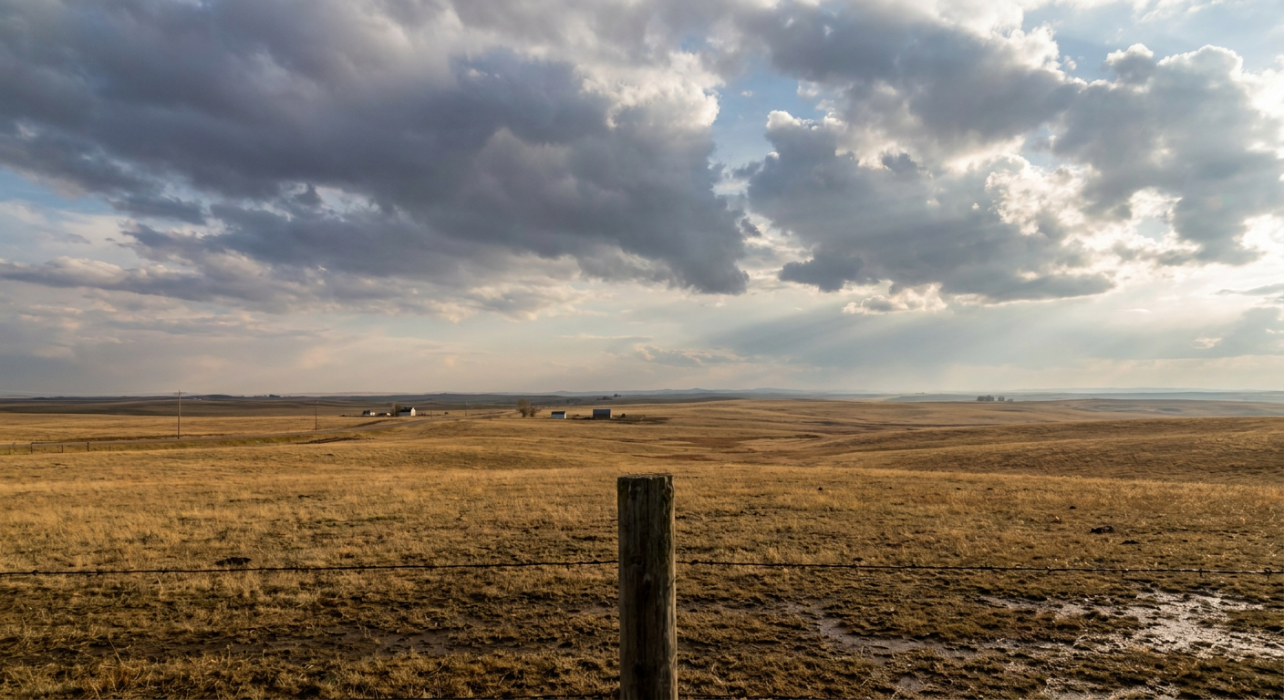
That structure in the diagram is exactly what drove the New York damage. When a line of storms bows out like that, a jet of dry air punches in from the back and drags fast winds down to the surface. Those winds ride out ahead of the storm on the gust front, and that's what snaps trees and drops lines.
Wind in Kansas and a late-night finale in Colorado
Out on the Plains, the day had its own story. A measured 81 mph wind gust was reported near Selkirk, Kansas, tied to a destructive thunderstorm cluster. That's a real, measured number, not a radar estimate, and it tells you how much punch these storms carried.
The last chapter came after dark on the Colorado plains. The Weather Service in Boulder logged two tornado reports from the public east of Sterling, Colorado, right around 7:40 to 7:46 PM Mountain time. One was reported 2 miles east of the North Sterling Reservoir, and the other about 5 miles east of Sterling, roughly a mile north of US 6. Both came in from public reports.
Down south, the storms reached the Gulf Coast too. Near Stockton, Alabama, an emergency manager reported a power line in the road at Bass Lane and Highway 225, with the time estimated by radar.
What else happened that day
Severe storms weren't the only thing going. A magnitude 5.5 earthquake was recorded about 218 km west of Bandon, Oregon, followed by several aftershocks. Up in the high country of western Montana, a late-season snow accumulation of 18.0 inches was reported at elevation, which is a real rarity for the end of June. And the sun sent out an X1.14 class solar flare from Sunspot Region 4479, strong enough to cause an R3 (Strong) radio blackout.
How it stacked up against the forecast
The forecast leading into this stretch put the severe threat squarely in the right neighborhood. The Storm Prediction Center's outlooks flagged the Upper Midwest, the Northeast, and the central High Plains, and that's where the reports landed. The Northeast wind damage, the Minnesota tornadoes, the Colorado spin-ups, and the Kansas gusts all fell inside those highlighted zones.
Where I'll be honest with you: the loudest verified impacts of the day came from wind, not tornadoes. The bow echo damage across New York and that 81 mph gust in Kansas were the standout confirmed reports. The tornado reports we got were brief touchdowns and public sightings rather than long-track events, which lines up with the "a few tornadoes possible" framing rather than a big tornado day. The atmosphere delivered on the wind threat.
What's coming next
The storm machine isn't shutting off. For today, July 1, SPC has an Enhanced Risk covering about 77,000 square miles and roughly 5.5 million people across the Midwest into the Upper Great Lakes, including Green Bay, Traverse City, and Mason City. Damaging wind is again the main concern, with gusts to 80 mph possible inside that zone, plus isolated large hail and a few tornadoes. A broader Slight Risk pulls in Minneapolis and a separate zone in the Northeast around Rochester, Syracuse, and Albany.
The Weather Prediction Center also has a Slight Risk of excessive rainfall over the Upper Midwest, with localized rates of 1 to 2 inches per hour possible along a cold front draped from southern Minnesota into Wisconsin. That flooding threat looks to hang around the Upper Midwest through Friday.
Day 2 and Day 3 keep a Slight Risk of severe storms going from the northern Plains into the Upper Midwest, so the same general pattern is set to repeat with the front sliding around.
Bottom Line
June 30 was a wind-driven severe weather day that spread from a bow echo in Upstate New York to late-night tornado reports on the Colorado plains, with an 81 mph gust measured in Kansas along the way. The forecast pointed at the right regions, and the wind threat verified the strongest. The bigger takeaway is that this pattern isn't finished. The Upper Midwest and Great Lakes are back in the crosshairs today, and the Northeast stays in the picture. If you're in those zones, keep a way to get warnings and charge your phone before the storms roll.