Blog Article
July 01, 2026 Severe Weather Recap: Wind, Hail, Tornadoes
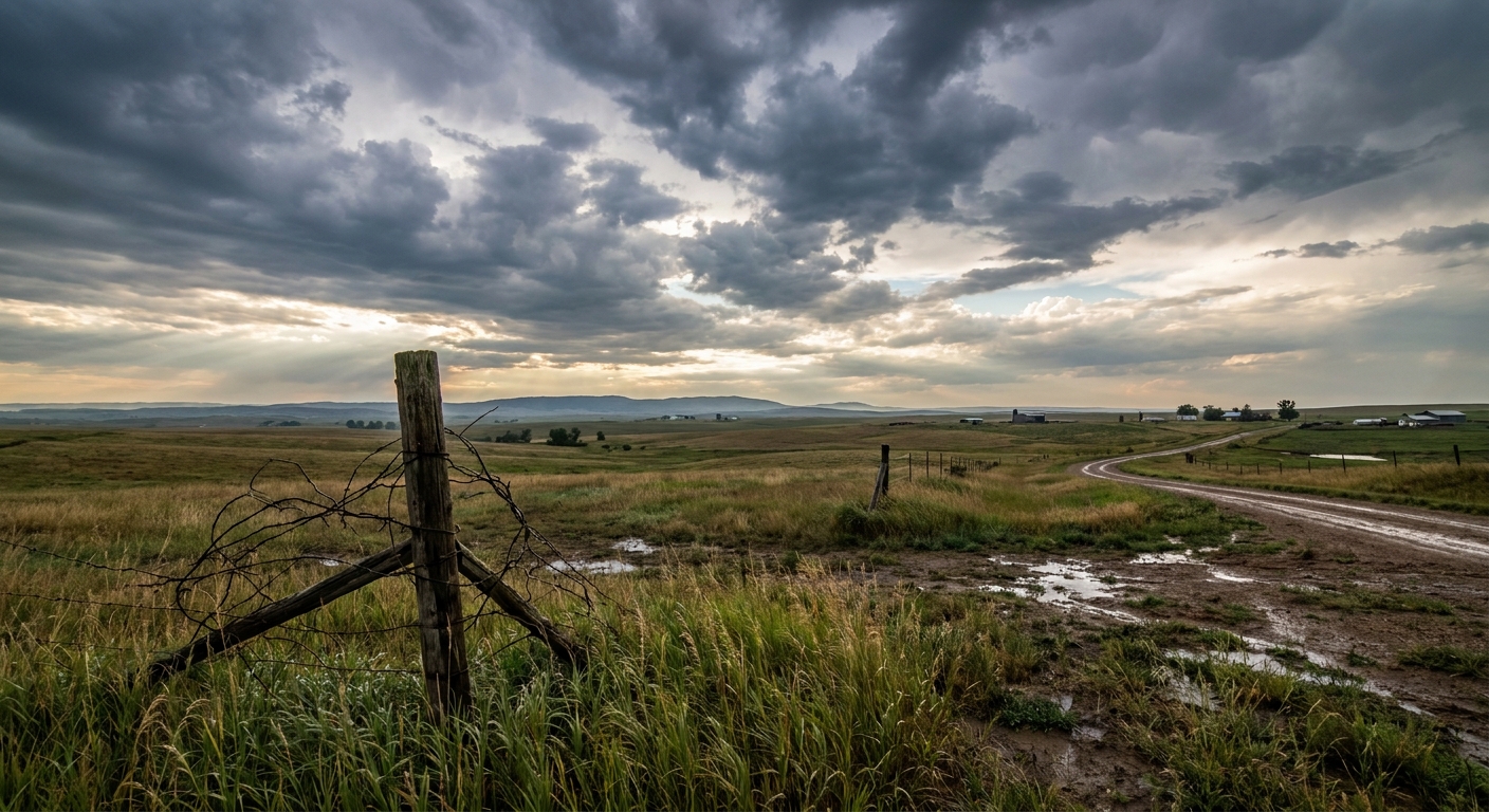
July 01, 2026 severe weather recap: an 85 mph gust in Nebraska, two brief Iowa tornadoes, giant hail in Wisconsin, and widespread wind damage into New England.
July 01, 2026 Severe Weather Recap: A Multi-Region Day From the High Plains to New England
Y'all, July 1 wasn't about one big storm. It was about a lot of them, spread out over a whole lot of country. The headline moment came early, out at Lake McConaughy in Nebraska, where a measured 85 mph wind gust at Kingsley Dam left injuries and property damage in its wake. That's a hurricane-force gust off a thunderstorm, and it set the tone for a busy 24 hours.
By the time the day wound down, we had confirmed tornado reports in Iowa, big hail in Wisconsin, and a stretch of wind damage that ran clean across the Great Lakes and into New England. Let me walk you through how it all played out.
How the day unfolded
The early punch was out in the High Plains. That 85 mph gust at Kingsley Dam is the kind of number that turns a nice day at the lake into an emergency in a hurry.
From there, things spread east and multiplied. Here's the rough timeline based on the verified local storm reports:
- Midday, eastern Wisconsin: Law enforcement reported trees and power lines down near High Cliff State Park. This was part of the significant hail event that pounded Fond du Lac and Sheboygan, with measured stones up to 3.25 inches. That's bigger than a baseball.
- Late afternoon, southern Appalachians: Amateur radio operators reported a tree down on power lines 3 miles south of Murphy, North Carolina, around 4:45 PM Eastern.
- Evening, the Northeast lights up: Wind damage reports stacked up fast. A tree snapped in half near Kenmore, New York. Trees and power lines came down in Cambridge and Underhill, Vermont. Multiple trees fell throughout Gouverneur, New York.
- Late evening, Iowa tornadoes: Two brief tornadoes were reported. A storm chaser captured video of a brief tornado 1 mile south of Stacyville that caused minor tree damage. Around the same time, the public reported multiple videos of a brief tornado touchdown near Oto, with the location estimated from that video.
- Overnight, Pennsylvania: A 911 call center reported numerous trees and wires down southeast of Tunkhannock along the PA 307 corridor.
The overall trend told the story: intense but localized High Plains storms in the morning, then a broadening, multi-region setup by afternoon, peaking in the evening with destructive hail in the Midwest and widespread wind damage from the Great Lakes into the Northeast.
The tornadoes: keep it in perspective
Both Iowa tornadoes came in as brief touchdowns, and that's exactly how the reports describe them. The Stacyville tornado caused minor tree damage. The Oto tornado was documented on video, with the location estimated from that footage.
Here's the honest part: NWS damage surveys take days to complete. As of this writing, there are no official ratings, path lengths, or durations for either tornado in the confirmed data. When those surveys come out, that's when we'll know more. Until then, "brief tornado reported" is the accurate way to say it, and I'm not going to dress it up beyond that.
What was forecast vs what happened
Now, an important note on timing. The forecast blog we published was looking ahead at July 2, with that Enhanced Risk drawn across the northern Plains into the Upper Midwest and the 30% damaging wind chances. So it's not a direct grade on July 1 itself.
But it's still useful, because July 1 was the warm-up act for the same pattern. The forecast leaned hard on damaging winds as the main threat, and that's precisely what July 1 delivered: gust after gust, from Nebraska to New England, with the tornado threat staying low-end and brief. The persistent theme of storms riding a stalled boundary through the northern Plains and Upper Midwest showed up right on cue.
The forecast also flagged heavy rain piling up over the same ground, with precipitable water running 1.5 to 2 inches. July 1 backed that up with flash flooding reported in Bozeman and Helena, Montana, and in southeastern Louisiana, off rainfall rates up to 1.5 inches per hour.
What's coming next
The pattern isn't done. The Storm Prediction Center has an Enhanced Risk for July 2 across the northern Plains into the Upper Midwest, covering Sioux Falls, Marshall, Montevideo, Morris, and Ortonville. Damaging wind is again the headline, with a 30% chance near the center and a hatched zone where gusts could top 75 mph. A broad Slight Risk wraps in Minneapolis, Milwaukee, Madison, and Des Moines, plus a separate piece over the southern Appalachians.
Heavy rain stays a concern too. The Weather Prediction Center has a Slight Risk of excessive rainfall over the northern Plains and Upper Midwest, then again Friday into the western Great Lakes, with locally heavy totals of 3 to 5 inches possible on that same stressed ground.
By Saturday the Fourth, the severe focus shifts to the Mid-Atlantic, with a Slight Risk from New York down through Philadelphia, Baltimore, and Washington. Weak shear, but strong heating and a moist airmass favor downburst winds.
And there's a space weather wrinkle. A G2 Moderate Geomagnetic Storm Watch is out, tied to a coronal mass ejection from a June 30 event, with disturbed conditions expected to begin around July 3. If skies clear where you are up north, that could mean an aurora shot.
Bottom Line
July 1 was a straight-line wind day first and foremost, with that 85 mph gust in Nebraska as the standout and a long ribbon of tree and power line damage from the Great Lakes into New England. The two Iowa tornadoes were brief and low-impact, and we'll let the official surveys speak on ratings when they're done. The same wet, wind-prone pattern carries into July 2 and the holiday weekend, so folks from the northern Plains to the Mid-Atlantic will want to keep an eye on the sky.