Blog Article
July 05, 2026 Severe Weather Recap: Wind and Floods
July 05, 2026 recap: a 92 mph gust in Norman, OK, life-threatening flash flooding in Tyrone, PA, and dozens of wind reports across the East. Full breakdown.
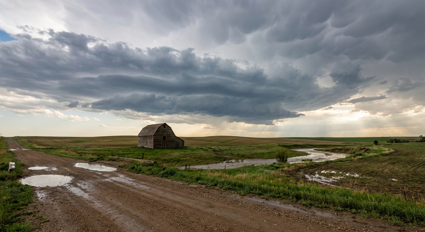
July 05, 2026 Recap: Wind in the Plains, Water in the East
Y'all, this was a day that pulled in two directions at once. Out in Oklahoma, a mature line of storms drove a wind gust of 92 mph across the ground at the OU Westheimer Airport in Norman. That is the kind of gust that snaps limbs, peels shingles, and tosses anything loose. Meanwhile, more than a thousand miles east, Tyrone, Pennsylvania was fighting water instead of wind, with catastrophic flash flooding that needed high-severity rescues and helicopter support.
One July day, two very different kinds of trouble.
The Morning: Wind in the Southern Plains
The headline number is that 92 mph gust in Norman during the passage of a mature MCS, which is a mesoscale convective system. Think of it as a big, organized cluster of thunderstorms that acts like one machine, dragging a wall of wind along its leading edge. When that outflow slams down and spreads out, you get gusts like that even without a tornado.
We also had a 76 mph gust measured near Impact, Texas, tied to a forward-propagating storm complex. Forward-propagating is just a fancy way of saying the storms were building on their own downwind edge and racing along, feeding off the cold air pool they generated.
The Afternoon and Evening: Water Takes Over in the East
By afternoon the story shifted hard toward flooding. In Pennsylvania, the flash flooding reached life-threatening levels. Water got into the first floors of industrial facilities and homes, and crews were running water rescues in Tyrone. A bridge collapse was reported in Clarion County, Pennsylvania, tied to high water.
Along with the flooding, a long chain of wind damage reports rolled across the eastern states through the afternoon and into the night. Here is a sample of what came in, straight from Local Storm Reports:
- 4 SW Mount Pleasant, NC (9:25 PM UTC): A tornado was reported by the public, with a ham radio operator noting a tree blown down at Miami Church Rd and Joe Bost Rd (LSR from WFO GSP).
- 3 SE Shermansdale, PA: Utility crews reported numerous trees down on wires around Shermansdale.
- 4 N Franklin, WV: Multiple trees down on US 220 between Franklin and Upper Tract, reported by the emergency manager.
- 6 ENE Mineral Wells, WV: Trees and power lines down at Stillwell Road and Rock Run Road.
- 2 SW Greeneville, TN: Several trees down, reported by law enforcement.
- 2 SSW Hadensville, VA: Trees down blocking Route 606.
- 9 NE Manning, SC and 8 E North, SC: Trees down on power lines, reported by county dispatch.
A Severe Thunderstorm Watch, number 463, was issued for North Texas, covering roughly 9.9 million people.
One note on that Mount Pleasant tornado report. It came in from the public through a ham radio operator, and what got documented was a single tree blown down. That is a report, not a completed survey. The National Weather Service takes days to finish a damage survey, so there is no official rating on it, and I am not going to invent one.
And for those keeping an eye on the tropics, Super Typhoon Bavi reached Category 5 intensity in the Western Pacific with estimated 155-knot winds. That storm was well away from the U.S., but it is worth logging as one of the day's rarities.
Forecast Check: How Did We Do?
Here is the honest scorecard. The blog leading into this stretch was focused on the Northeast flood setup, and that verified in a big way. The Weather Prediction Center Moderate Risk for excessive rainfall was aimed at the Mid-Atlantic and Northeast, and the Pennsylvania flooding fit that regime of training thunderstorms along a stalled front. When you have precipitable water over 1.75 inches and storms that keep firing over the same ground, you get exactly the kind of hydrological crisis that hit Tyrone.
The severe wind piece across the Mid-Atlantic, which was flagged at a Marginal Risk, also showed up in the reports. Trees down in West Virginia, Virginia, Pennsylvania, Tennessee, and the Carolinas all line up with a damaging wind threat east of the Blue Ridge.
Where the day added a wrinkle was the Southern Plains wind. That 92 mph gust in Norman and the 76 mph gust near Impact, Texas were the most extreme numbers of the day, and they underscore that a well-organized MCS can produce localized wind that rivals or beats a marginal severe threat elsewhere.
What's Coming Next
The pattern is shifting the action north and west. For today, the Storm Prediction Center has a Slight Risk over the eastern Dakotas and western Minnesota, with large to very large hail and damaging wind as the main hazards. There is even a hatched area where hail could reach 2 inches, hen-egg size, the kind that cracks windshields. A Marginal wind risk still lingers across the southern Mid-Atlantic and Carolinas.
On the water side, WPC has another Moderate Risk for excessive rainfall over coastal New Jersey and southeast Massachusetts through Monday, so the Northeast is not done yet. Slight Risks for heavy rain then track into the Northern Plains and Upper Midwest Tuesday and Wednesday.
The bigger longer-range signal is heat. WPC and CPC are both flagging a strengthening upper high over the Four Corners that builds a major heatwave across the Southern U.S. and Southwest through the week, with a Moderate risk of extreme heat for the Great Basin, Desert Southwest, and Southern Plains next week.
Bottom Line
July 05, 2026 was a two-front day: wind-driven storms in the Plains and a genuine flood emergency in Pennsylvania. The Northeast flood forecast verified, the Mid-Atlantic wind threat verified, and the Plains delivered the day's most extreme gusts. The takeaway for the days ahead is a split personality of its own, with more heavy rain in the Northeast and Upper Midwest early in the week, then a serious heat build for the Southern tier. Keep water out of your way and keep cool where the heat is coming.