Blog Article
July 06, 2026 Severe Weather Recap: MN Tornadoes
July 06, 2026 recap: six tornadoes reported across northwest Minnesota, 12-14 inches of rain on Kelleys Island, and rapid flash flooding in Philadelphia.
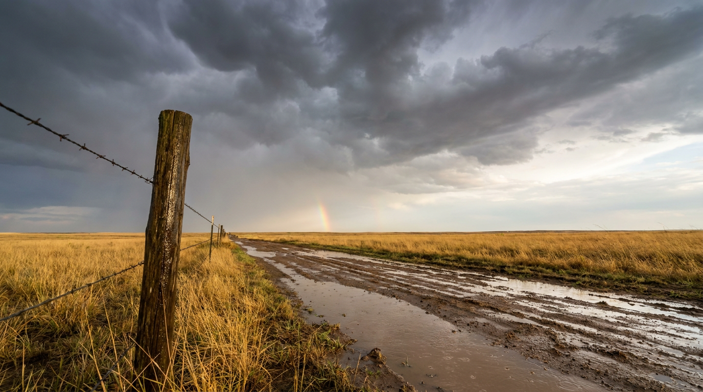
July 06, 2026 Severe Weather Recap: A Flood Morning, A Tornado Evening
Y'all, July 6 was really two different days stacked on top of each other. The morning belonged to water. The evening belonged to the wind.
By the time the sun went down, storm chasers, trained spotters, and law enforcement in northwest Minnesota had reported six separate tornadoes. That was the headline. But to understand how we got there, we need to start hours earlier, way out east, where the trouble began with rain.
The Morning: Water, Water, Water
The day started with flooding that hit hard and fast.
Out on Kelleys Island in Lake Erie, public and private stations reported 12 to 14 inches of rain in about a 6-hour window. That is an astonishing amount of water for one small island, and it led to structural flooding and road closures.
Down in Philadelphia, Frankford Creek did something that should get your attention. It rose 6.02 feet in 21 minutes. Not 21 hours. Twenty-one minutes. That is the kind of rise that catches people in cars and basements before they have time to react.
In Monmouth County, New Jersey, training storms, meaning cells that keep moving over the same spot like train cars on a track, produced enough rain to cause interior flooding at Jersey Shore Medical Center and force multiple water rescues.
Here is the thing about that flood setup: it was the tail end of a pattern that had already hammered New Jersey and New York over the weekend. The water threat did not vanish overnight. It just kept finding new neighborhoods.
The Evening: Northwest Minnesota Turns
As the afternoon wore on, the action shifted to the northern Plains and Upper Midwest, and that is where the tornadoes came in.
The earliest tornado report came out of Lake Bronson, Minnesota, at 19:45 UTC. Law enforcement reported a brief touchdown that flipped over a trailer as it was pulling into a service station. Everybody take a second and think about how close that is to a bad outcome.
Then the evening lit up. Between roughly 00:47 and 02:16 UTC, storm chasers and a trained spotter logged five more tornado reports across the Detroit Lakes and Westbury area of northwest Minnesota. Here is what got reported:
- 3.5 NW Detroit Lakes and 4 NW Detroit Lakes: roofs off buildings, snapped trees, and MNDOT reporting debris on the roadway
- 3 S Westbury: a roof blown off a small building, with more debris on the road
- 3 WNW Westbury: power poles knocked over with power flashes
- 3 NNW Norcross: a chaser near Herman reported a cone tornado to his northwest, on the ground for about 2 minutes before it lifted
All of these came through the Grand Forks (FGF) forecast office. Every one of them was reported by trained eyes: chasers, a spotter, and law enforcement. That matters, because those are the folks who know what they are looking at.
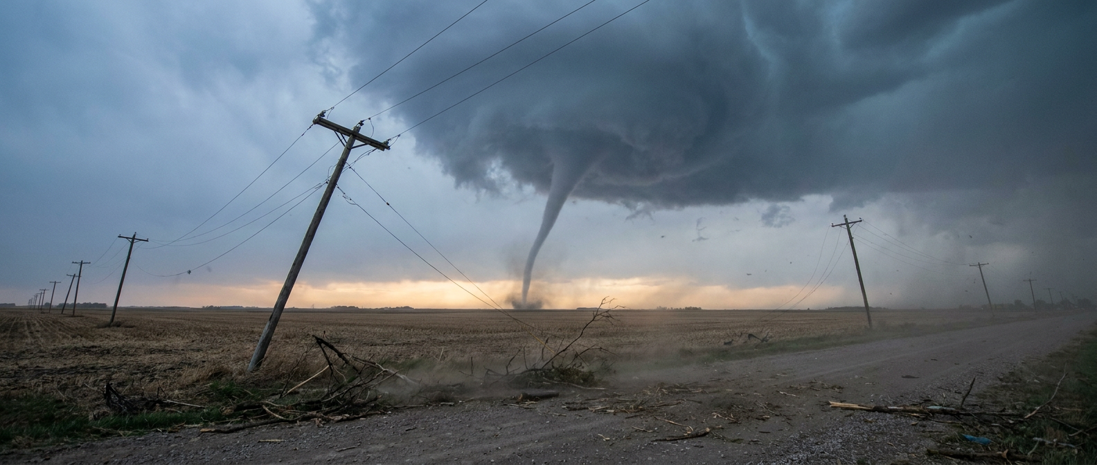
One note on the ratings: the National Weather Service takes days to survey damage and assign EF-ratings. As of this recap, those surveys were not in the data, so I am not going to put a number on any of these. They were tornadoes, reported and documented. The rating work comes later.
Elsewhere Around the Country
The severe weather was not confined to Minnesota. Northwest Louisiana saw measured 70 mph wind gusts and 1.5-inch hail around the Shreveport and Bossier City area. Becker County, Minnesota, took a hit from a severe convective system that removed roofs from buildings and snapped power poles.
Wind damage reports came in from the Southeast too. Near Bowman, South Carolina, a 911 call center reported trees down on Baxley Road and Vance Road through Orangeburg County dispatch. Over in Heathsville, Virginia, another 911 center reported trees down in the Courthouse Road area.
And out west, southern Colorado got a geologic sidebar: a sequence of earthquakes near Segundo, including an M 4.2 and an M 4.0 within about a 10-minute window. That has nothing to do with the weather, but it was part of the day's story.
How It Compared to the Forecast
Let me be straight with you about how yesterday's forecast held up, because that is how we keep trust.
The flood details were nailed. The forecast called out Kelleys Island seeing 12 to 14 inches and Frankford Creek jumping six feet in 21 minutes, and both verified almost exactly. Good work there.
The severe setup was described as a Slight Risk from the northern High Plains into the Upper Midwest, with the idea that if storms fired, they could drop quarter-size hail or bigger and kick out 60-plus mph gusts. That is what happened. Northwest Minnesota got the tornadoes, Becker County got the wind, and the ArkLaTex saw that 1.5-inch hail and the 70 mph gust in the Shreveport area.
Where I will be honest: the forecast leaned on the flood story and the broad severe risk, and did not specifically flag a tornado cluster in northwest Minnesota. Six tornado reports in one corner of one state is more than a plain Slight Risk usually implies. The atmosphere overperformed in that pocket. That is a reminder that risk categories tell you the odds, not the ceiling.
What's Coming Next
The pattern is not done. For Tuesday, the Storm Prediction Center kept a Slight Risk of severe storms from the northern High Plains into the Upper Midwest, with Minneapolis, Billings, Rapid City, and Marshall in the zone. The main threats are large hail and damaging wind, with a scattered damaging wind threat rated Level 2 for a few million people.
The Weather Prediction Center also had a Slight Risk of excessive rainfall for the northern Plains and Mid-Atlantic on Tuesday, shifting toward the Upper Great Lakes and Upper Mississippi Valley on Wednesday. Some of those areas already have soaked ground and lowered flash flood guidance, so it does not take much new rain to cause trouble.
Looking further out, the bigger story turns to heat. The extended forecast points to major heatwaves building across the Southeast and North-Central U.S. this weekend under an expanding upper ridge. The CPC Week-2 Hazards Outlook carries a moderate risk of extreme heat for a big chunk of the country from July 14 to 17. Storms today, heat next week.
Bottom Line
July 6 was a two-part day: a flood morning in the East and a tornado evening in northwest Minnesota. The rainfall forecast verified beautifully, and the severe threat played out about where it was expected, though that cluster of six tornado reports around Detroit Lakes was on the high end of what a Slight Risk usually delivers.
The takeaway for y'all is simple. Risk categories set the odds, but they do not cap the outcome. When trained chasers and spotters are calling in tornado after tornado, the warnings matter and so does having a way to hear them. Keep that in mind through the middle of this week, because the Upper Midwest is not out of the woods yet.