Blog Article
July 09, 2026 Severe Weather Recap: Tornadoes & Floods
July 09, 2026 recap: North Dakota tornado reports, a 79.9 mph gust near Goodland KS, and life-threatening flash flooding in the Delaware Valley.
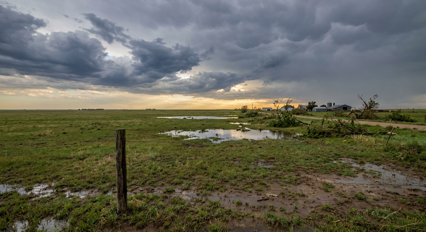
July 09, 2026 Recap: Tornadoes Up North, Floods Out East, and a Powerful Plains Gust
Alright folks, yesterday was one of those days where the weather map didn't pick just one story. It told about four of them at once, and every one of them mattered to somebody.
The headline moment came late in the day up in central North Dakota. A member of the public snapped a photo of a tornado on the ground about 10 miles south of Denhoff at 8:08 PM Central, with the circulation confirmed to be down. Earlier that evening, broadcast media reported another tornado 4 miles southwest of Hamberg, on the ground from 7:16 to 7:18 PM. Two separate tornado reports, both handled by the Bismarck National Weather Service office.
How the Day Unfolded
The morning started rough in Missouri. Storms rolled through the Kansas City metro and left a trail of wind damage behind them.
Here's the timeline of what got reported around KC:
- Downed wires near Spokane Avenue west-southwest of Claycomo (Local Official)
- Downed tree limbs and wires near 68th and Oak, north-northwest of Oakview (Public)
- Downed wires near 101st Road north-northwest of Post Oak (Utility Company)
- Downed trees and limbs east of Warrensburg (Public)
None of that is glamorous, but downed wires and trees are exactly the kind of thing that knocks out power and blocks roads for real people on a Thursday morning.
On the Gulf side, the public shared a picture of a waterspout about 5 miles south-southwest of Inlet Beach, Florida, in the late morning. And later in the evening, a trained spotter watched a brief waterspout spin up a quarter mile offshore from Cobb Island, Maryland, near Tompkinsville. That one stayed over the water and never reached shore.
The Wind and the Water
Get this. Out on the High Plains, a wind gust of 79.9 mph got measured 1 mile west of Goodland, Kansas, during a destructive thunderstorm. That is a serious gust, right on the doorstep of 80 mph.
Meanwhile, the Mid-Atlantic took the water hit. A Flash Flood Warning with a "Considerable" damage tag went out for Philadelphia and Camden, New Jersey, after rainfall rates hit 1 to 3 inches per hour in the Delaware Valley. That "Considerable" tag is not thrown around lightly. It means life-threatening flooding. Crews ran water rescues in New Castle County, Delaware, and Gloucester County, New Jersey, pulling folks out of vehicles caught in fast-rising water.
Up in the Upper Midwest, Interstate 90 shut down in Mower County, Minnesota, after 4.5 to 7 inches of rain fell.
Forecast vs Reality
Here's the honest scorecard.
The flash flood forecast was solid. The setup called for a heavy rain threat sliding from the Ozarks toward the Appalachians, and the Mid-Atlantic got the water in a big way. The "Considerable" tag for Philly and Camden, plus the water rescues in Delaware and New Jersey, lined up with the story of a persistent, high-rain-rate pattern.
The wind threat also verified. The forecast leaned on damaging gusts of 60-plus mph and isolated large hail, and the Goodland gust of 79.9 mph shows the High Plains had the punch to back that up. The Kansas City wind damage reports fit right in too.
What the previous outlook did not spell out was tornadoes in North Dakota. Those came from an active corridor farther north than the main flood and wind discussion focused on. That is a fair reminder that a summer pattern with this much energy floating around can produce a tornado report even when the headline is water and wind.
What's Coming Next
The pattern is not done. For today, the Storm Prediction Center has a Slight Risk for severe storms across parts of the southern and central High Plains and from the Ozarks into the mid Mississippi Valley, with damaging wind the main concern. The Weather Prediction Center keeps a Slight Risk for excessive rainfall from the mid Mississippi Valley into the central Appalachians, so the flood threat rides along with us.
By Saturday, the severe risk shifts toward the Ozark Plateau and the Tennessee Valley, with a Slight Risk there and a hatched area where the strongest gusts could reach 75 mph or more. Sunday brings a broad Marginal Risk across much of the Southeast and parts of Arizona.
On the space weather side, forecasters expect unsettled to active geomagnetic conditions on the 10th and 11th under a high-speed stream, with a chance for isolated G1 minor storming. Nothing dramatic, just worth a mention for the aurora watchers.
Bottom Line
July 9 was a multi-hazard day, and the forecast got the big pieces right. The heavy rain and damaging wind threats both verified, with a "Considerable" flash flood tag in the Delaware Valley and a nearly 80 mph gust near Goodland, Kansas. The two North Dakota tornado reports were the wild card, a reminder that a juiced-up summer atmosphere can put a funnel on the ground while everyone's eyes are on the water. The pattern stays busy through the weekend, so keep an eye on that Slight Risk if you live from the Ozarks into the Tennessee Valley.