Blog Article
July 11, 2026 Severe Weather Recap: Flood and Wind Day
July 11, 2026 recap: flash flooding drove MRAP rescues in Tennessee and a Missouri fatality, plus an 81 mph Tucson gust and a brief Illinois waterspout.
July 11, 2026 Recap: A Water Day First, A Wind Day Second
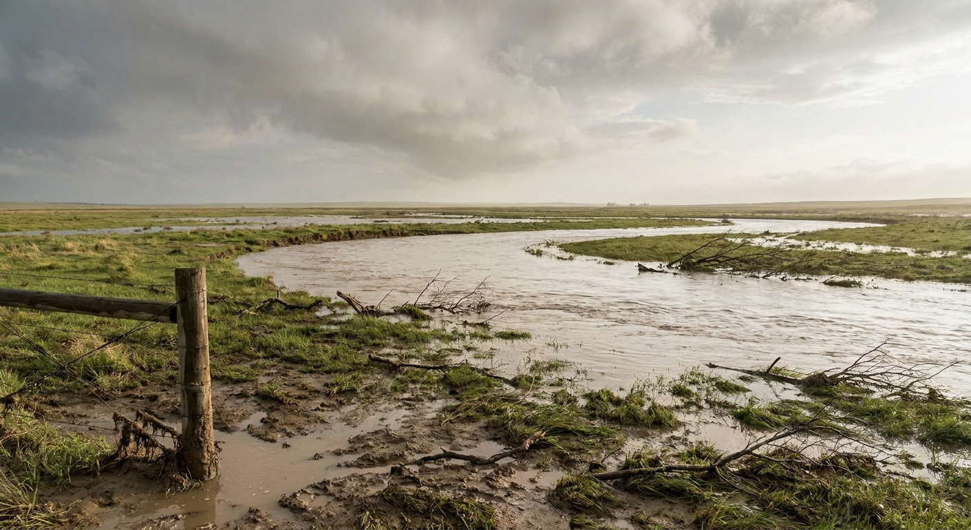
Y'all, if you had to sum up July 11 in one word, it'd be water. The scariest moment of the day didn't come from a tornado or a big hailstone. It came from Cocke County, Tennessee, where swift water rescue teams rolled out MRAP vehicles, the big armored trucks, to pull folks out of flooded homes. When rescuers need military-grade hardware just to reach your front door, that tells you how much rain fell and how fast it came up.
And the flooding turned deadly. A storm-related fatality was reported in Carter County, Missouri. That's the part of these events we never gloss over.
How The Day Unfolded
The trouble started overnight and early morning across the Midwest, with training thunderstorms. That's the setup where storm after storm rolls over the same ground like train cars on a track. Nothing empties out the sky faster than repeat rain over the same creek basin.
By afternoon, the action shifted east. This became a broad severe wind and urban flooding event across the Eastern US. In Louisville, Kentucky, crews ran multiple water rescues, including one for a vehicle submerged in seven feet of water. Seven feet. That's over your head and then some.
Wind damage reports piled up across the Southeast and southern Plains through the evening. A few of the confirmed local storm reports:
- 2 SSW Goose Creek, SC (8:54 PM UTC): tree down on the 8100 block of Blackstone Court
- 3 WNW Knightsville, SC (8:36 PM UTC): a tree fell on a transformer and caught fire
- 5 S Clayton, NC (10:07 PM UTC): three trees down off Lee Road
- 2 NNW Glasgow, KY (11:51 PM UTC): tree blocking Trappers Trail
- 2 S Locust Grove, OK (12:06 AM UTC): trees across the road
Up in northeast Arkansas, Black Rock took significant structural damage. Roofs were removed from City Hall and from residences. That's the kind of damage that changes a small town's week.
Then the day closed out where it often does in July: the desert Southwest. Davis-Monthan Air Force Base in Tucson clocked a measured 81 mph thunderstorm wind gust during monsoon activity. That's a genuine severe gust, not an estimate, and it's the kind of number that snaps power poles and peels off carports.
About That Tornado
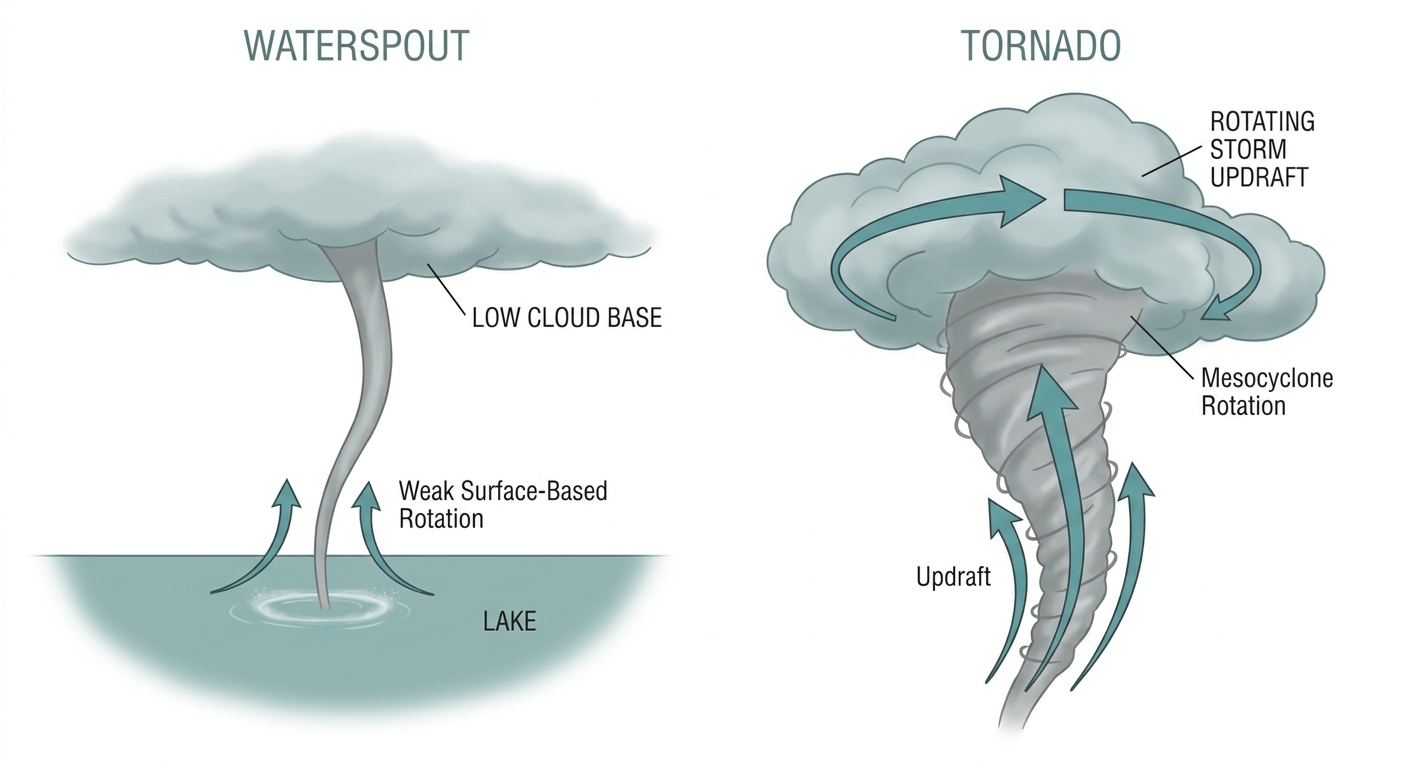
Here's the honest version, because you came here for straight talk. Yesterday's history flagged a tornado event, and the verified report backs it up, but it's a small one. An emergency manager reported that video footage showed a waterspout, possibly a landspout, briefly touched down at Moredock Lake, about 2 miles north of Valmeyer, Illinois, around 9:45 PM UTC.
Good news: it caused no damage. No EF rating has been assigned, and I'm not going to invent one. A brief lake-based spinup with no damage is a footnote to this day, not the headline. The story July 11 wanted to tell was about rain and wind.
Forecast vs Reality
The day-before forecast leaned hard into the flooding threat, and that call held up well. WPC had the excessive rainfall risk zeroed in on Kentucky, Tennessee, and the Carolinas, and that's exactly where the water problems showed up. Louisville rescues, the East Tennessee MRAP deployment, the training storms in the Midwest morning. Score one for the flood outlook.
The forecast also called the severe threat as "mostly a wind story," and that verified too. The bulk of the confirmed reports were trees down and structural wind damage, not big hail or a tornado outbreak. The Tucson 81 mph gust the forecast mentioned lined up with the monsoon activity that closed the day.
Where I'll be fair: the Black Rock, Arkansas structural damage and the Missouri fatality weren't specifically spotlighted ahead of time. That's the nature of flash flooding and localized wind. The broad-brush call was right; the exact pain points are always harder to pin down 24 hours out.
What's Coming Next
The pattern isn't done with the water theme. For today, July 12, WPC has a Slight Risk of excessive rainfall from Kentucky and Tennessee into southern Virginia and the Carolinas, with a slow-moving closed low and precipitable water values near 2 inches. Ground's already soaked from yesterday, so it doesn't take much.
SPC has a Slight Risk for severe storms across the Carolinas, eastern Georgia, and southern Arizona today, with damaging wind as the main threat again (a Level 2 of 5 wind risk over the Carolinas and eastern Georgia). The tornado threat is low, just 2 percent.
Looking ahead, the flood focus shifts toward Texas and the central Gulf Coast Monday and into central Texas Tuesday, where backbuilding, training storms could bring locally significant flash flooding to the Hill Country. That's a corridor worth watching for a possible upgrade.
Bottom Line
July 11 was a flood-and-wind day, not a tornado day. The single tornado report was a brief, harmless waterspout in Illinois. What actually hurt people was water: a fatality in Missouri, MRAP rescues in Tennessee, submerged vehicles in Louisville, and roofs gone in Black Rock, Arkansas. The forecast nailed the big picture, calling both the flood setup and the wind-dominant severe threat. The lesson carries straight into today and this week: when the ground's already full and the storms move slow, the rain gauge becomes the most dangerous instrument in the box. Watch the water in Texas next.